
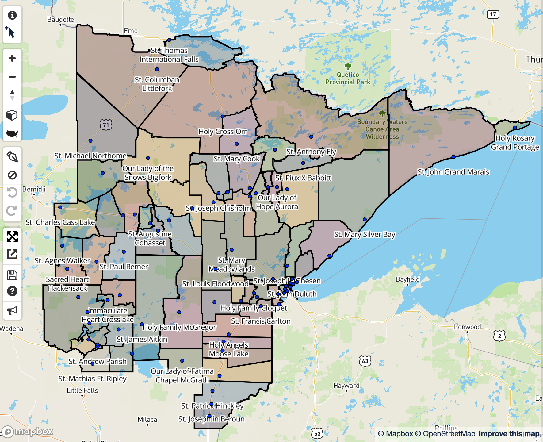
This project was assigned to me by a previous employer to implement new boundaries for the Diocese of Duluth. Going through and using the reference document submitted by the diocese, I drew the shapes one by one for the use of each parish. The boundaries drawn would act as spatial queries, allowing the priests and bishops to extract demographic data about the area that their parish takes in. This map is useful because it allows the priests and bishops to better gear the church for community outreach in order to try and get more people to come in and, hopefully, join the congregation.
Diocese of Duluth Parish Mapping
Plug-ins used
Google Maps API
tags
DemographicsGoogle
More by Reese Dresch


You might also like


Join the community!
We're a place where geospatial professionals showcase their works and discover opportunities.