
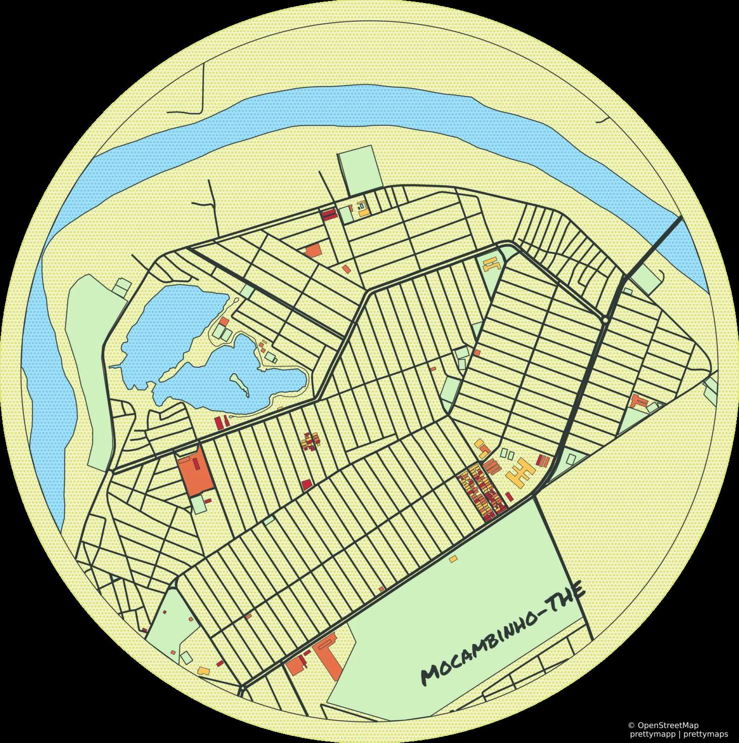
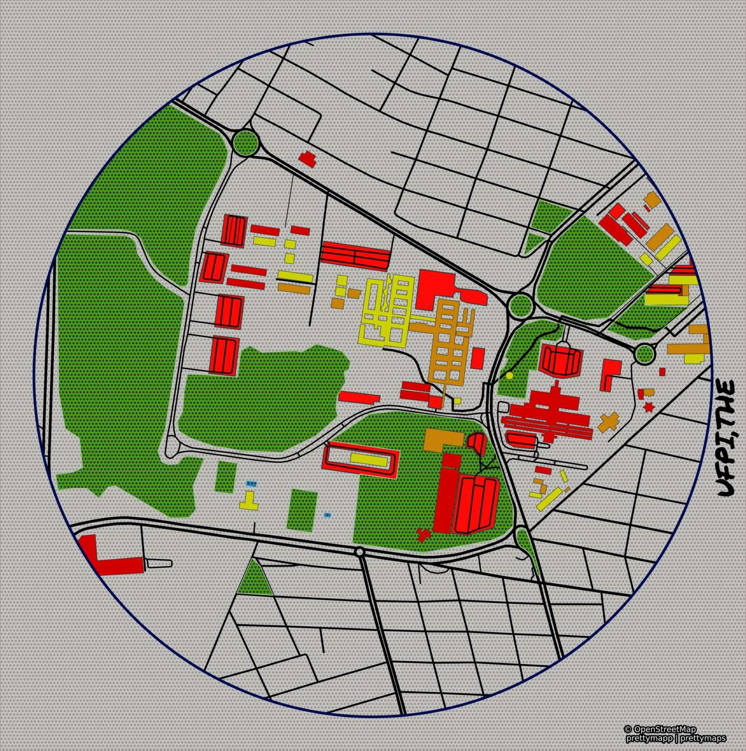
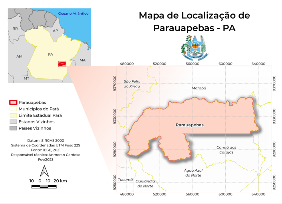
Aplicando a biblioteca #prettymaps desenvolvi este banner artístico utilizando de dados abertos do Open Street Maps.
Mapa artístico com base OSM
Tools used
Python
Plug-ins used
streamlit
tags
streamlit
More by Felipe Ferreira Monteiro

You might also like


_6066108.png&w=48&q=40 "Alysson Santos de Souza")


Join the community!
We're a place where geospatial professionals showcase their works and discover opportunities.