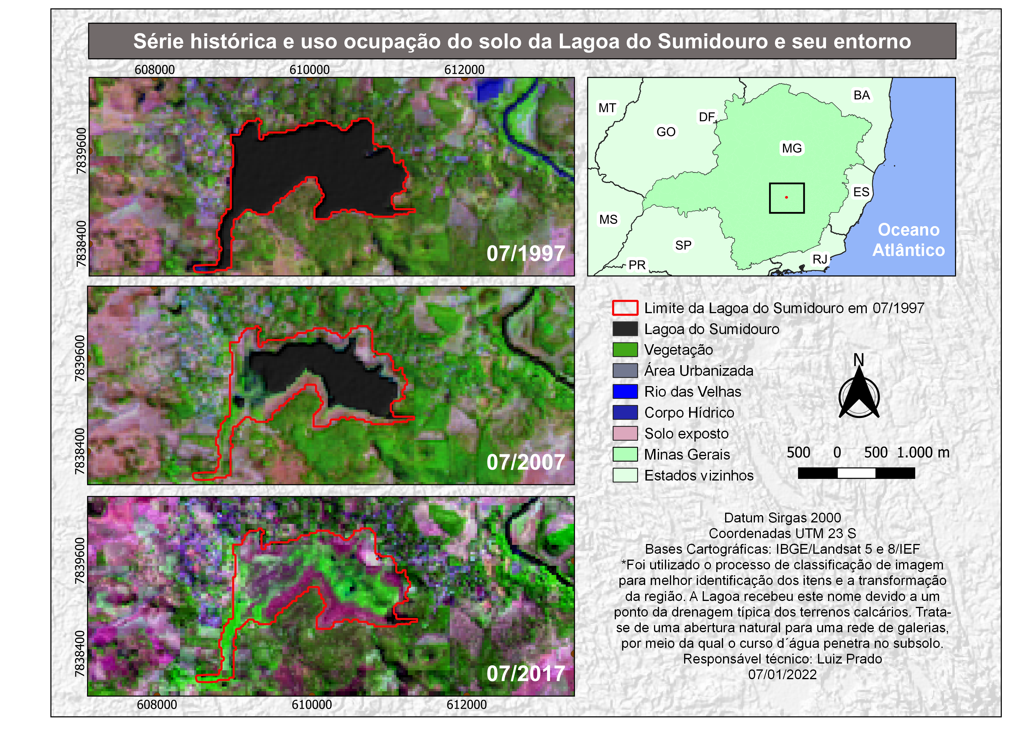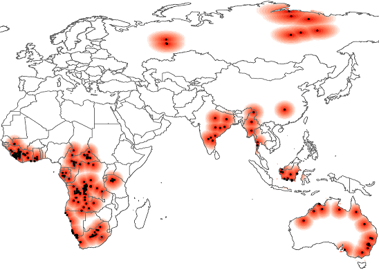
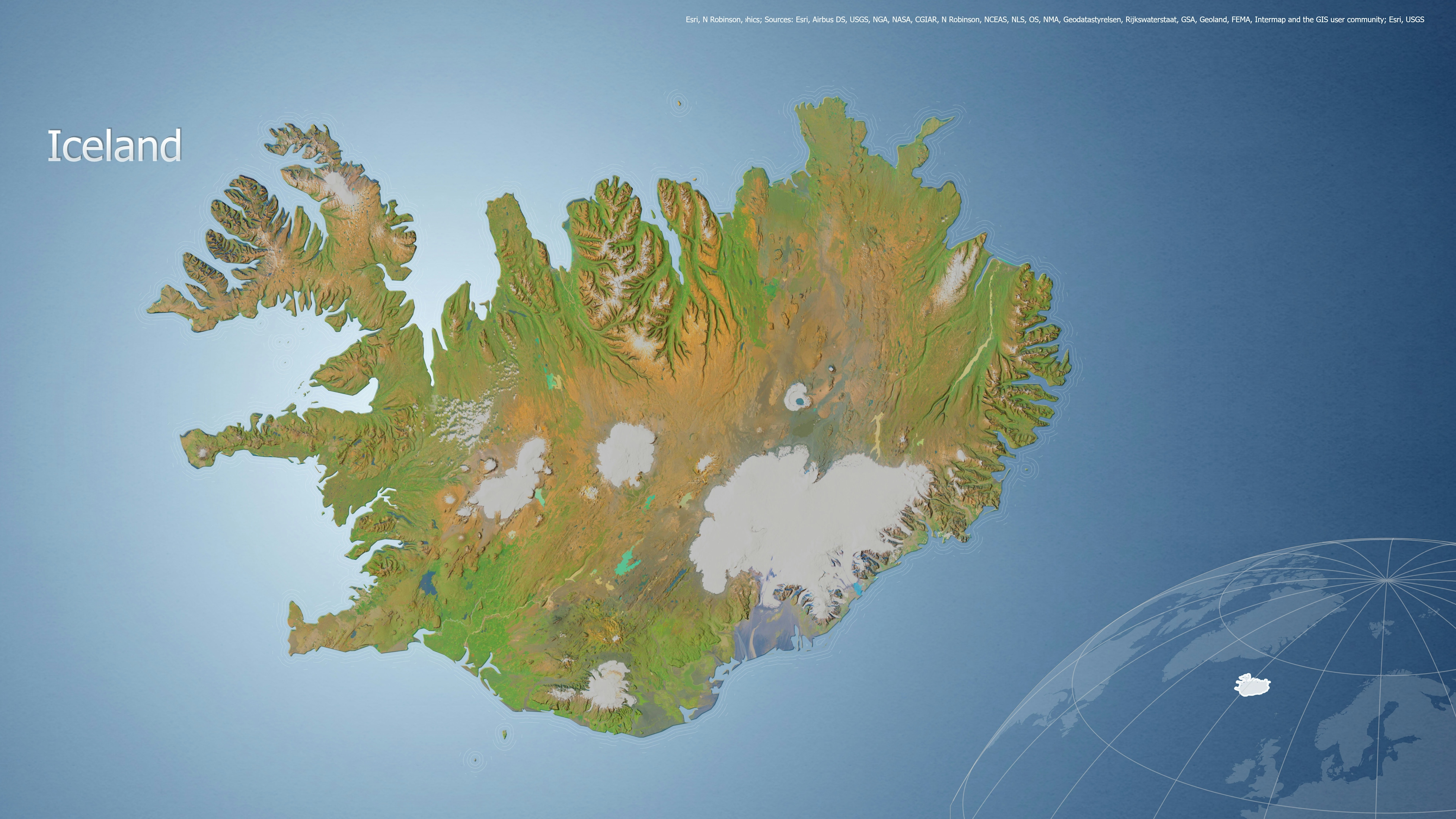
This map was produced for the Norwegian University of Science (NTNU) in 2004. It was part of a project in colaboration with the Peace Research Institute Oslo (Prio) where the aim was to study if there was a connection between natural sources of diamonds and armed conflicts.
Natural resources, and diamonds especially, are commonly believed to play a significant role in the onset and duration of armed civil conflict. Although there is ample case study evidence that diamonds and similar resources have been used by rebel groups to finance fighting, there are few systematic empirical studies assessing the role of lootable resources in civil conflict. This is largely due to lack of reliable data on production and location.
We started with a global dataset of diamond resources. These point features were grouped into multipoints based on distance and a geodetic distance raster was created.
We used ArcGIS and Visual Basic in order to automate this process.


.svg "Keran Nkongolo")