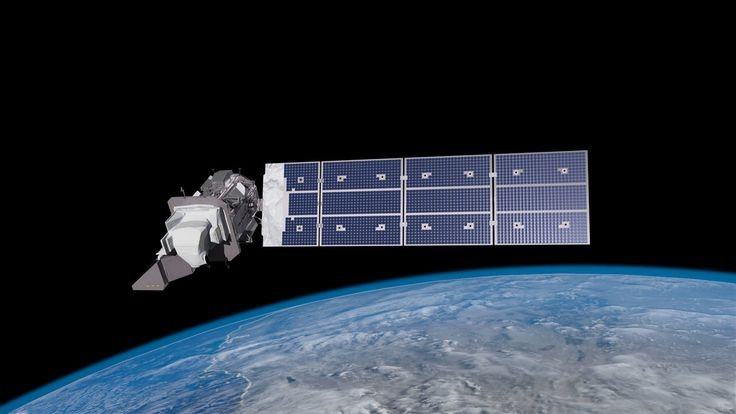

The Taifa-1 Satellite got launched on the 15th of April. The satellite was built by nine Kenya Space Agency Engineers and was launched from California using the SpaceX Falcon 9 Rocket. The incredible time, effort, and money put in by the engineers is astounding. But what does this mean for Kenya? The satellite is a 3U observational satellite, the first one launched by Kenya. From the Kenya Space Agency Web Info, this is the first of a constellation for the mission. This simply means that additional satellites are expected to be launched to join in orbit specifically for this mission. This would mean increased accuracy and detail in the information relayed back to the ground.
The tech behind the satellites is very complex and advanced, thus the successful launch of the satellite is a huge milestone for the Kenya team. This satellite whose mission target is the Kenyan territory, will be able to relay information and monitor the physical conditions in the country. The information relayed is expected to be applied to many different sectors.
Earth observation provides an easy way of monitoring natural disasters such as floods and hurricanes. This information is used for rescuing people in danger and even warning them of oncoming disasters. Applying this data saves the government a ton of money that is usually lost due to a lack of preparedness. Not to forget that satellites are also able to relay clear images of areas difficult to access, this is used in disaster response and recovery. In times of war, satellite images are able to show the degree of damage caused to different areas by explosions and fires.
Earth Observation is a crucial tool for monitoring forests and assessing deforestation that reduces the forest cover in the land. This surveillance is also extended to natural resources such as water bodies, air conditions, and land. This data can be extracted to find the degree of air pollution, water pollution, and soil moisture. Images from the satellite are able to be analyzed to get info on soil conditions or weather that are used for agriculture and to increase the food security of areas.
After data from the satellites is relayed back to the ground station, this data is combined with other geospatial analysis tools to be able to analyze and present the data in an easily understandable and visual representation of the current affair. This requires proficient GIS Engineers to carry out this process to map out accurate and easy-to-understand visual reps as well as interpret what it means for different sectors.
These 3U satellites are extremely crucial for planning, surveillance, and getting real-time information on changes that happen to the Earth. As the Taifa-1 satellite orbits around Earth, we wait for the revolutionizing of the agricultural sector, defense areas, and public administration to make better and well-informed policies on state affairs such as pollution. The Kenyan Geospatial Community is extremely excited and cannot wait to get our hands dirty with this new data tool provided.