Remote sensing technology has evolved so much that it makes it easy for someone to get the data they need. Students are the next generation who have the power of innovation and creation in various ways. Today, students are more familiar with Google Earth and Google Maps when they hear the word "map" than they think about how the system works. Such conditions are indeed a natural thing. However, by learning about remote sensing technology, students can develop a broader knowledge and perspective on remote sensing.
It is the first time that the Geography Education, University of Muhammadiyah Purwokerto, has received an offer from Zam-Zam Muhamadiyah Cilongok Islamic Boarding School (in Indonesian: Pondok Persantren Modern Zam-Zam Muhamadiyah Cilongok) to organize a remote sensing learning program. This program will last for two days and will cover both the theory and practice of remote sensing for the participating students.
Should high schools cooperate with universities in remote sensing learning?
The role of universities in the context of collaboration with high schools does need to be applied. The conditions prove that many still need remote sensing tools or geospatial devices, such as GIS (Geographic Information System). The reasons also vary. For example, many schools require more money for these tools or extra equipment maintenance. Therefore, the presence of universities can teach more advanced remote sensing to high school students. This collaborative learning is also beneficial for college students who are honing pedagogic skills that are in line with their background as teachers in the future.
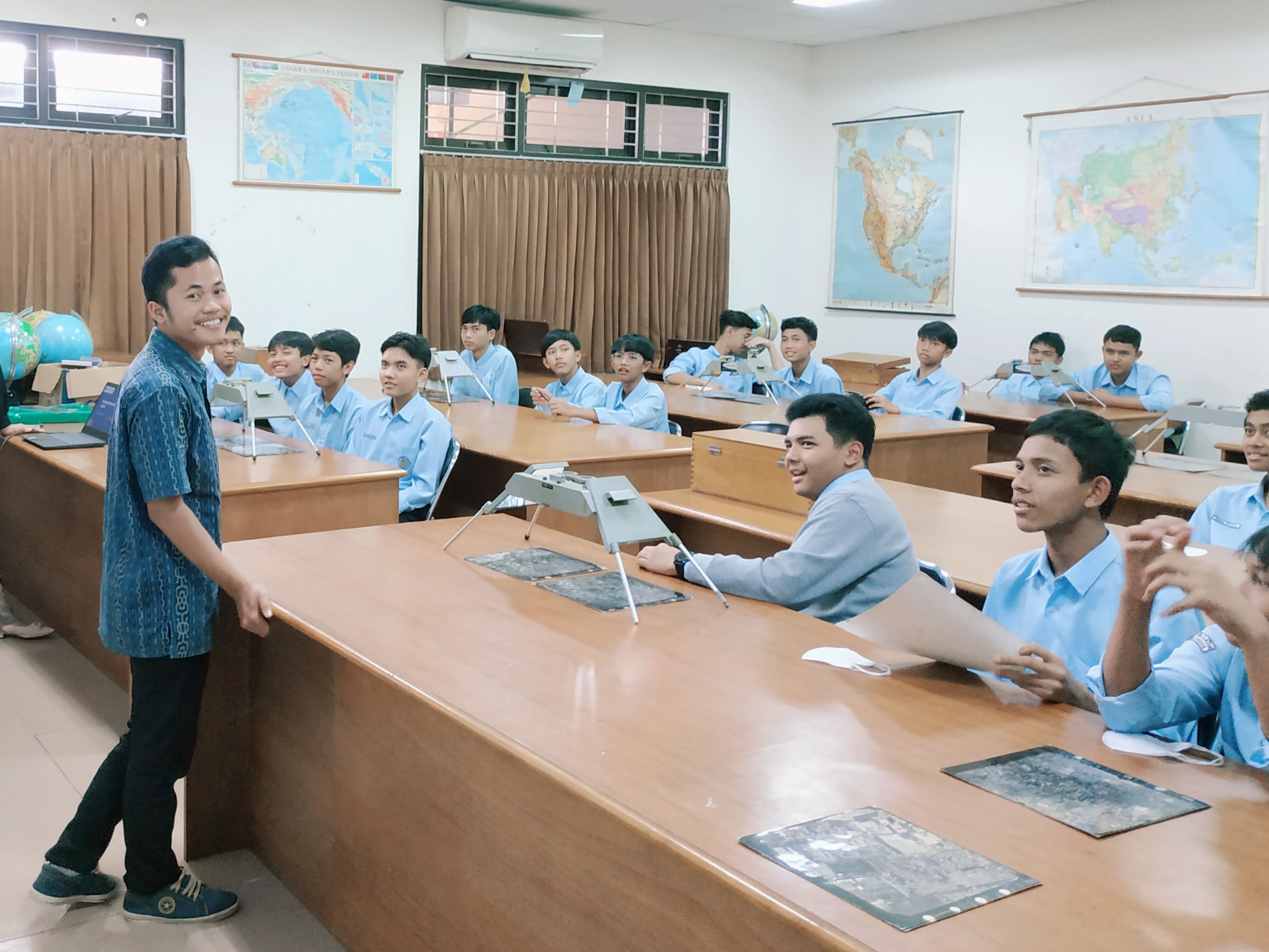
Before taking this collaborative learning, students first get material at their school. They have learned fully about remote sensing with their teachers, so when collaborating with them, they have understood about remote sensing. In learning, students introduce a remote sensing instrument, namely Stereoscope. Stereoscopes are learning tools that teachers use to improve students' understanding of remote sensing.
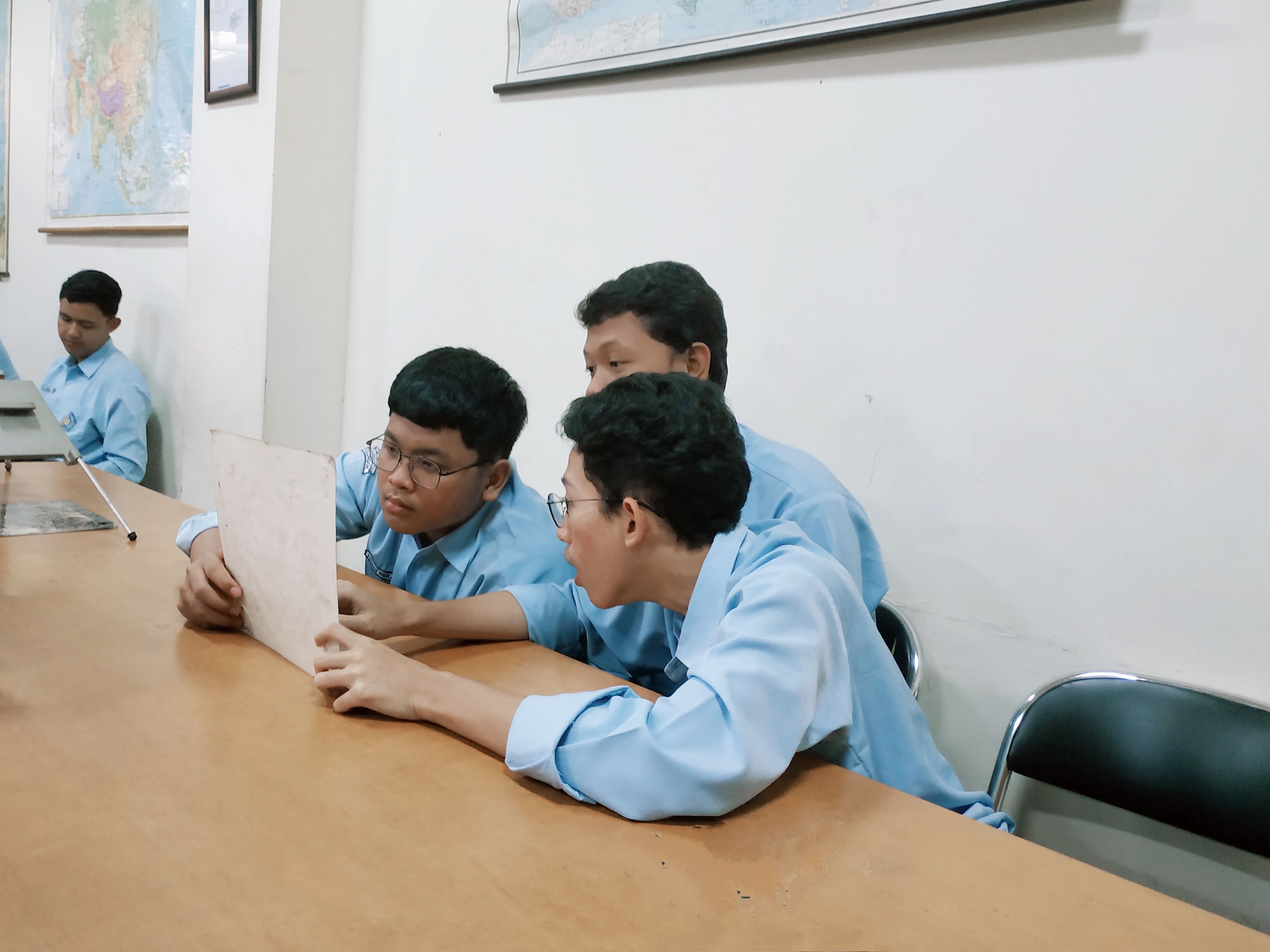
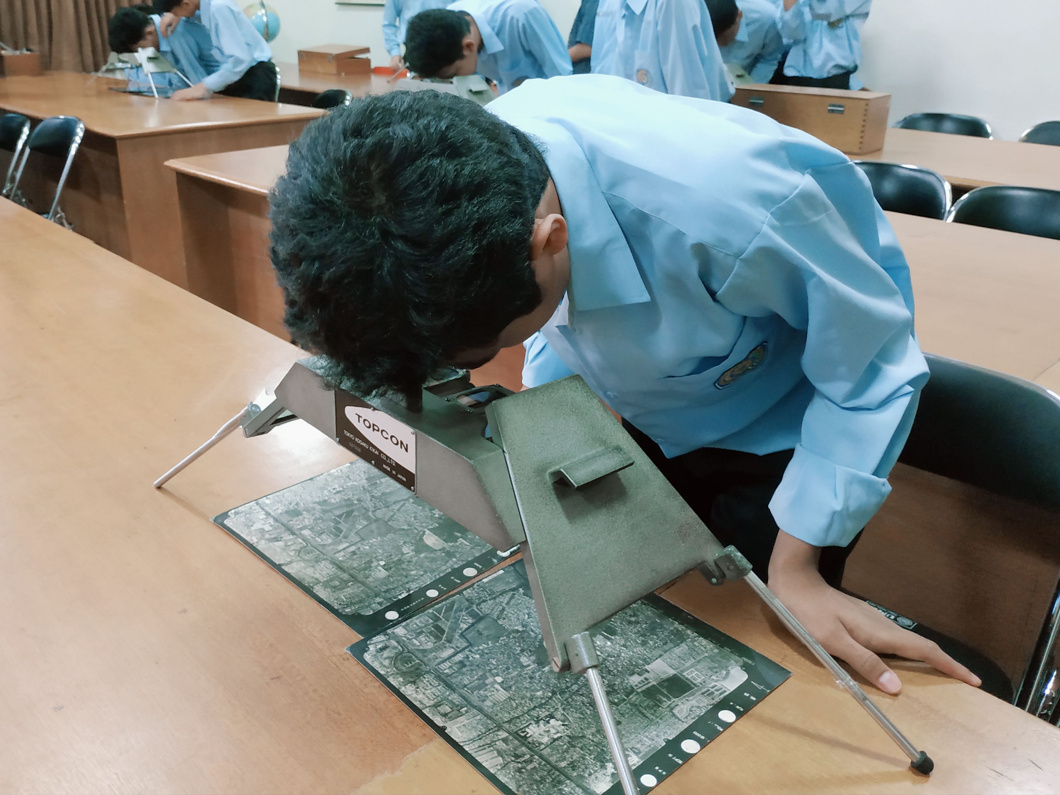
Students are required to use a Stereoscope to observe imagery. For students new to this remote sensing instrument, it can be challenging. They need to place both images in the Stereoscope for observation. Once they have successfully done this, students interpret the images and share their observation results with their peers. When students shared their observations, they explained what they found. They were able to provide detailed explanations of their findings using the Stereoscope. Their answers were unique.
"I found settlements, housing, rice fields, gardens, bare land, forests, schools, and factories." The student said aloud.
"What I found from this satellite imagery is a car stopped by the side of the road and a utility pole." The student said a little facetiously.
"If the car can observe from satellite images, why can't I find humans here?" Question from one of the students who was curious about it.
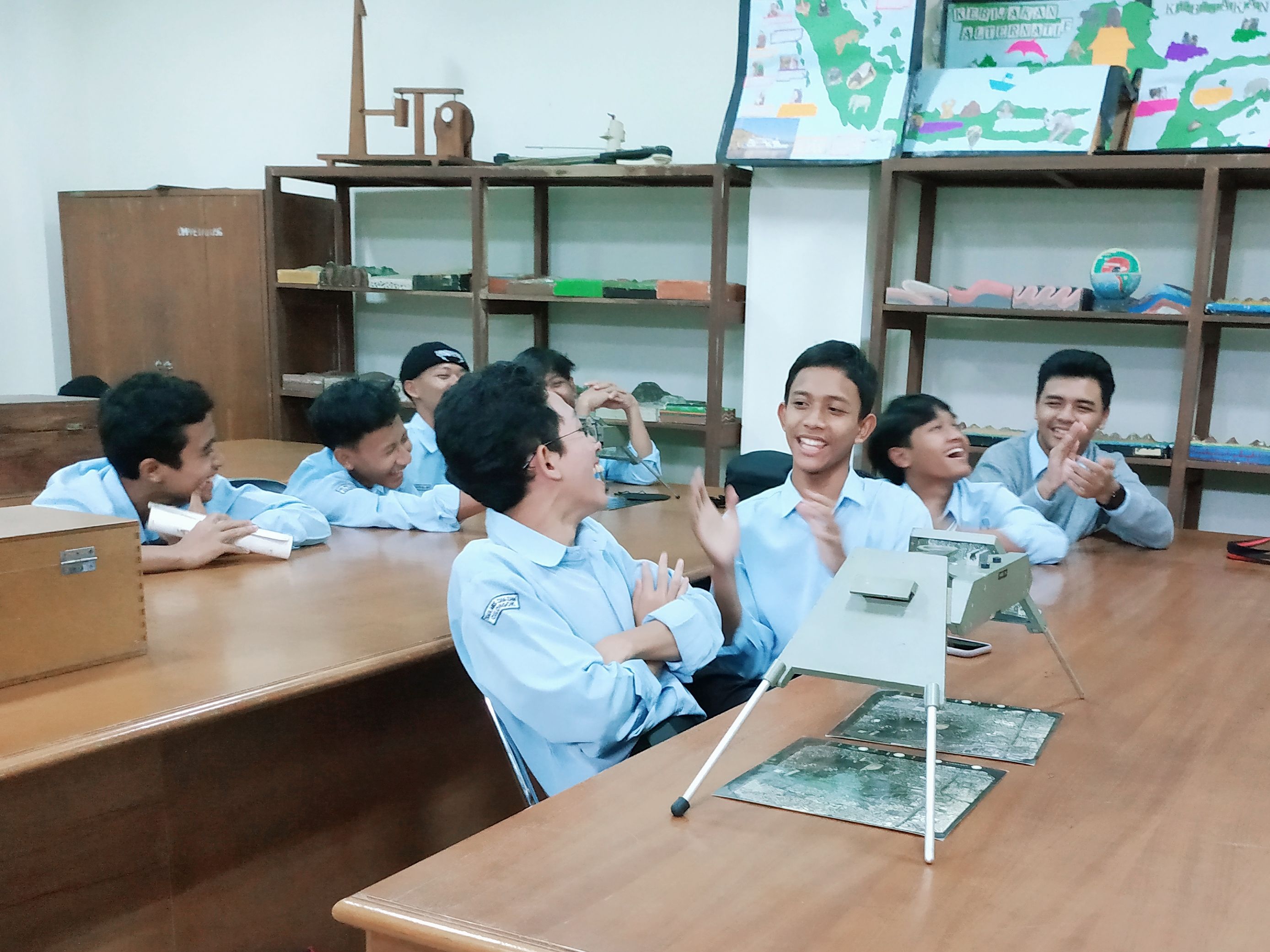
Students expressed that they enjoyed learning remote sensing. In their opinion, they have never had this kind of practice in school. Furthermore, remote sensing education aims to provide students with a comprehensive understanding, fostering enthusiasm for learning and encouraging perseverance when encountering challenges in remote sensing.
The future holds a growing demand for knowledge of remote sensing across various fields. Remote sensing plays a crucial role in providing valuable data for scientific research and industrial applications, making it essential for spatial and mapping analysts to make informed decisions. Recognizing this importance, it is imperative for students to be introduced to remote sensing early on in their academic journey to equip them with the necessary skills and knowledge. By familiarizing themselves with remote sensing techniques, students can effectively contribute to the advancement of science and industry in the future. Moreover, collaborations between academia, industry, and government agencies can further enhance the learning experience by providing students with real-world projects and internships.