

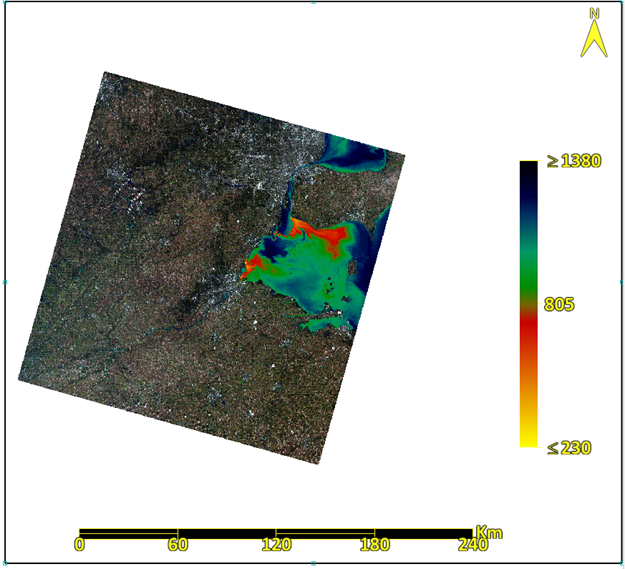
This in-class project allowed me to manipulate raster data and use terrain analysis.
Avalanche Risk Around Mt. Baker Ski Area
Tools used
ArcGIS Pro
Plug-ins used
TerrainAnalysisPro
tags
Natural DisasterRisk Assessment
More by Drew S


You might also like


![Lexical Map of [Shovel] in Malay Lang](/_next/image?url=https%3A%2F%2Fstorage.googleapis.com%2Fspatialnodefiles%2Fprojects%2FPetaDialekCangkul1_9000385.png&w=3840&q=100)


Join the community!
We're a place where geospatial professionals showcase their works and discover opportunities.