

AMUGA is the Ivorian authority in charge of transport regulation in the Grand-Abidjan area.
This organisation is working on the project of mapping conventional and non-conventional transport in Abidjan. This project was launched in September 2019 by the Ministry of Transport of Côte d'Ivoire with the help of AFD funding in its DigitalTransport4Africa initiative.
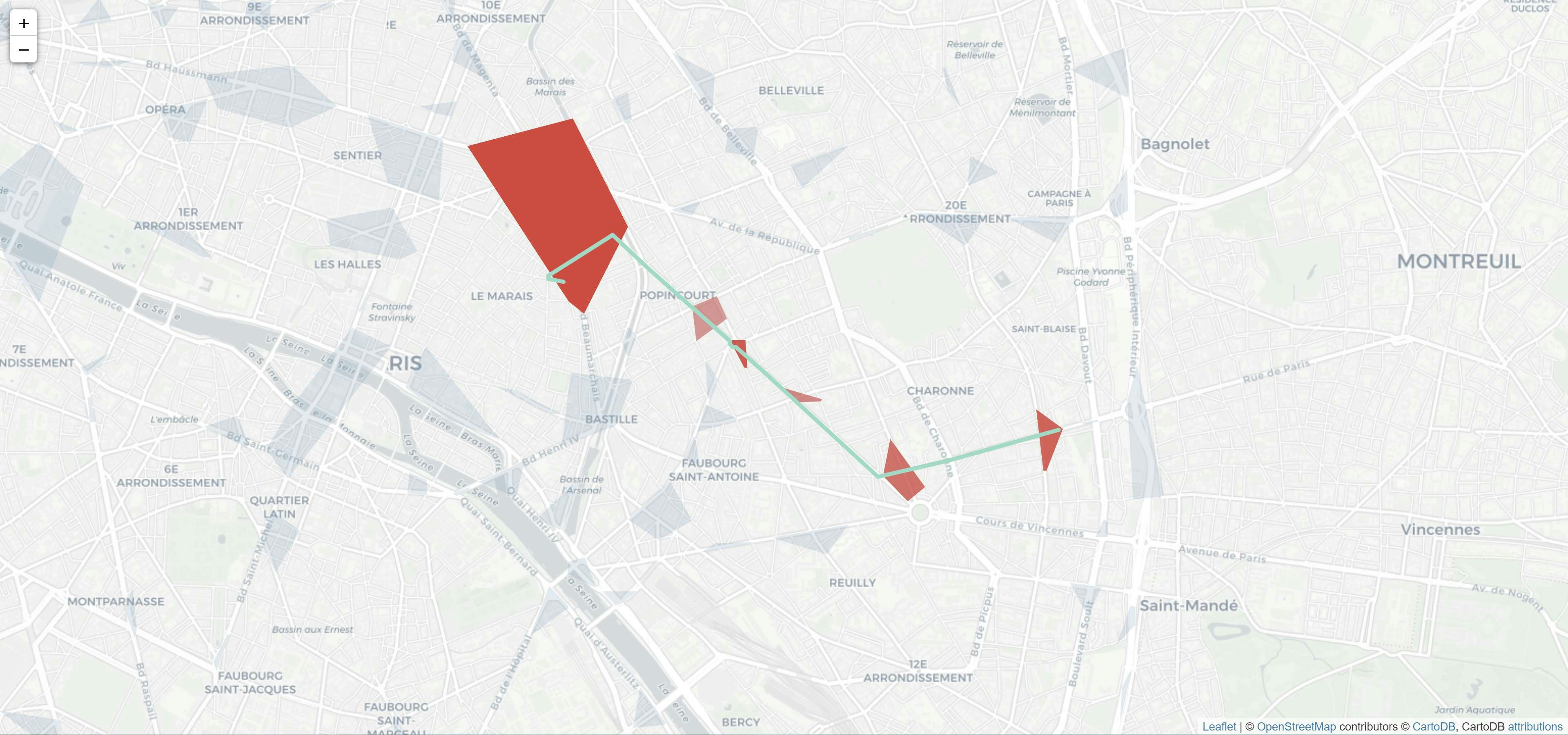
As such, the data is completely open source and free to use. We used them to make an analysis by network and provided transport maps for the Bus, Gbaka and Woro-woro networks.
We took the opportunity to put our maps in an S3 bucket, whose objects are made public and accessible from anywhere with an internet connection.
Description : https://amuga-cartography.s3.eu-west-3.amazonaws.com/Description.png
Bus network map : https://amuga-cartography.s3.eu-west-3.amazonaws.com/BusNetwork.png
Gbaka network map : https://amuga-cartography.s3.eu-west-3.amazonaws.com/GbakaNetwork.png
Woro-wor network map : https://amuga-cartography.s3.eu-west-3.amazonaws.com/WoroworoNetwork.png
Tools: pandas & geopandas (python), QGIS, AWS S3.


