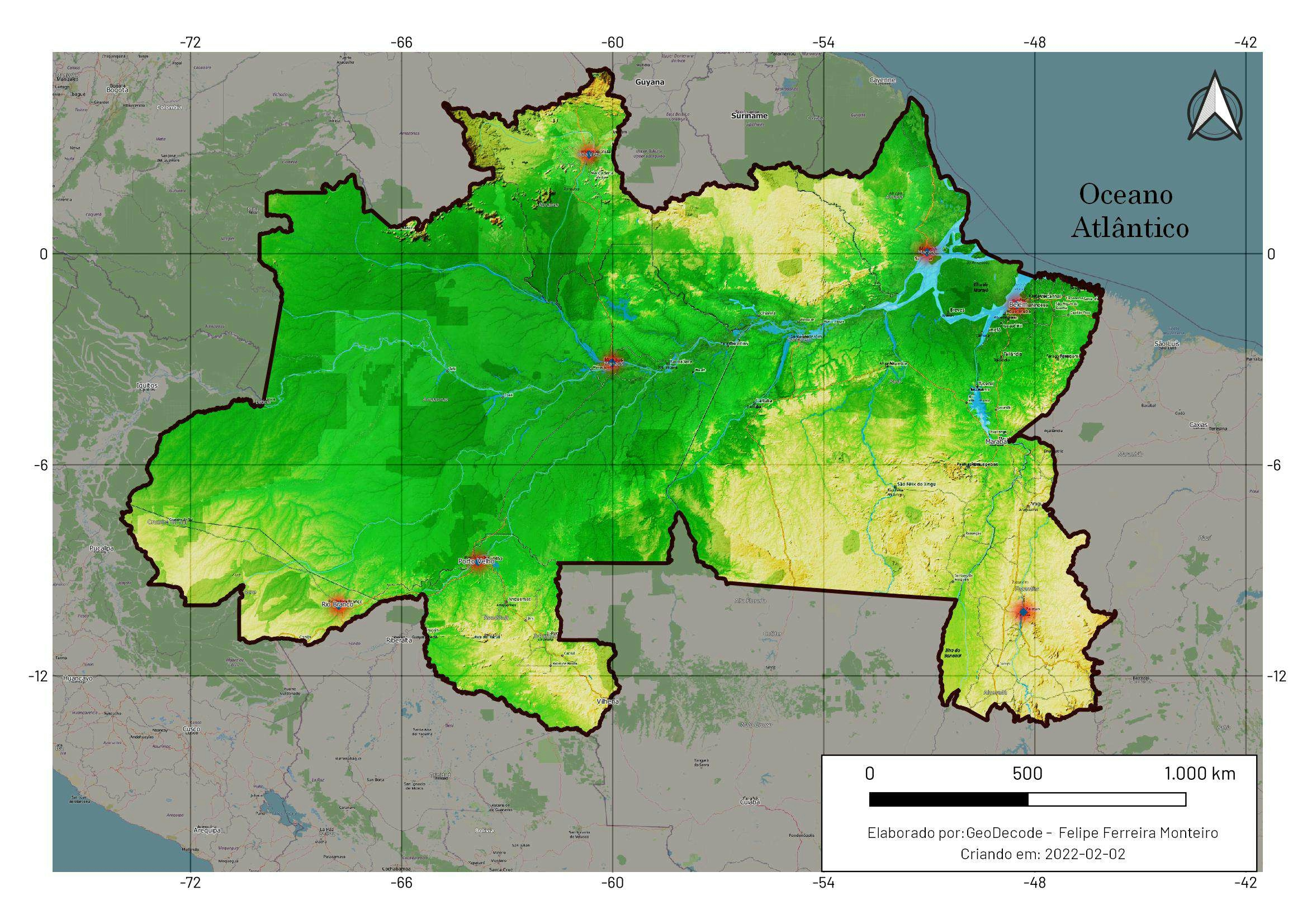
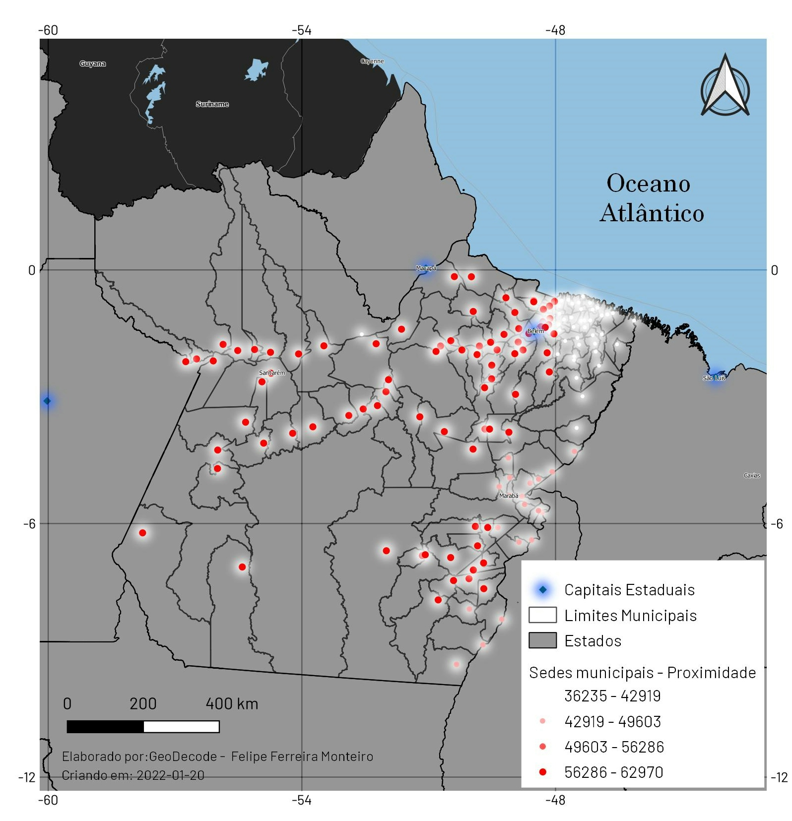
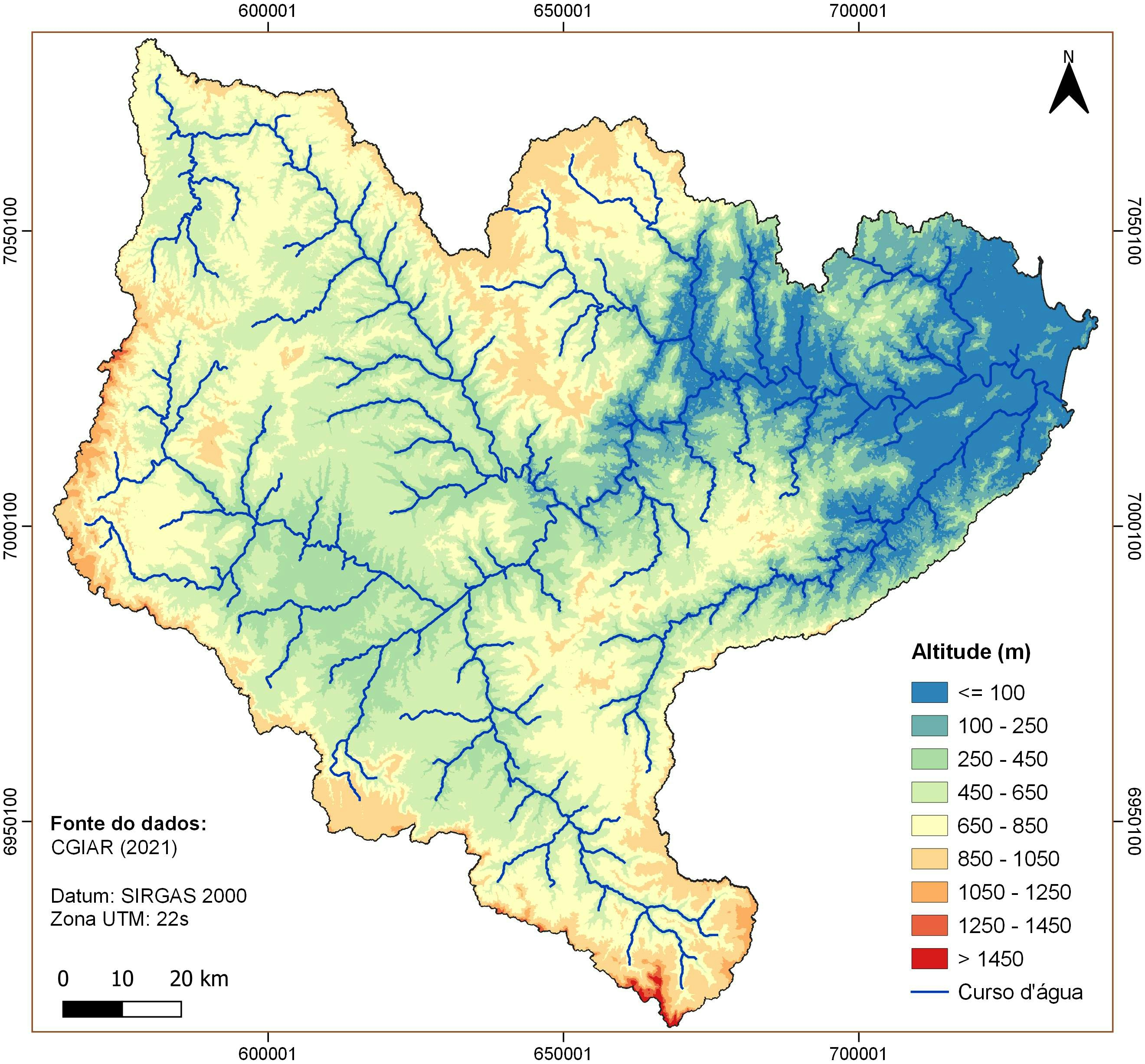
Região Norte do Brasil - Relevo

Tools used
OpenStreetMapQGISsrtm
Plug-ins used
QGIS
tags
áreas verdesrelevo
More by Felipe Ferreira Monteiro
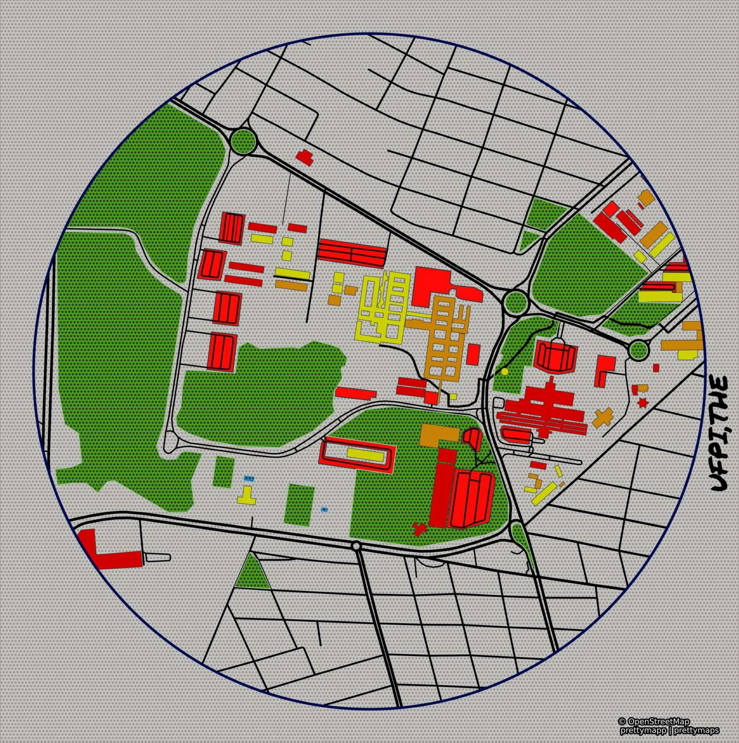

You might also like


Join the community!
We're a place where geospatial professionals showcase their works and discover opportunities.