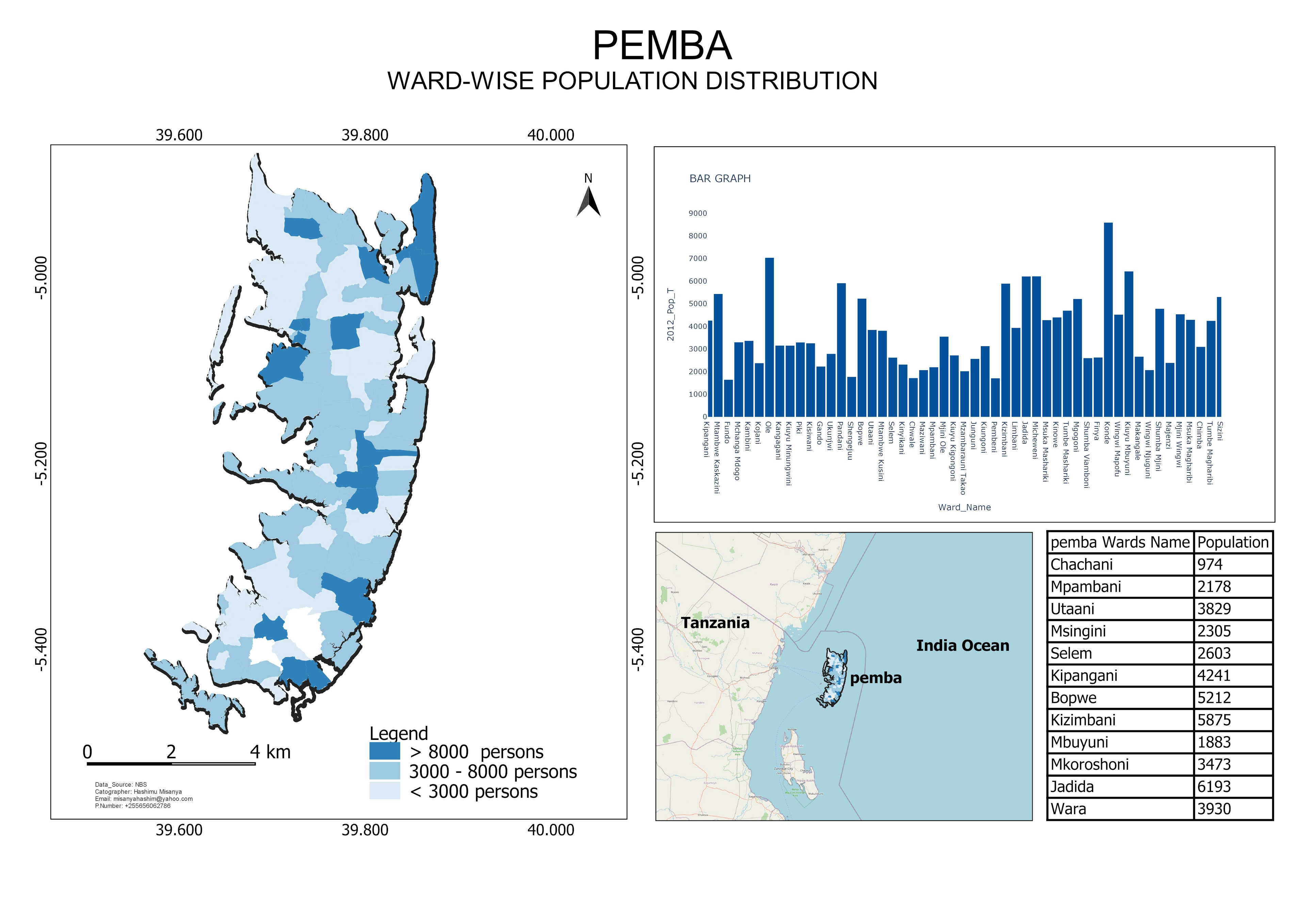
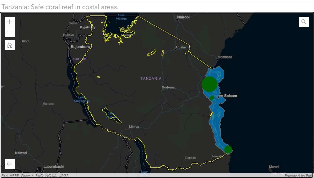
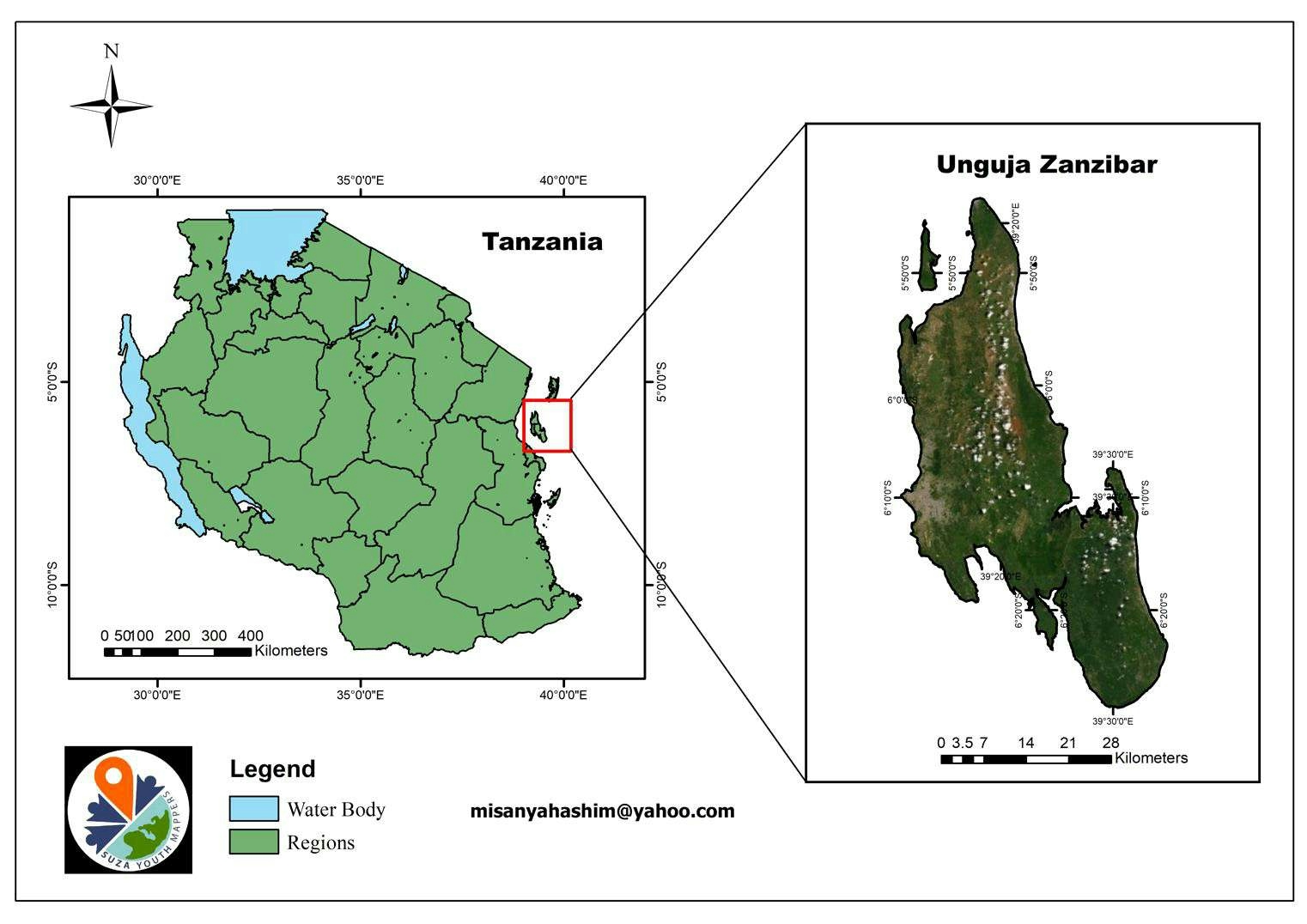
Zanzibar Foresties


Tools used
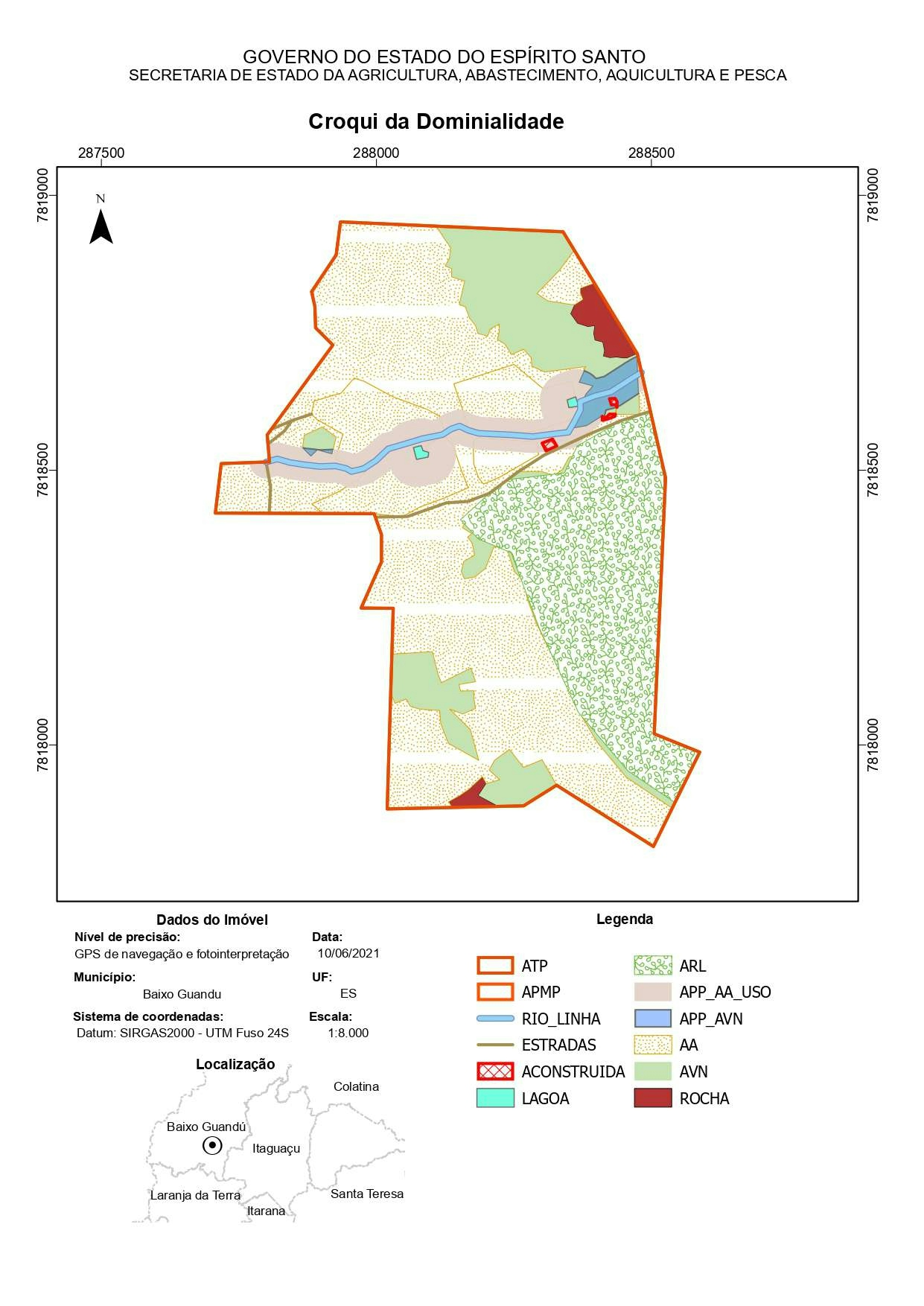
ArcMap
tags
CartographyEsri
More by Hashimu Misanya


You might also like


.svg "Keran Nkongolo")


Join the community!
We're a place where geospatial professionals showcase their works and discover opportunities.
Zanzibar Foresties
More by Hashimu Misanya
You might also like
We're a place where geospatial professionals showcase their works and discover opportunities.