This is a pretty extensive cartographic product that I released in April of 2022 after having iterated on my first scuba maps that I made in 2016 shortly after getting open water certified at San Carlos Beach (page 3).
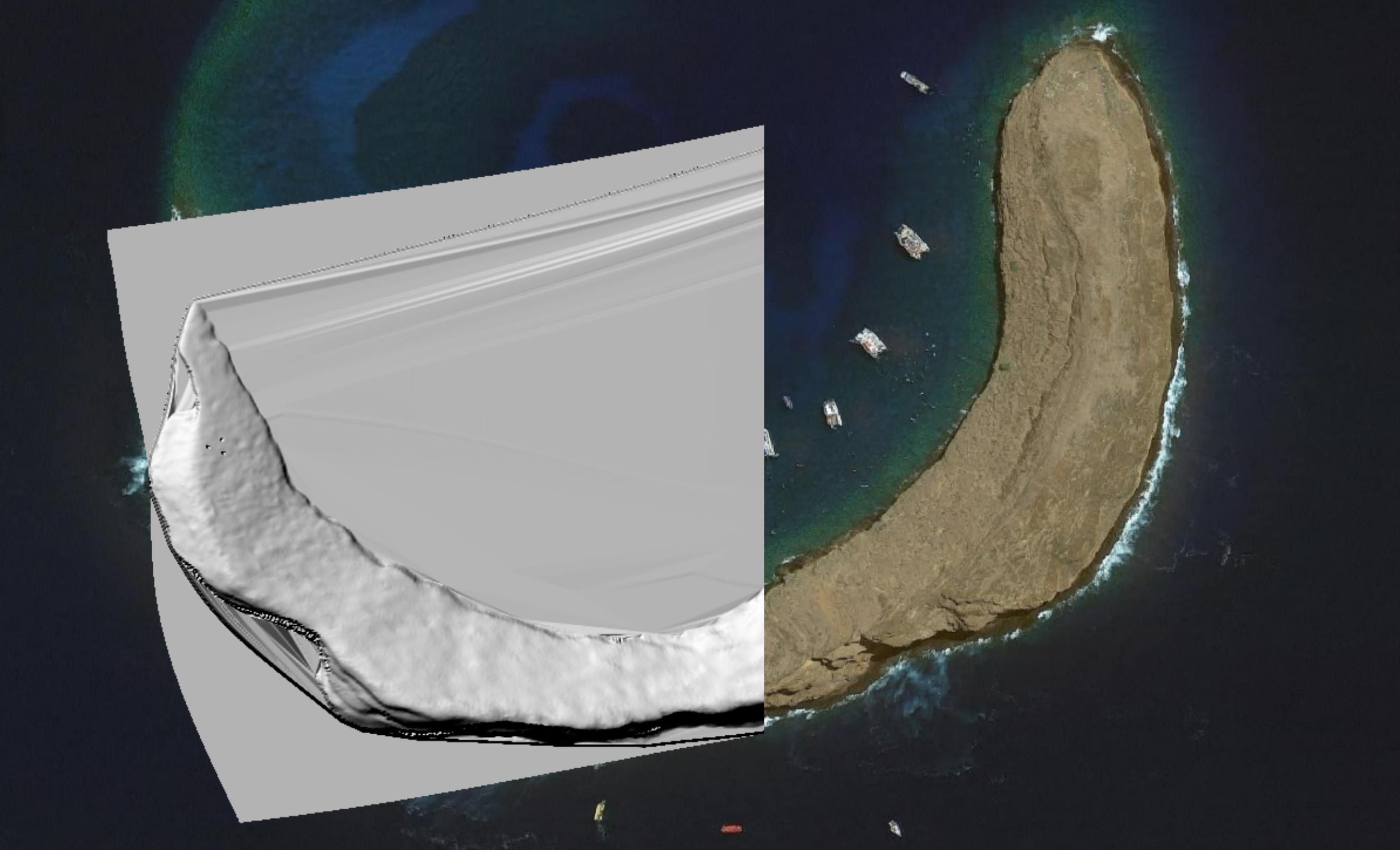
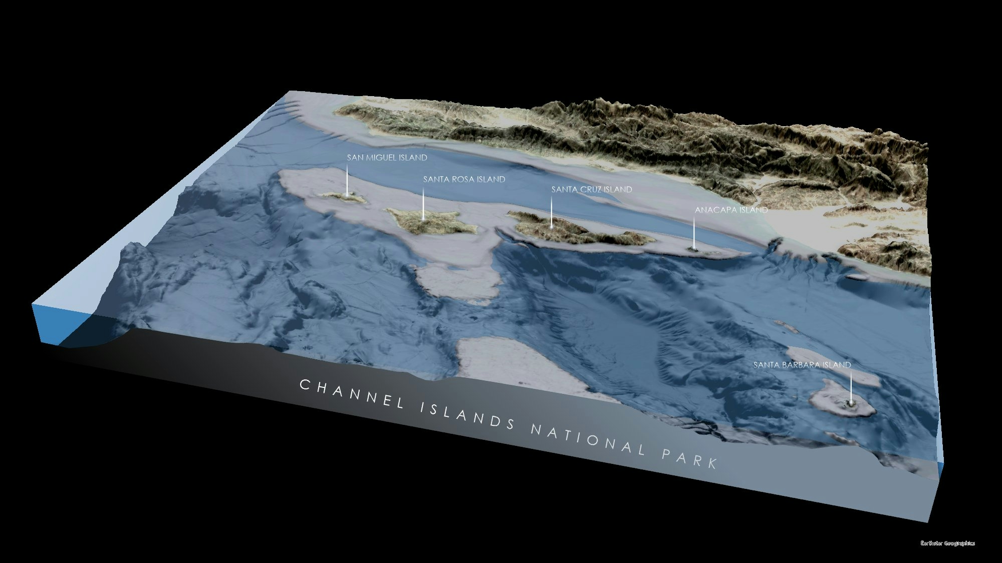
The real innovation here is that I used terrain data from CSU Monterey Bay Seafloor Mapping Lab which allowed me to create a hill shade basemap that had vastly more detail than anything that was publicly available elsewhere.
I took USGS LiDAR data and converted them to DEMs and then resized and merged this data set with bathymetry collected from multibeam sonar into a single continuous DEM. To smooth out transitions I exported the raster into GIMP, airbrushed it and then exported it with the same resolution so that the .WLD file still worked. I then used the QGIS Raster Calculator to restore the appropriate range of values. Today I'd probably just use the Serval plugin to do this in QGIS because it would be much easier to do.
Then I added contour lines, the Marine Protected Area boundaries, points of interest and important features. I exported the layouts to Inkscape where I added the labels, the text and some finishing details. I exported all of the pages to a PDF and had them professionally printed. I've sold out my 250 copies to Bay Area dive shops and I released my Vol II issue in December of 2022.