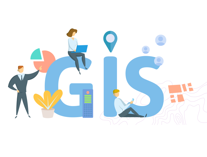

In today's world, data is everywhere, especially when it comes to location information. Whether it's guiding self-driving cars with satellite images or transforming construction through LiDAR mapping, the geospatial industry is thriving. This boom offers exciting opportunities for those who enjoy thinking spatially and have a passion for exploration. If you're captivated by maps, data, and the stories etched into the very fabric of our planet, consider embarking on one of these five thrilling geospatial career paths in 2024 and beyond:
1. Geospatial Data Analyst
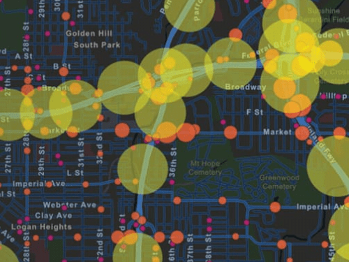
Derive valuable insights by Analysing both geospatial and non-geospatial data, exploring relationships event within specific locations.
Utilize satellite imagery analysis to make informed and critical decisions in vital sectors such as disaster response, urban planning, and precision agriculture
Demand: Projected 13% job growth by 2030, outpacing the national average.
Median Salary: Over $70,000 for experienced analysts.
Resources:
GIS Training Institute:https://www.gisti.org/
QGIS: https://www.youtube.com/playlist?list=PL1X-z8zFPw6p3GdNv7MN7HYCJhhs753qa
ESRI Learning Center:https://www.esri.com/training/
Udacity GIS Nanodegree:https://www.coursera.org/specializations/gis-mapping-spatial-analysis
2. Location Intelligence Specialist
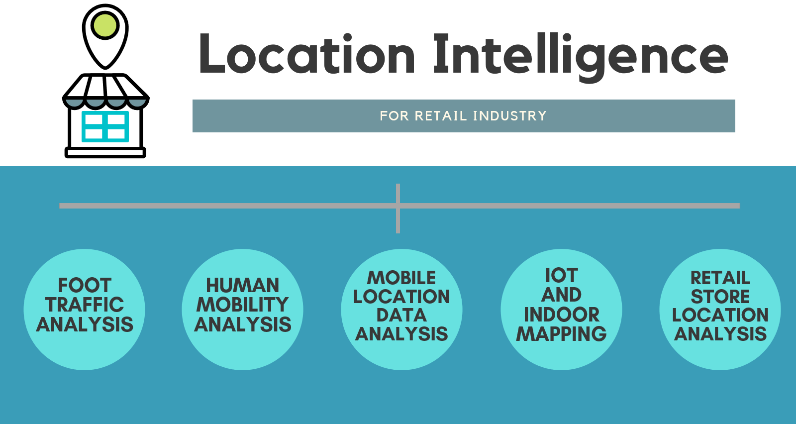
Transform location data into actionable insights, shaping the future of marketing, retail, and public health.
Leverage your expertise in spatial databases and data visualization to unlock the power of location.
Demand: Market size expected to reach $26.8 billion by 2027.
Median Salary: Six figures for senior specialists.
Resources:
Location Intelligence World:https://www.geospatialworld.net/prime/technology-and-innovation/location-intelligence-present-and-future/
Spatial Business Intelligence Association:https://spatialbi.biz/
Location Intelligence Enriches Business Education: https://www.youtube.com/watch?v=GNxA-l792No
GEOG 850Location Intelligence for Business:https://www.e-education.psu.edu/geog850/node/412
3. Drone Pilot and Mapping Specialist

Soar above the ground, capturing high-resolution aerial imagery and LiDAR data.
Craft 3D models and topographic maps, revolutionizing infrastructure inspection, precision agriculture, and archaeology.
Demand: Over 7 million drones expected to be registered in the U.S. by 2025.
Median Salary: $113,730 for drone pilots by 2026, $70,000+ for mapping specialists.
Resources:
Federal Aviation Administration Drone Regulations:https://www.faa.gov/uas/getting_started
DroneDeploy Academy:https://www.dronedeploy.com/resources/academy
Esri Drone2Map for ArcGIS:https://www.esri.com/en-us/arcgis/products/arcgis-drone2map/overview
4. Geospatial Software Developer
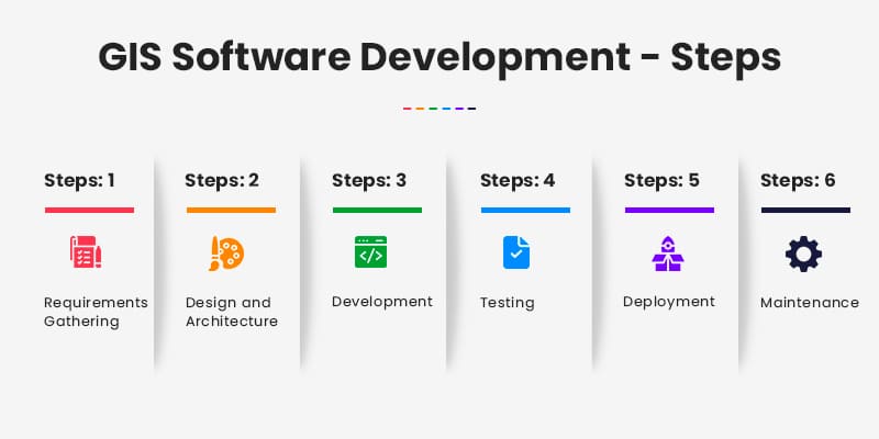
Build the tools that power the geospatial revolution, from custom analysis platforms to AI-powered mapping applications.
Your programming skills and understanding of spatial data structures will be invaluable.
Demand: 15% job growth projected by 2029.
Median Salary: $100,000+ with strong career advancement opportunities.
Resources:
GIS Development Institute:https://www.gisplanning.com/
ArcGIS for Developers:https://developers.arcgis.com/
Web GIS development course: https://www.udemy.com/course/complete-web-gis-development-course/
Complete course on Web Mapping Application Development: https://www.youtube.com/watch?v=YGak-5dCvHM
5. Environmental Geospatial Analyst
Become a champion for our planet, using geospatial tools to monitor deforestation, track pollution levels, and model the effects of climate change.
Your expertise in remote sensing and spatial analysis will shape environmental policies and inform sustainable development practices.
Demand: 7% job growth projected for environmental scientists and specialists by 2030.
Median Salary: $80,000+ for experienced analysts.
Resources:
GIS in Climate Change Adaptation:https://www.esri.com/en-us/about/climate-action/overview
Google Earth Engine: https://earthengine.google.com/
NASA Earth Observatory:https://earthobservatory.nasa.gov/
If You have links to resources that someone can learn from, kindly share them in the comment session
Remember, this is just the tip of the iceberg. The geospatial industry is a dynamic landscape, constantly evolving with new technologies and applications. Second PArt of this series will be diving in the tools used by this different people.
cheers🥰😍😍😍