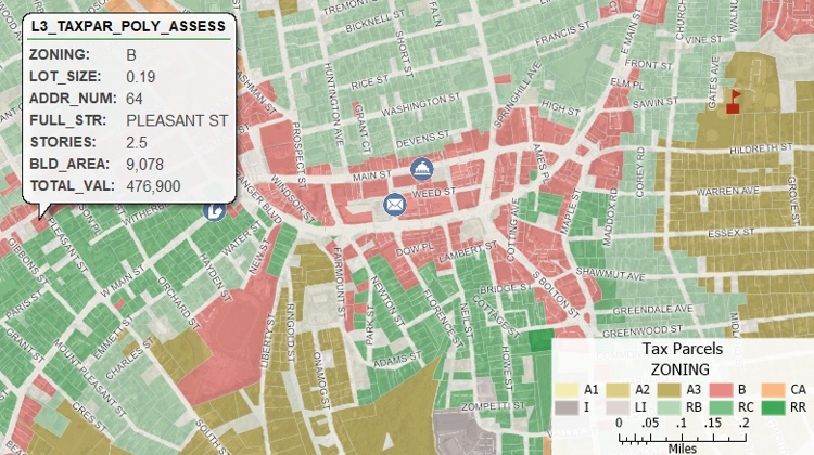
This is an article about geographic information system (GIS) software for municipal governments. It discusses what GIS is and how it is used in local government. The article also details the benefits of using GIS software. Some of the important points from this website are that Maptitude is a cost-effective and easy-to-use GIS solution that can be used for a variety of tasks, including mapping, data analysis, and planning.
Published at: GIS Software for Municipal Government