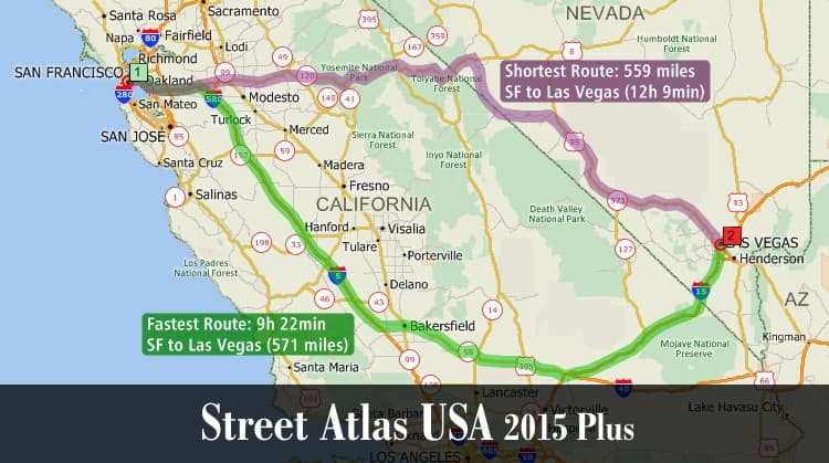
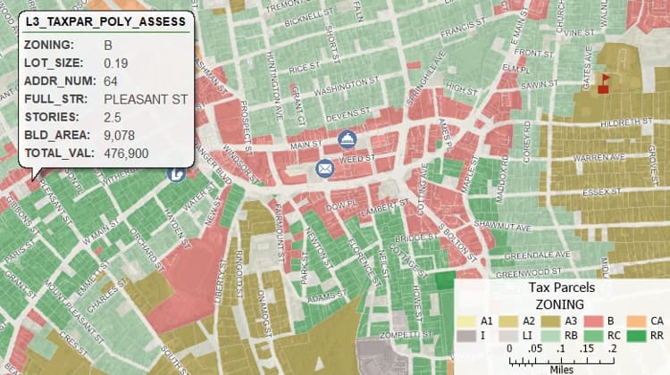
This is an article about a comprehensive guide to the top 5 online tools for creating interactive maps, highlighting their unique features and ideal use cases. It covers the data visualization capabilities of Maptitude, ArcGIS Online’s advanced geospatial tools, Carto’s user-friendly design, Mapbox’s customization options for developers, and Zeemaps’ affordability. Additionally, it explores common types of interactive maps used in media and society, such as weather, traffic, and political maps, and emphasizes the importance of choosing the right tool based on specific needs like audience, expertise, and budget.
Published at: 5 Best Online Tools to Create an Interactive Map



.jpeg&w=3840&q=75)
