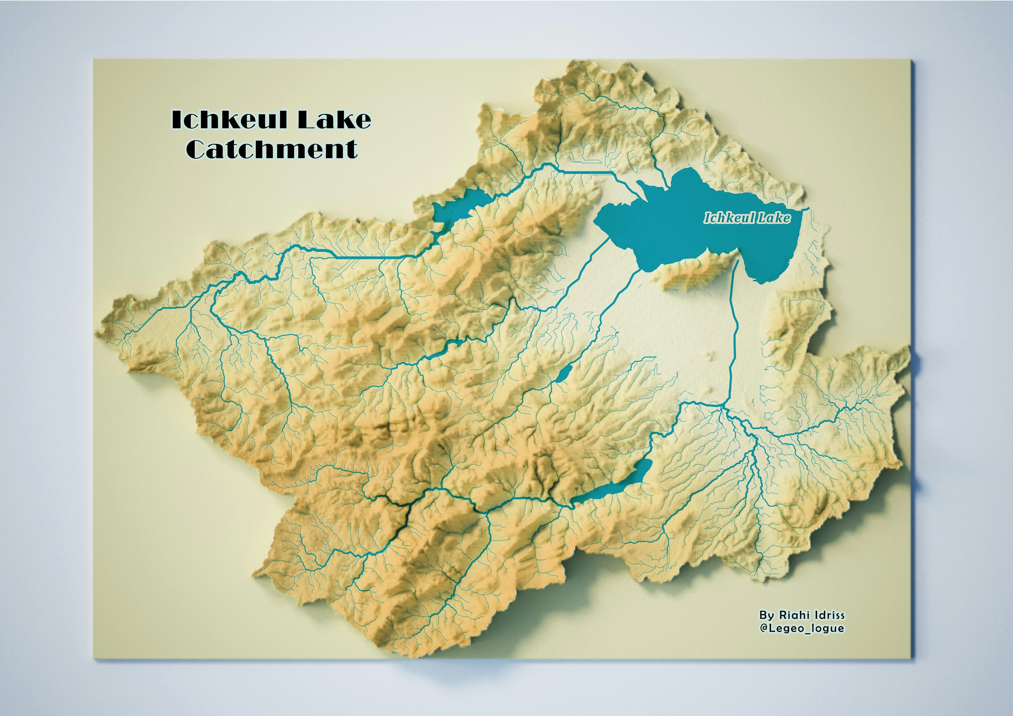
Sign up or log in to your Spatialnode account.

Takes less than a few seconds.

Ichkeul catchment

Idriss Riahi
Idriss Riahi•

September 22, 2023

Ichkeul catchment

Plug-ins used

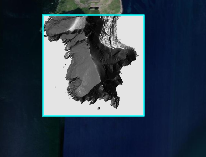
Copernicus Global DSM 30m

tags

GISQGIS

More by Idriss Riahi

Map of the Medjerda River Basin
212

You might also like

Evolution spatio-temporelle de la ville de dakar depuis 1983, 1945 à 2020
IVES MALONGO KOKINAMBILI
Evolution spatio-temporelle de la ville de dakar depuis 1983, 1945...
IVES MALONGO KOKINAMBILI
134
Oil Spills Using GIS and Remote Sensing
Mercy Onaopemipo Akintola
Oil Spills Using GIS and Remote Sensing
Mercy Onaopemipo Akintola
68
2022 Montana Pasture Dollar Per Acre
Keran Nkongolo
2022 Montana Pasture Dollar Per Acre
Keran NkongoloPro
16
Kenya Shaded Relief Map
Atieno Owino
Kenya Shaded Relief Map
Atieno Owino
51
DIVISÃO POLITCA DO ZAÍRE
Raduel Fernando da Fonseca
DIVISÃO POLITCA DO ZAÍRE
Raduel Fernando...
27
Localização da Bacia do Rio Tamanduateí
Cristiane Sant'ana Galvão
Localização da Bacia do Rio Tamanduateí
Cristiane Sant'ana Galvão
11
Spatiotemporal Aggregation of Hot Spots
Emily Colgan
Spatiotemporal Aggregation of Hot Spots
Emily Colgan
10
Sea Level Rise in New York City
Derek R Schiavone
Sea Level Rise in New York City
Derek R Schiavone
186
Sampling Location on Heavy metals study
omoogun bankole
Sampling Location on Heavy metals study
omoogun bankole
4
Estudo de dados pluviométricos do MRJ
Dennis A. Britto
Estudo de dados pluviométricos do MRJ
Dennis A. Britto
13
Mapa de localização
jucelino dos santos
Mapa de localização
jucelino dos santos
5
Área da Intervenção Pinheiros
Matheus Amaral Prates
Área da Intervenção Pinheiros
Matheus Amaral Prates
7

Join the community!

We're a place where geospatial professionals showcase their works and discover opportunities.

Sign Up for free