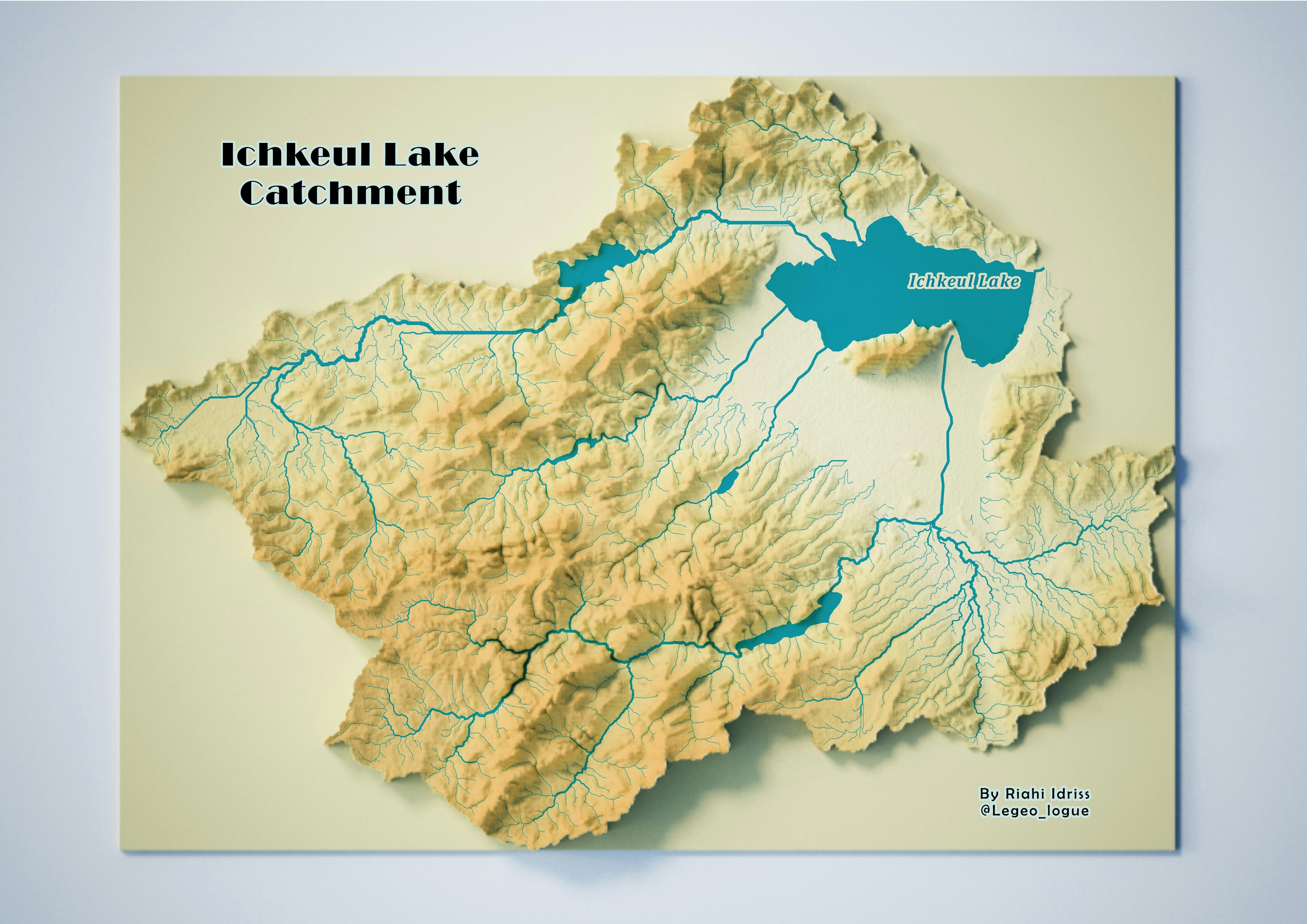
The Mejerda River is a major waterway that flows through Tunisia and Algeria, and is one of the largest rivers in North Africa. With a total length of approximately 450 kilometers, it plays a significant role in the economic, social, and ecological systems of the region.
The river is an important source of water for irrigation, industrial activities, and energy production, and has been a vital component of the region's development for centuries.
Moreover, the Mejerda
River basin supports a rich biodiversity of flora and fauna, making it a
critical area for conservation efforts. The Mejerda River is therefore of great
importance to the people and the environment of North Africa, and remains a
subject of ongoing research and management