
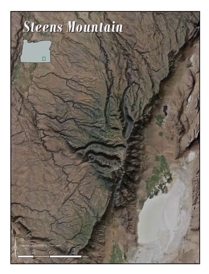
Prepared as an exercise for graduate coursework in GIS at Portland State University. Objective of assignment was to mash satellite imagery and DEMs to demonstrate the terrain extremes of the Steen's Mountain area. This was a result of primarily manipulating and overlaying rasters with ArcGIS Pro tools, then finessing with Adobe Illustrator.
Imagery - Steen's Mountain
Tools used
Adobe IllustratorArcGIS Pro
tags
ArcGIS ProDEMRaster
More by Sherri Michl
You might also like


Join the community!
We're a place where geospatial professionals showcase their works and discover opportunities.