

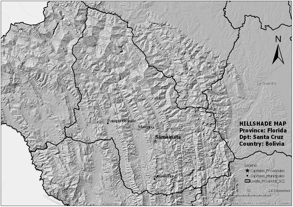
Custom map for a friend who teaches High School Spanish. His request was to show geographic features and boundaries. The map was designed to be printed and displayed on the classroom wall. It doesn't come across well in digital format.
South America
Tools used
GIMPRASTER PROCESSING
Plug-ins used
Raster Functions
tags
DEM
More by Timothy Brink


You might also like


Join the community!
We're a place where geospatial professionals showcase their works and discover opportunities.