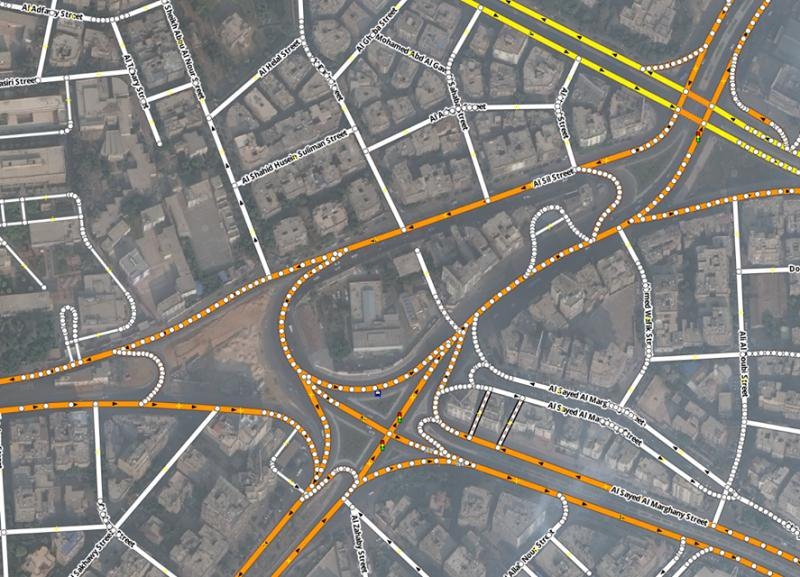
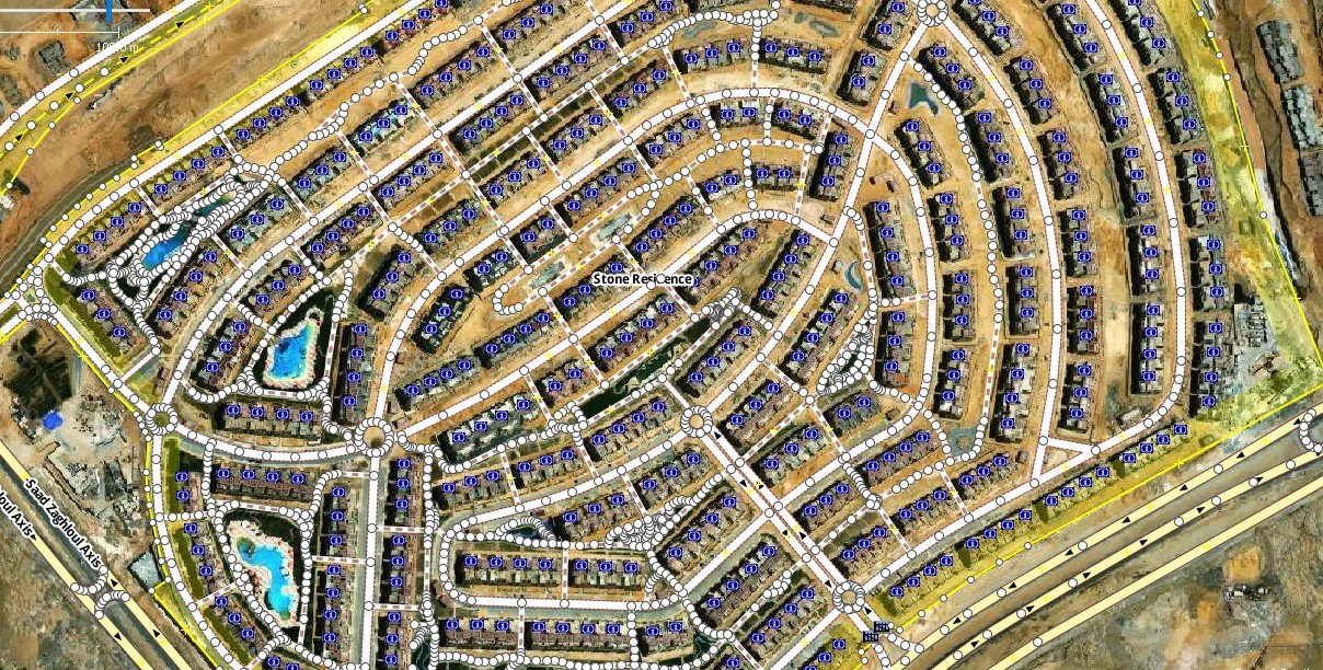
Architected GIS data of Structural plans for the administrative regions within the Kingdom of Saudi Arabia using
data to create maps.
Converted AutoCAD engineering drawings, georeferenced, edited, and digitized spatial data.
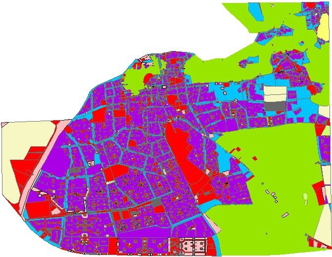
Taif-Al Bahita
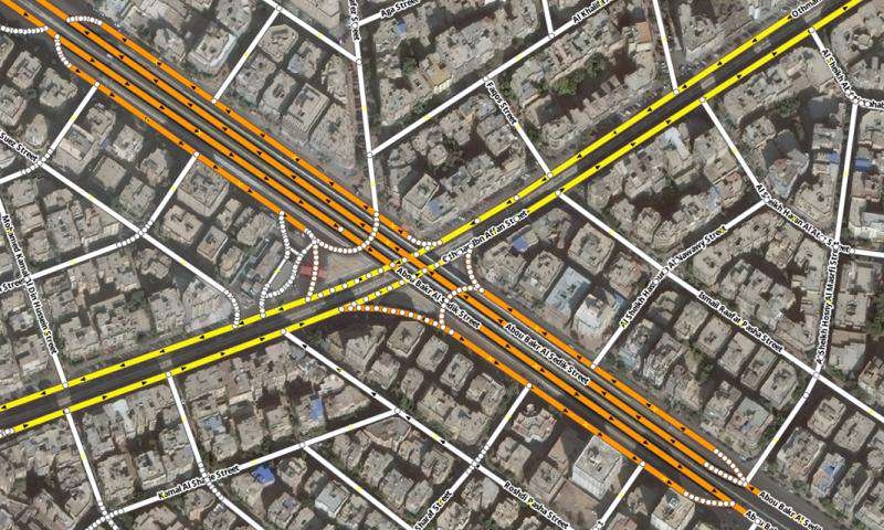
Architected GIS data of Structural plans for the administrative regions within the Kingdom of Saudi Arabia using
data to create maps.
Converted AutoCAD engineering drawings, georeferenced, edited, and digitized spatial data.
More by Mohamed Gamal Hassan Mahmoud
You might also like
We're a place where geospatial professionals showcase their works and discover opportunities.