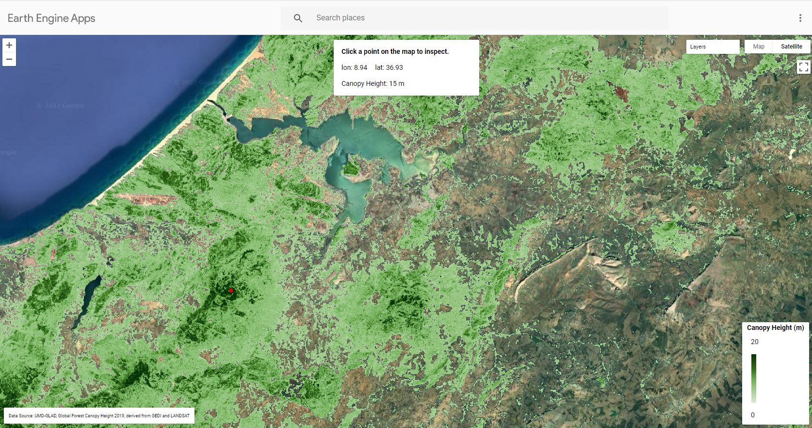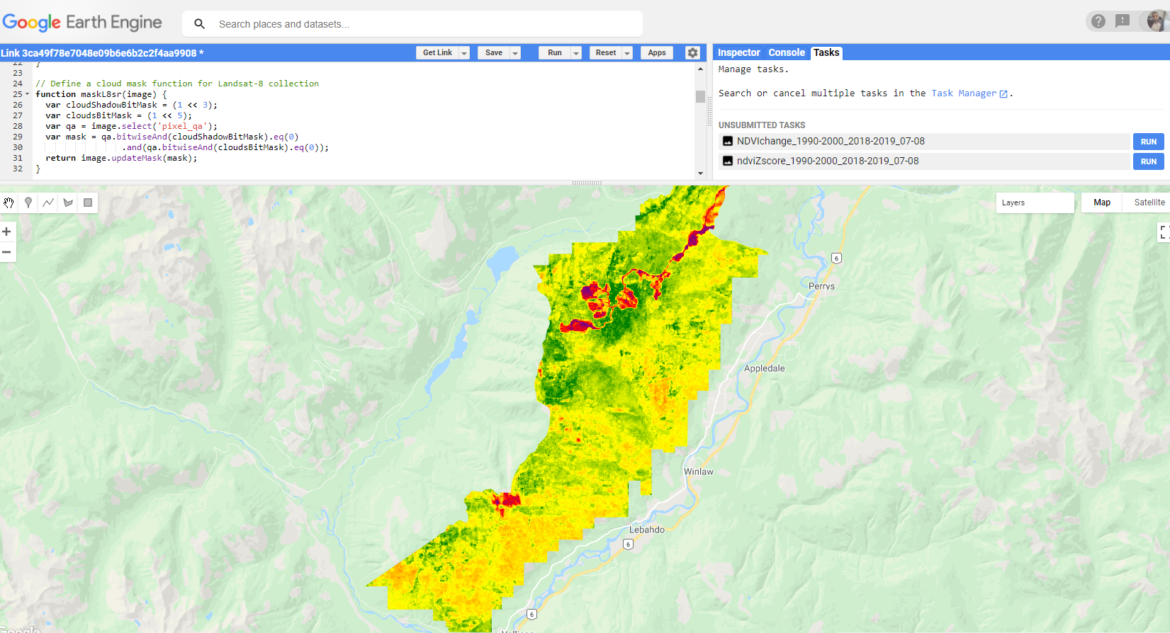
This is a pilot project I developed while working for BC Timber Sales. The aim is to aid Field Teams identify and delineate Forest pockets hit by Beetle Infestation This Google Earth Engine Script computes NDVI change/anomalies based on Landsat 5 and 8 Time Series. This is used to detect changes in vegetation cover for multiple analysis: Beetle infestation, wildfires, logging, drought...
User inputs are: Area of Interest and Time Series start/end dates. When selecting imagery acquisition dates, keep in mind that:
- Landsat-5 imagery is available from March 1984 to May 2012.
- Landsat-8 imagery is available from April 2013 to Present.
The script compares NDVI values pixel-wise between a historic reference period (before disturbance) and current period (after disturbance). The script computes two NDVI anomaly datasets:
- Percentage of Change (%) between the two periods
- Standardized Anomaly (z-score): Zndvi = (NDVI-i - NDVI-mean) / NDVI-std. where NDVI-i is the current NDVI value, NDVI-mean is the mean value of the reference period and NDVI-std is the Standard Deviation of the reference period.
The JS version can be run on the GEE web-based IDE (Code Editor). The PY version can be run on the GEE QGIS plugin.