
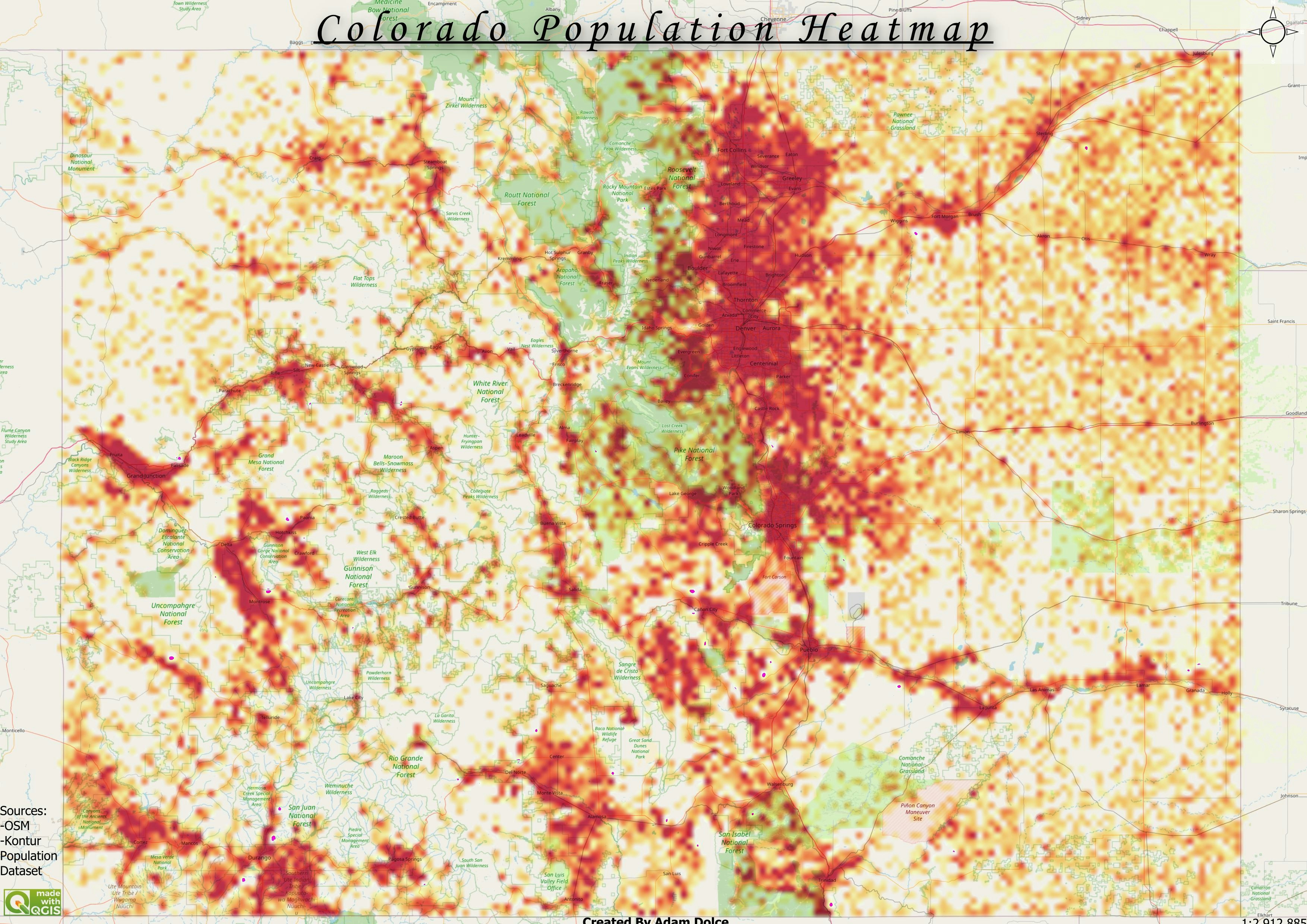
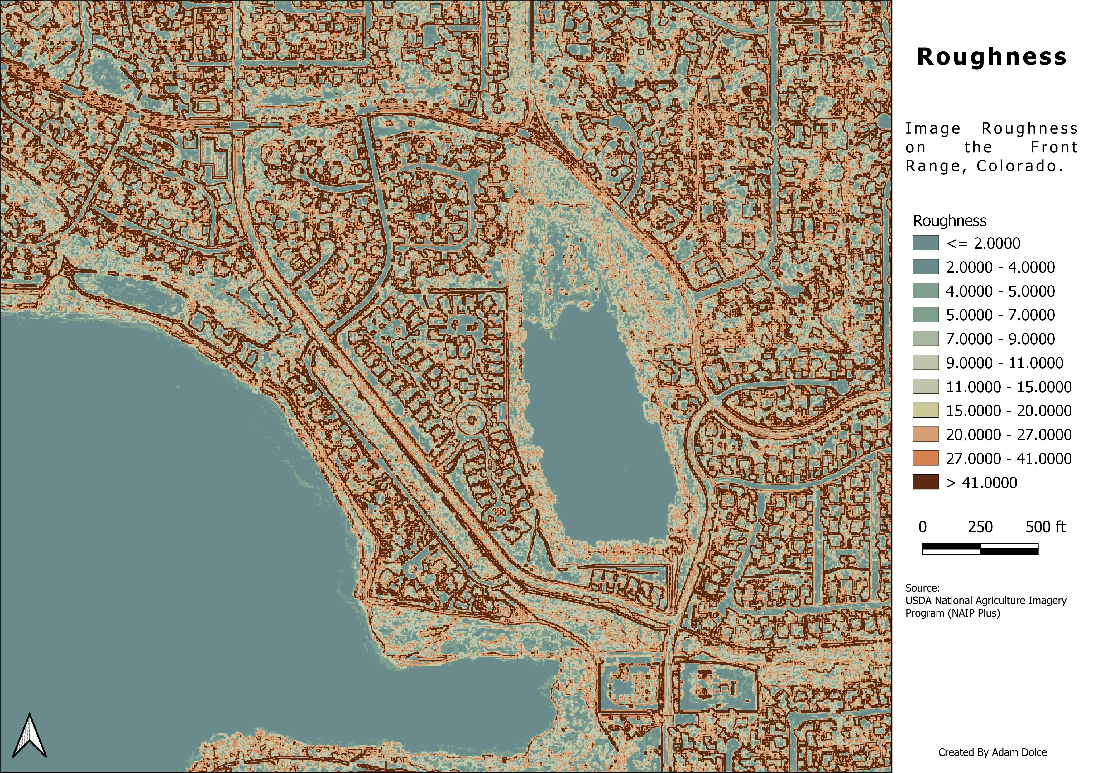
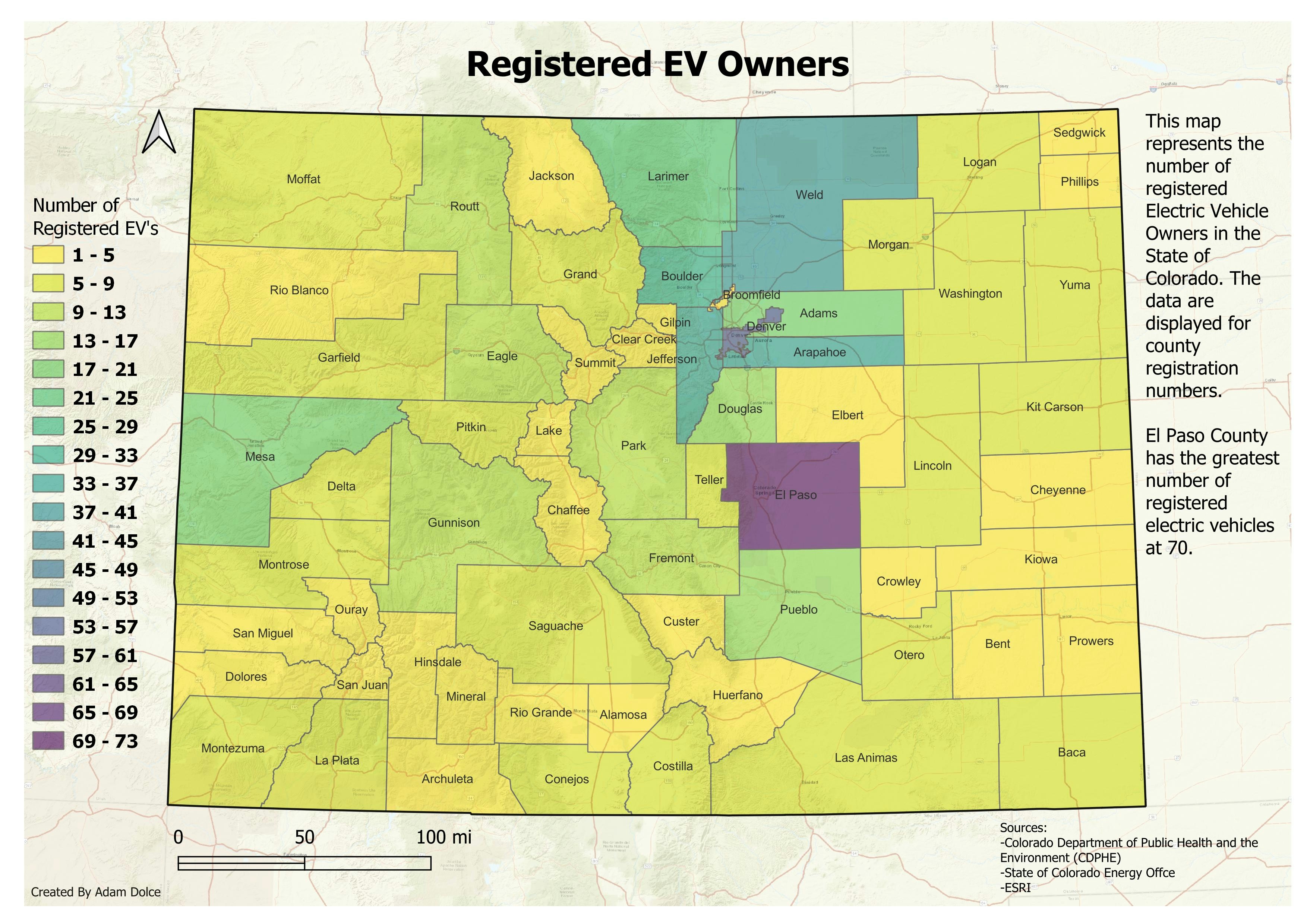
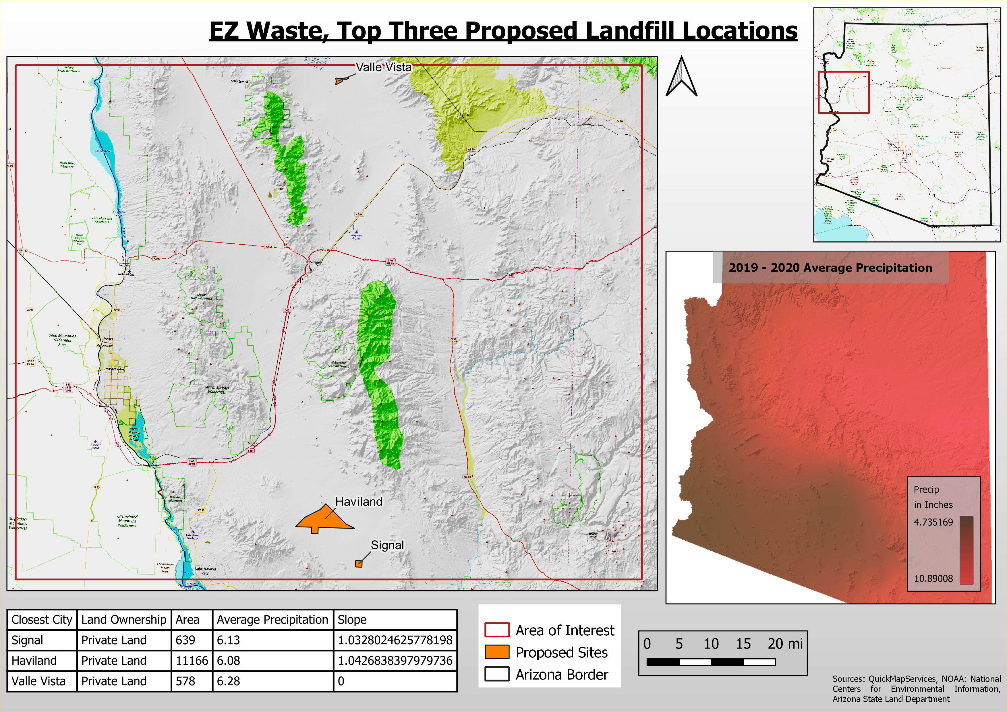
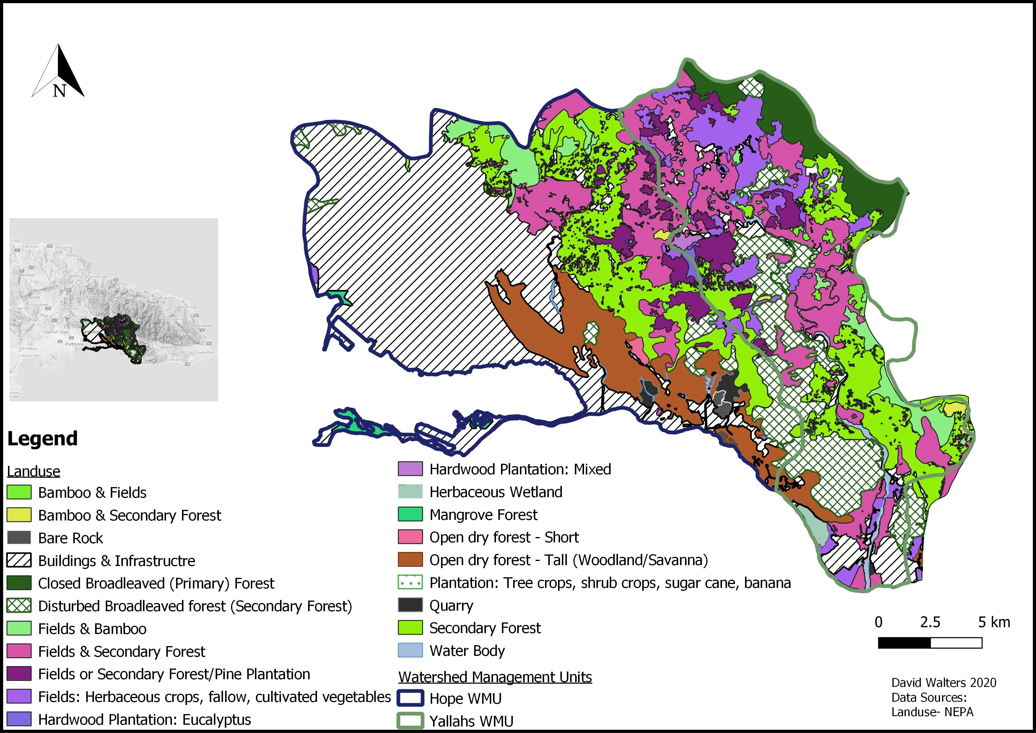
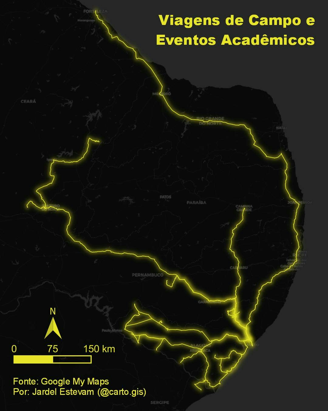
Colorado Population represented by a heatmap. Data derived from the Kontur Datasets
Colorado Population
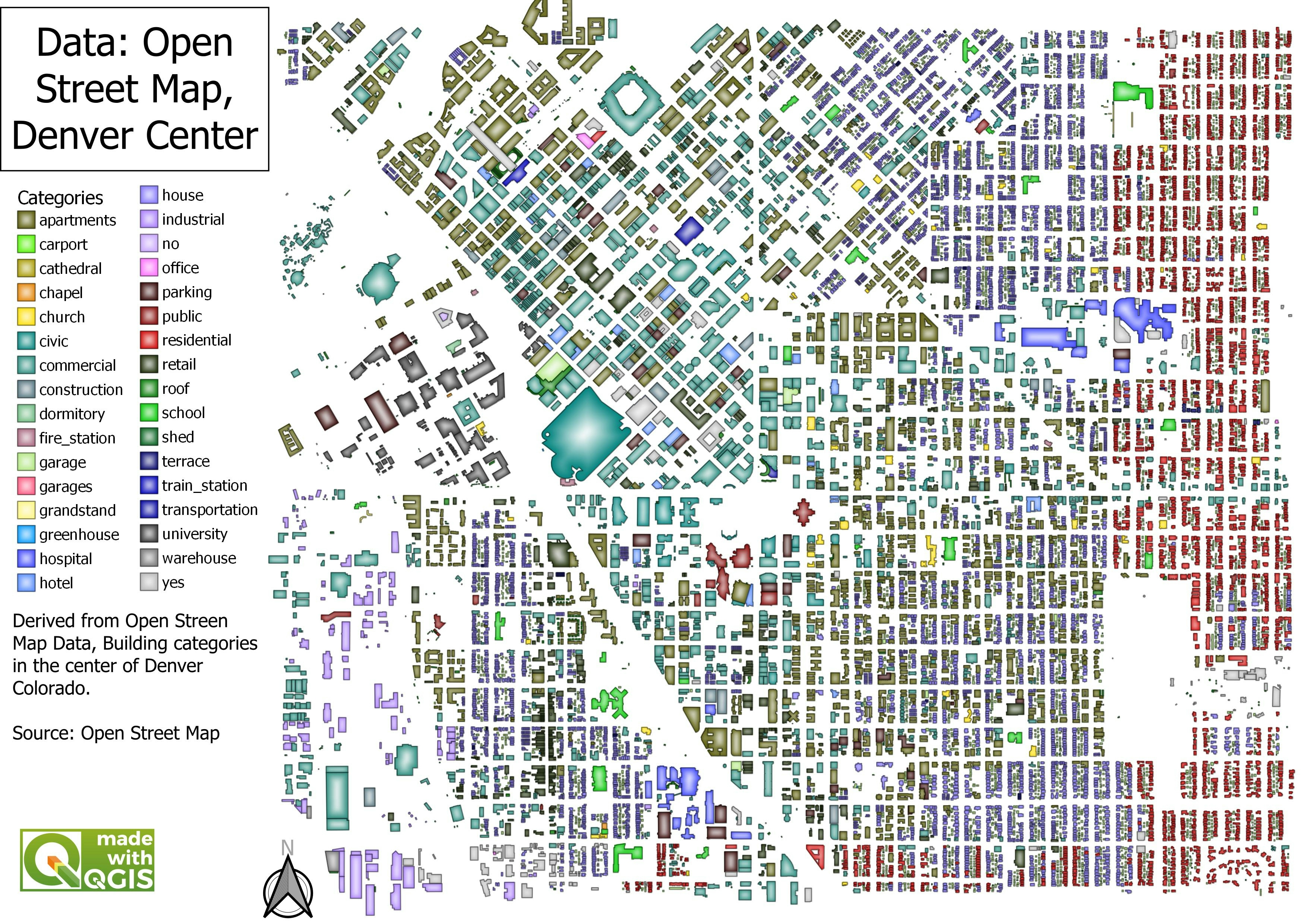
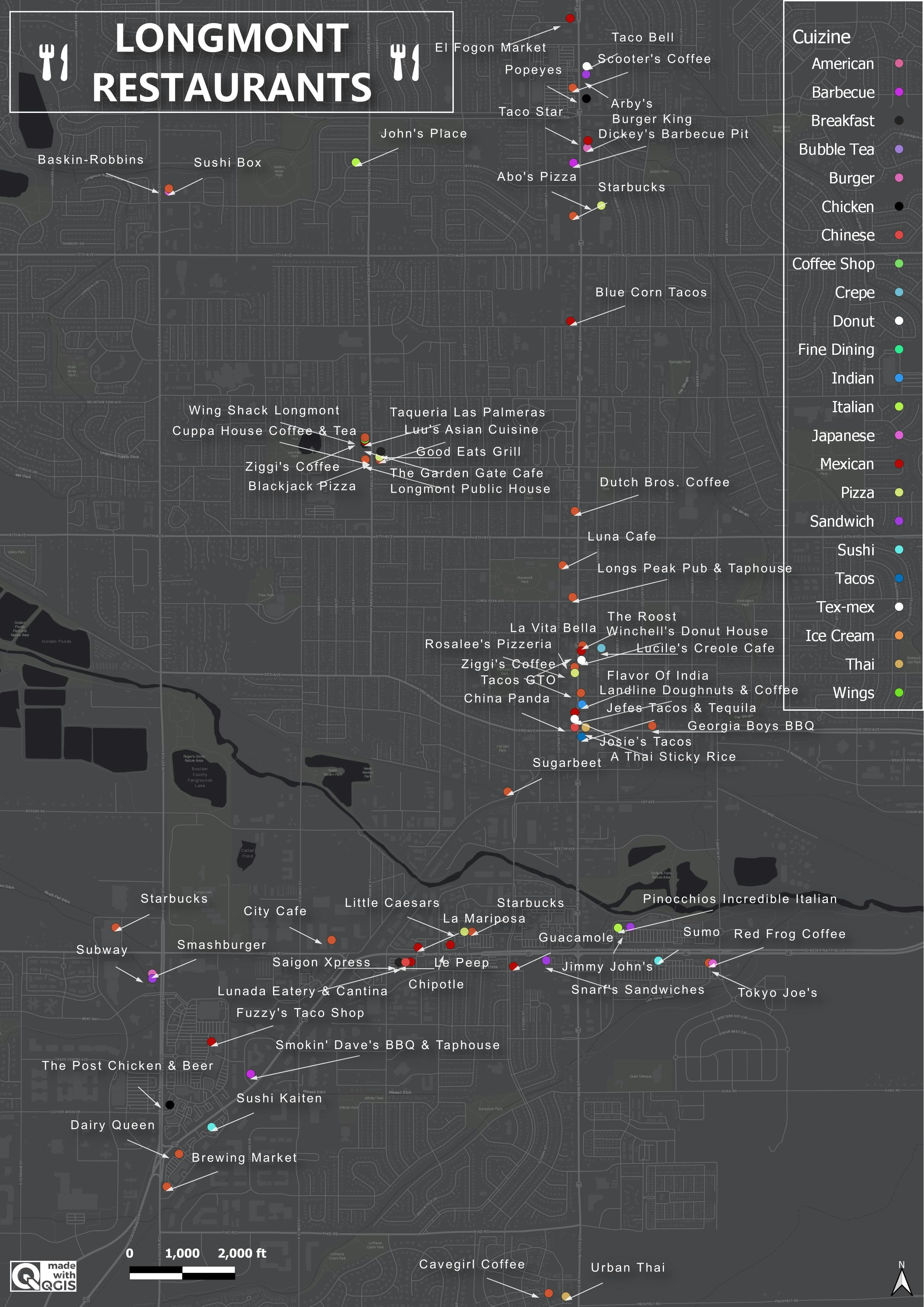
Tools used
OpenStreetMap OSMQGIS
Plug-ins used
densityanalysisOpenStreetMap
tags
densityHeat MapOpenStreetMapPopulationDensityQGIS
More by Adam O Dolce
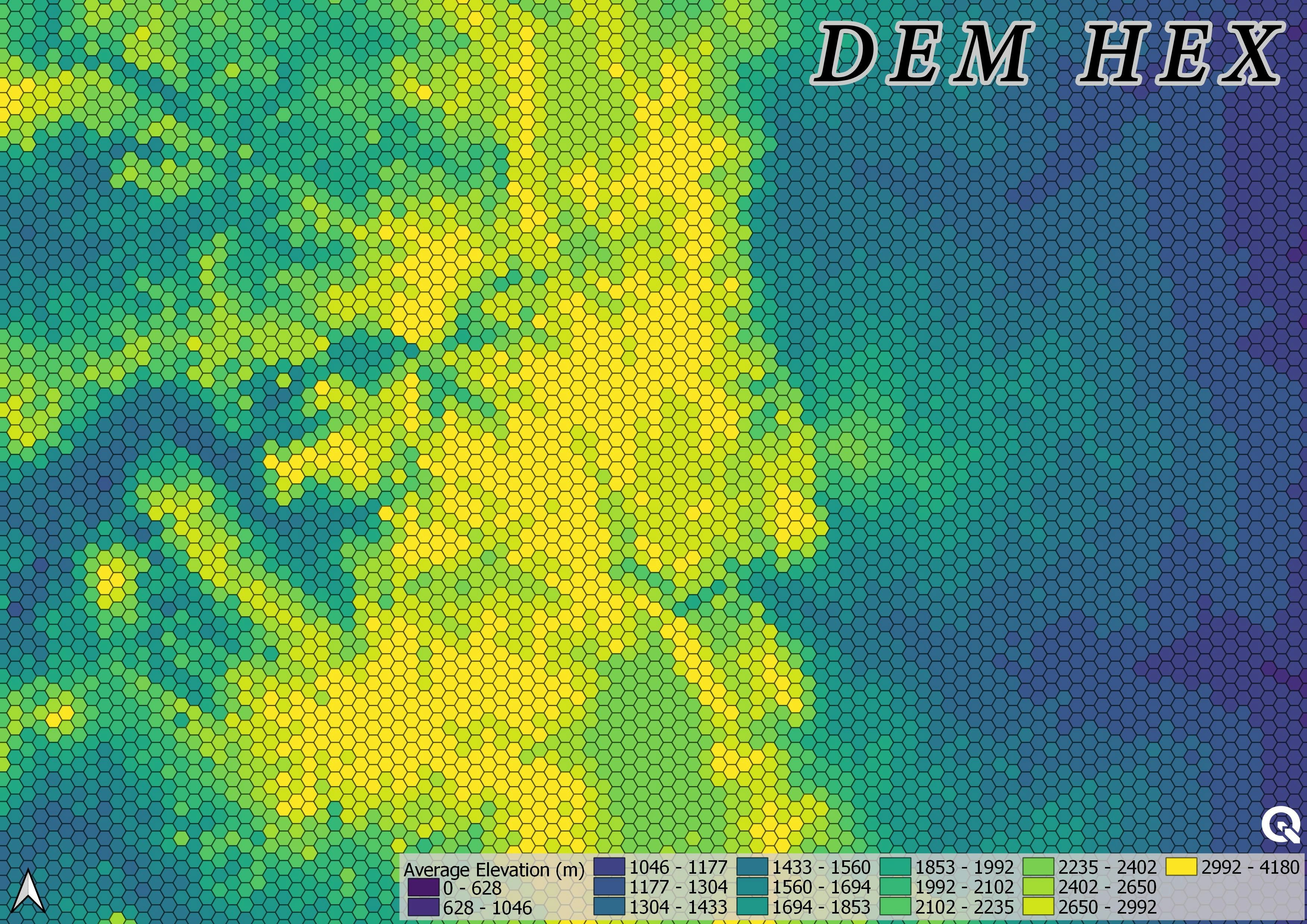

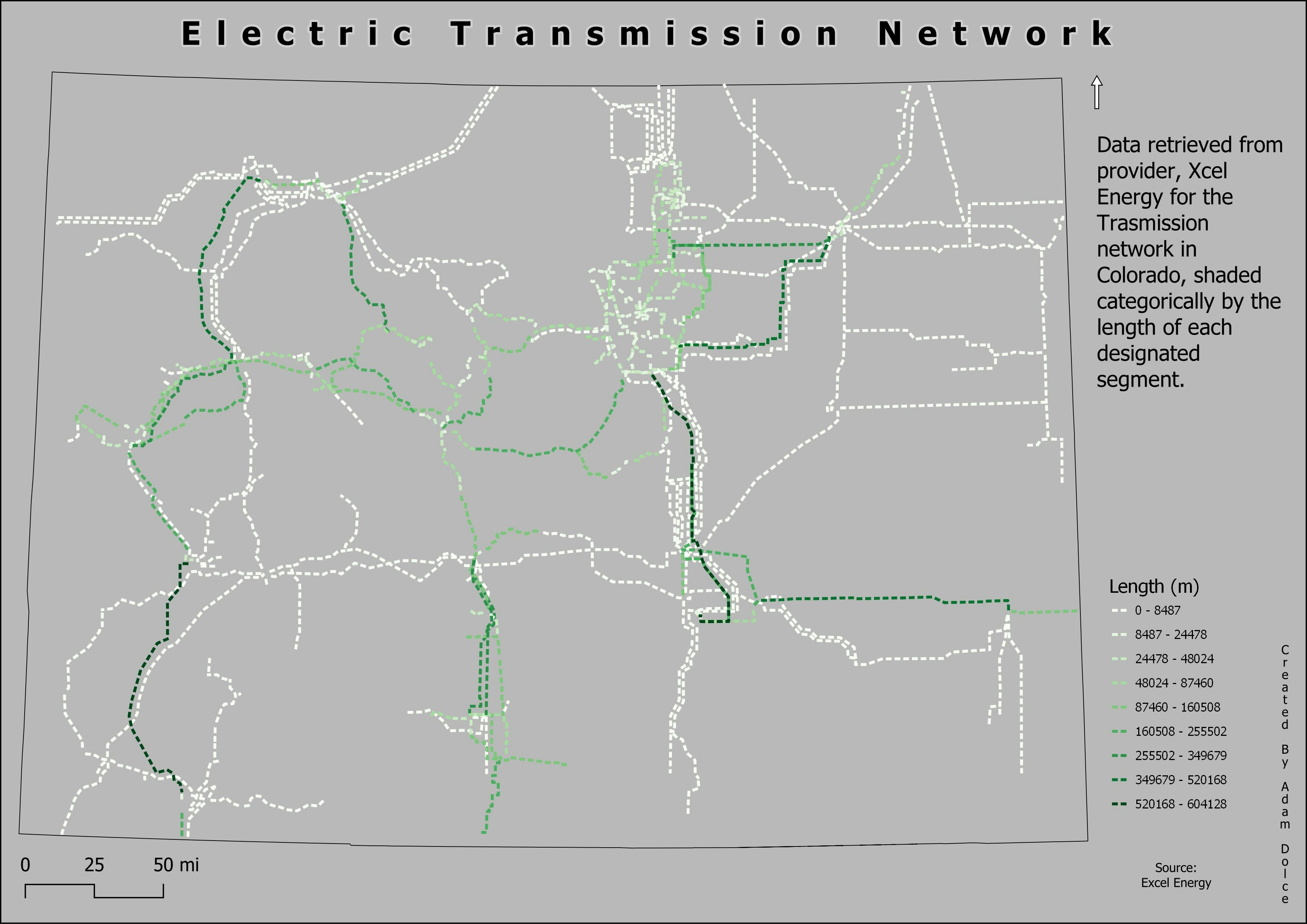
You might also like


.gif&w=3840&q=100)

Join the community!
We're a place where geospatial professionals showcase their works and discover opportunities.