
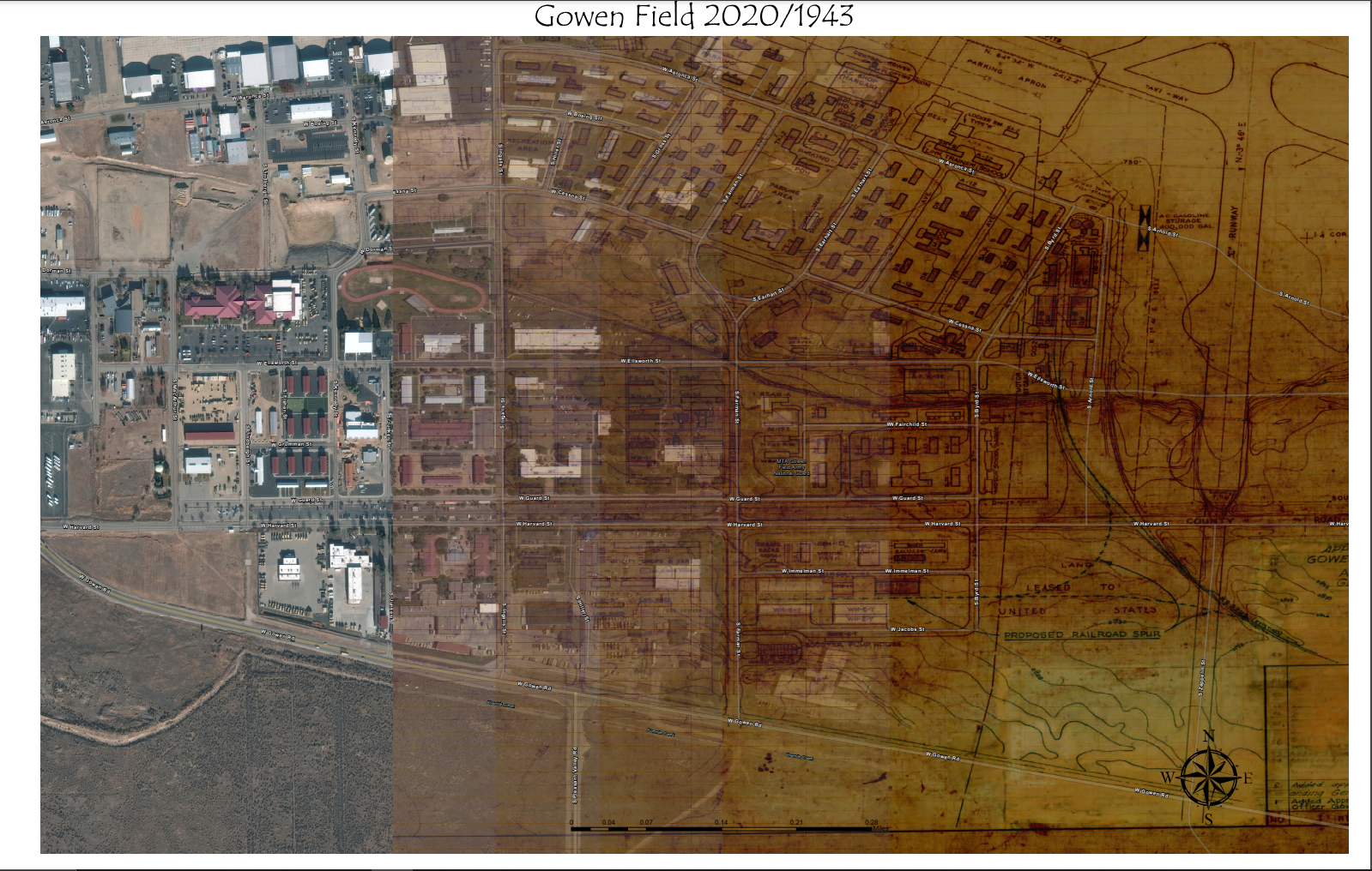
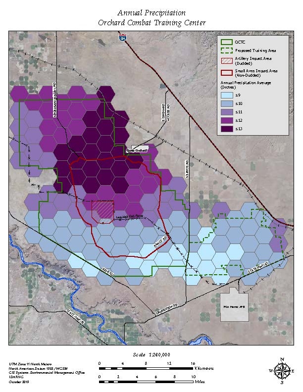
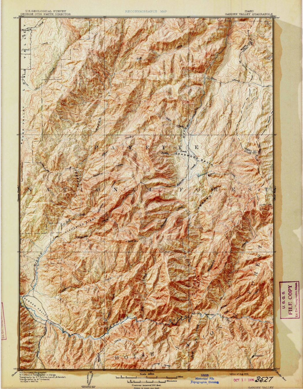
This was from a couple years ago but I created a shifting map from current imagery to a scanned historical map with multiple Map frames. Turned out well but I have ideas to make it better.
Historical shift 1943 to 2020
Tools used
ArcPro
Plug-ins used
image analyst
tags
ArcGIS ProHistoricalMultiple map Frames
More by Michael Nau


You might also like


Join the community!
We're a place where geospatial professionals showcase their works and discover opportunities.