Sign up or log in to your Spatialnode account.

Takes less than a few seconds.

Story Board, Idaho Military Division

Michael Nau
Michael Nau•

November 15, 2022

Story Board, Idaho Military Division

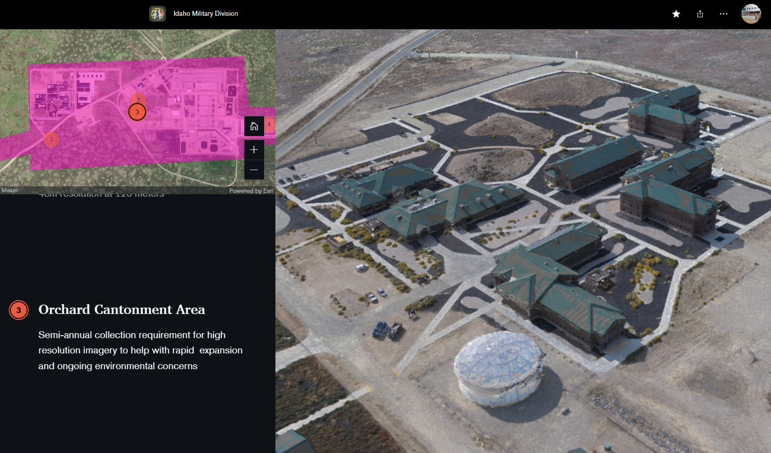
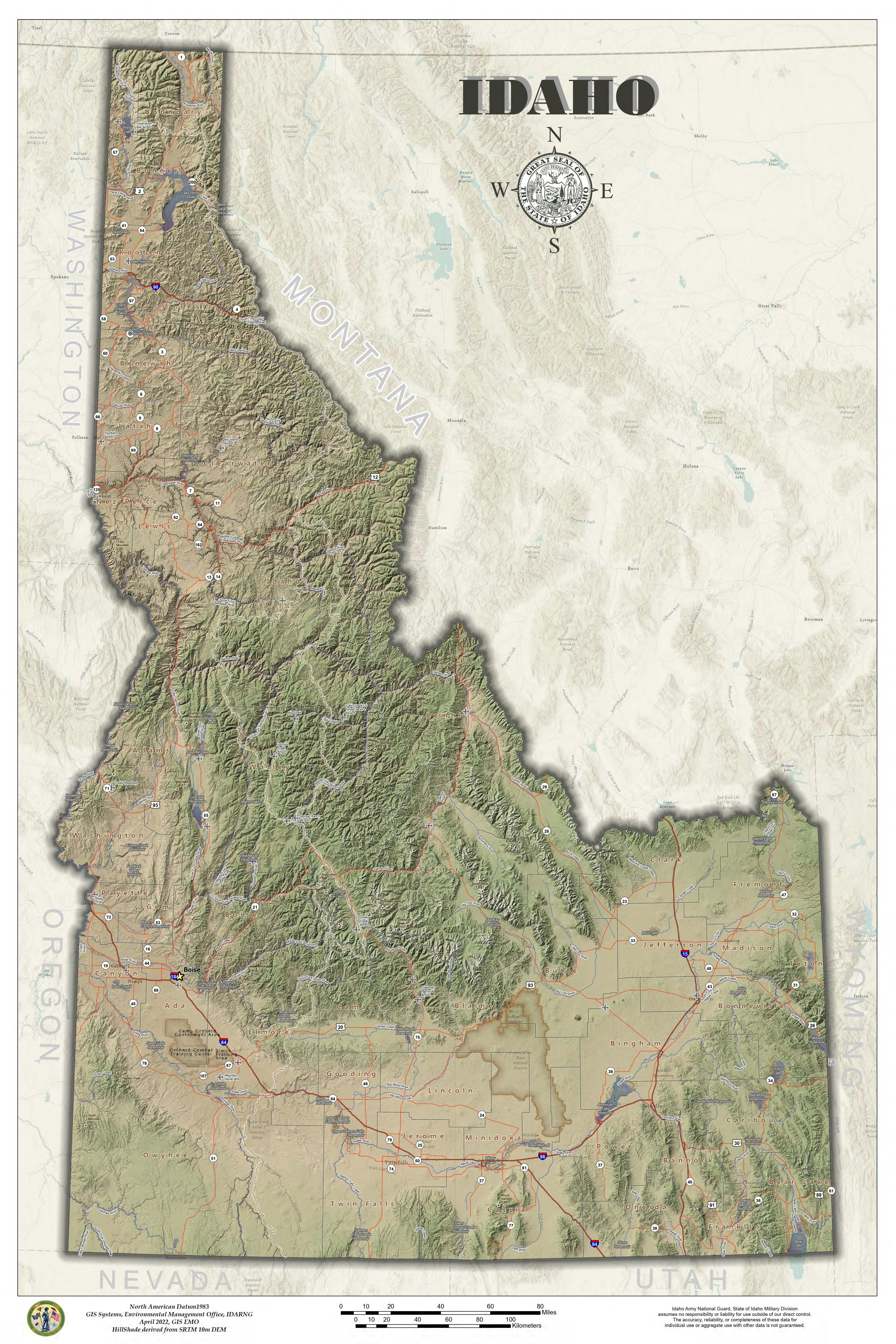
This was a quick storyboard to share what the Idaho Military Division works with. Specific to the UAS abilities and requirements.


Hit Demo to take you to the link!!!

Demo

Tools used

AGOLArcGIS Story Maps

Plug-ins used

storymap

tags

storymapUAS

More by Michael Nau

Historical shift 1943 to 2020
60
IdahoDarkRoads
IdahoDarkRoads
43
Wedding Seating Chart
38
PRISM Precipitation Data in Hex
53
Warm Lake Idaho 2024
34
Heart of the Salmon River
61
USGS Topo 1909 Idaho Modern Hillshade
27
Great State of Idaho
37
Surface Drainage
Surface Drainage
87
Taste of Shed hunting
33

You might also like

Invasive Species Sightings in Whistler
Talvinder Gill
Invasive Species Sightings in Whistler
Talvinder Gill
20
EV Charging Stations per 200 Road Miles
Dan Martin
EV Charging Stations per 200 Road Miles
Dan Martin
156
Ghana Night Lights Explorer
Daniel Narh Zuta
Ghana Night Lights Explorer
Daniel Narh Zuta
8
Avalanche Risk Around Mt. Baker Ski Area
Drew S
Avalanche Risk Around Mt. Baker Ski Area
Drew S
38
Population  (Rwanda- Northern Province)
Jose Rubio-Valverde
Population (Rwanda- Northern Province)
Jose Rubio-Valverde
135
Poster Presentation for AAG Conference
Michael Burnett
Poster Presentation for AAG Conference
Michael Burnett
47
15 Years of Wildfires in Alberta
Kamille Mendoza
15 Years of Wildfires in Alberta
Kamille Mendoza
16
Escolas Educação Infantil Recife
Renata Maciel
Escolas Educação Infantil Recife
Renata Maciel
10
Water point distribution
Chimango Chisuwo
Water point distribution
Chimango Chisuwo
20
mapa temático
Edmundo C S Junior
mapa temático
Edmundo C...
18
Topography Map of Tanzania
Hemed Lungo
Topography Map of Tanzania
Hemed Lungo
108
Modelo Digital de Elevação
Letícia Vieira C.
Modelo Digital de Elevação
Letícia Vieira C.
19

Join the community!

We're a place where geospatial professionals showcase their works and discover opportunities.

Sign Up for free