Sign up or log in to your Spatialnode account.

Takes less than a few seconds.

Projected Time Zones 🌐

Alexa Cristina
Alexa Cristina•

February 11, 2022

Projected Time Zones 🌐

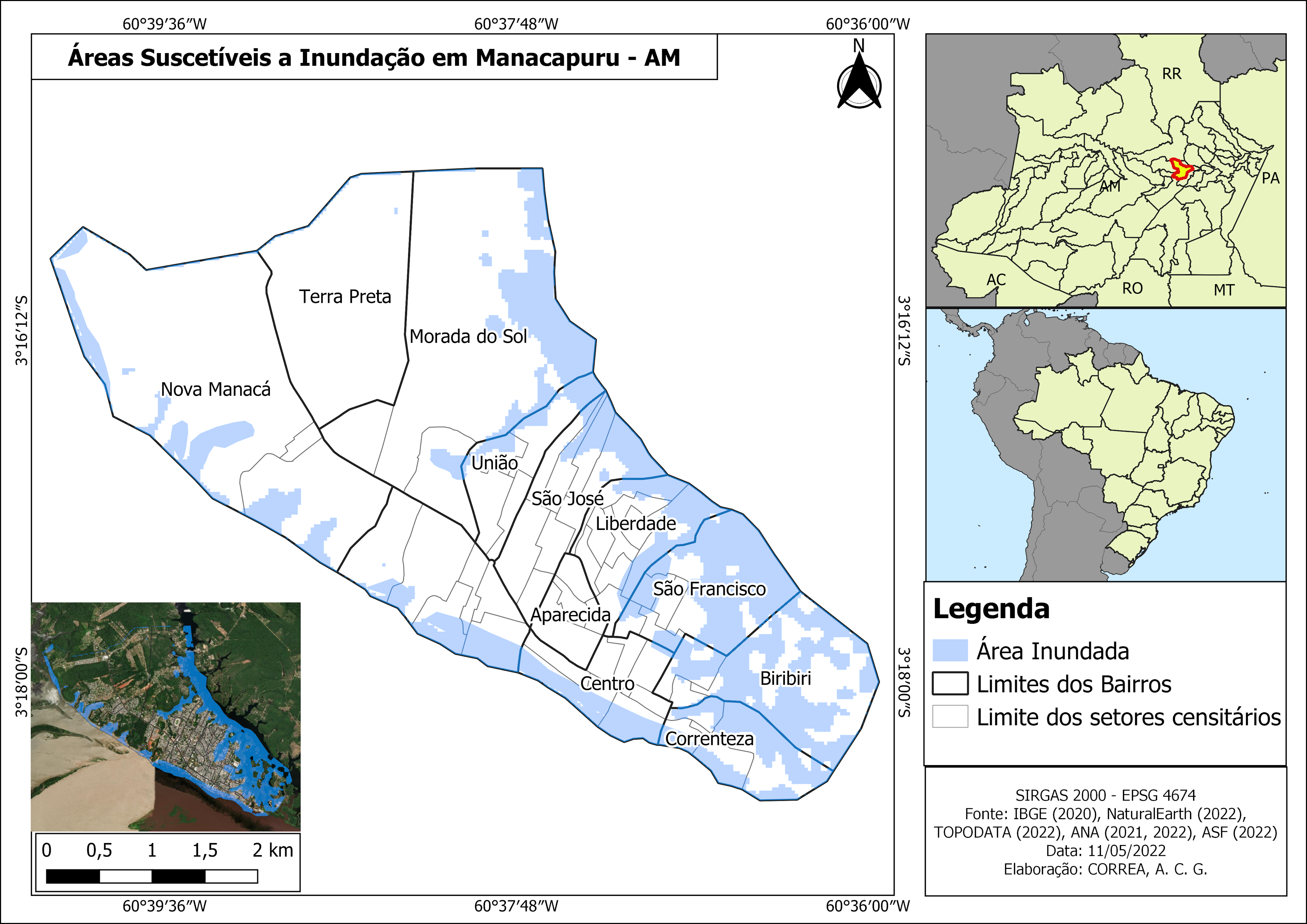
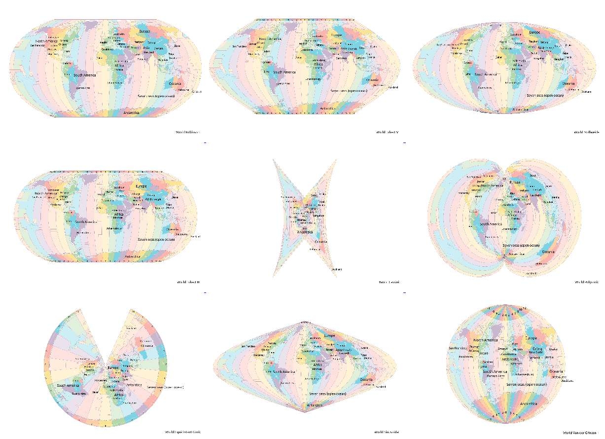
Testing various projections.

Country parts are colored by groups of 6 time zones.

Data: Natural Earth, Timezones
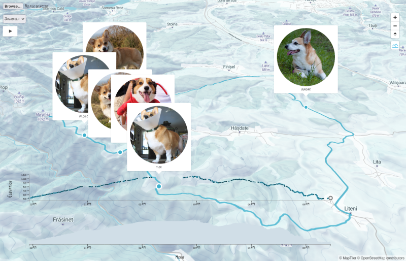
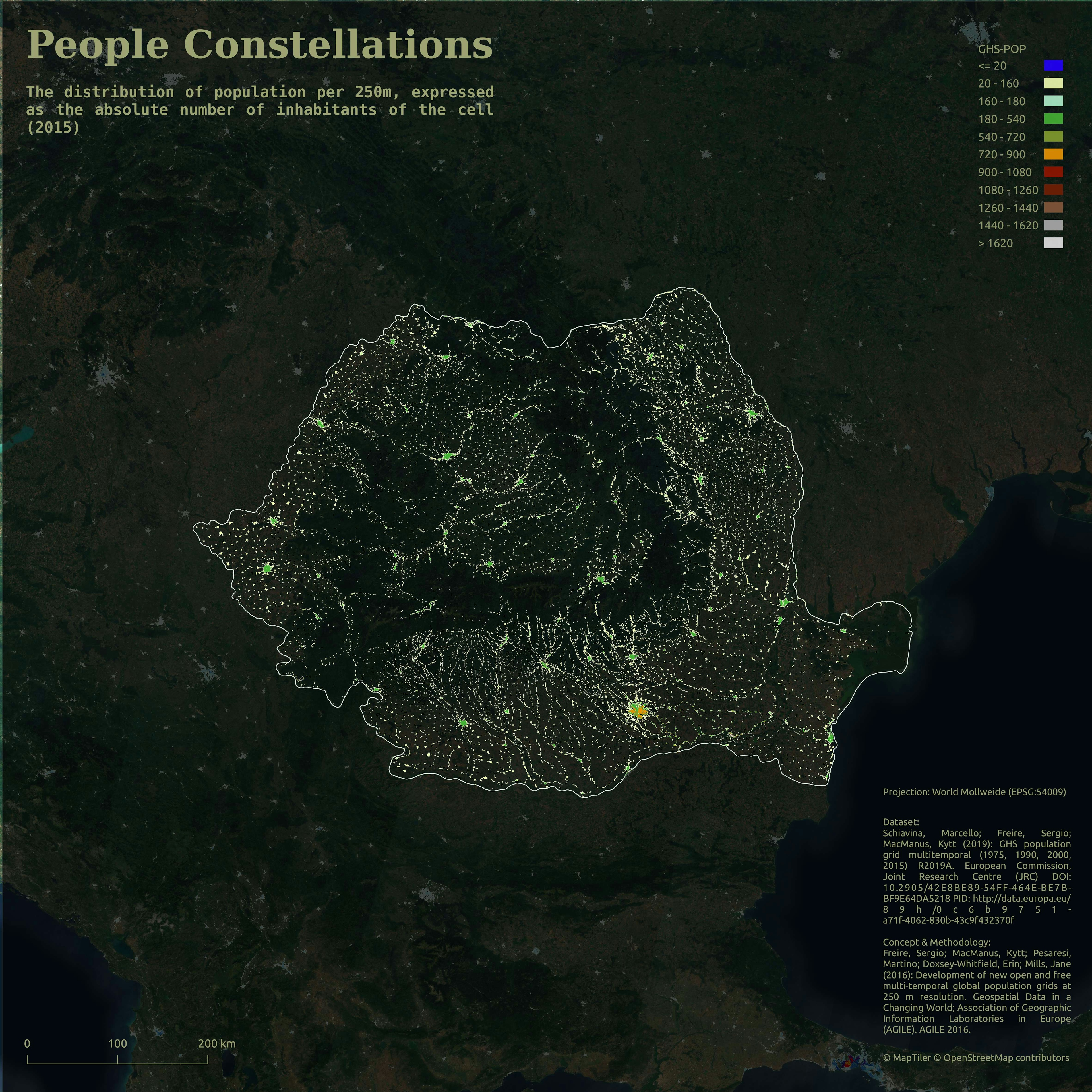
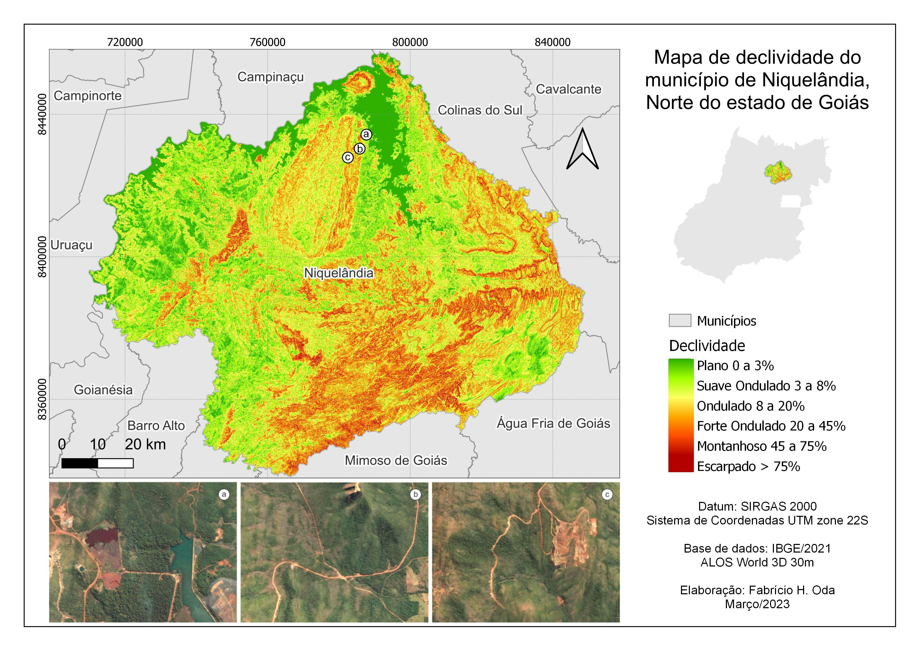
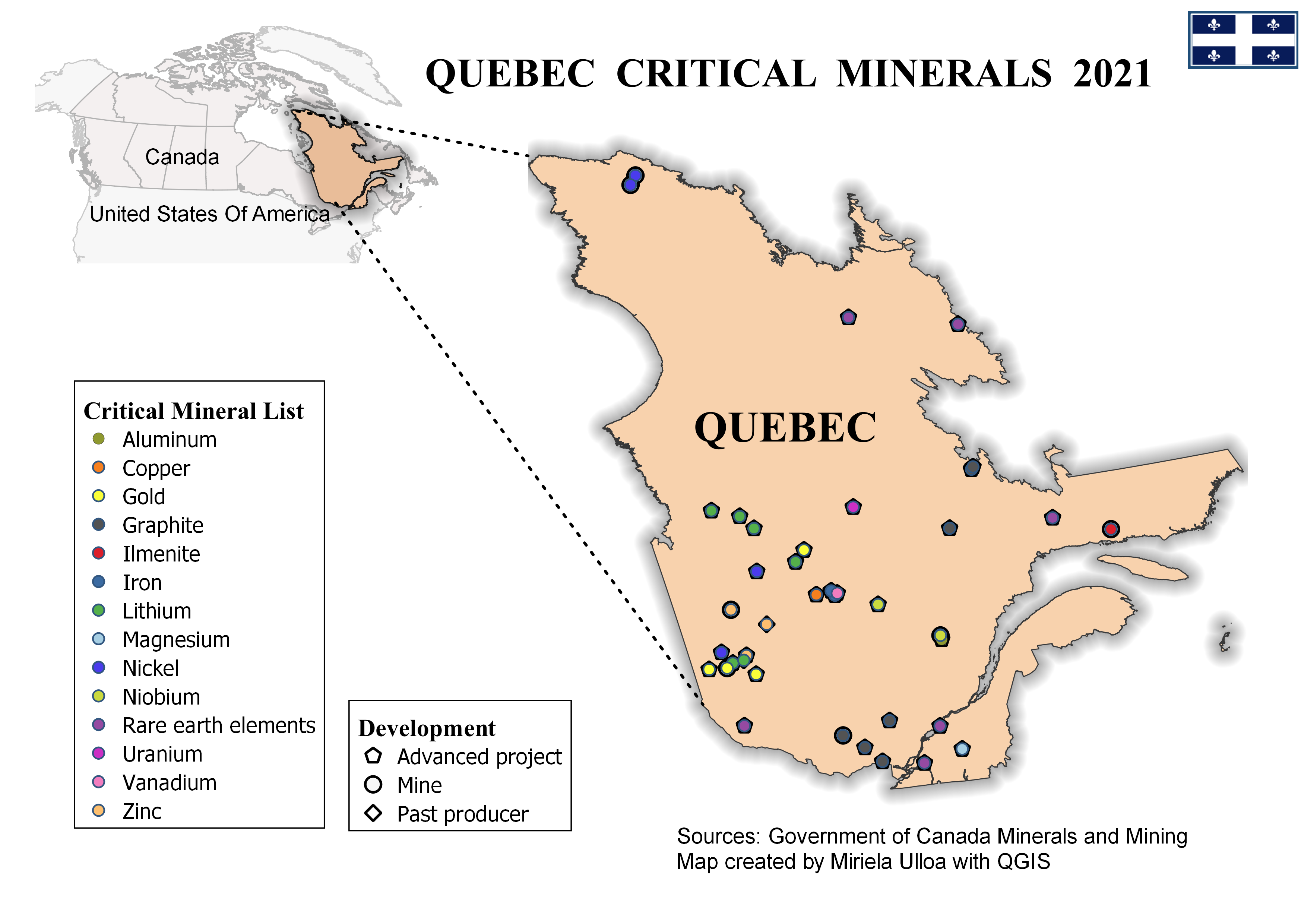
Demo

Tools used

QGIS

Plug-ins used

Leaflet

tags

projectionsQGIStime zones

More by Alexa Cristina

People Constellations ✨
43
The many faces of elections - Cartograms
52
Earth gone wild! Green edition. 💚
16
Dancing City
Dancing City
27
Moon 🪨
Moon 🪨
47
The Hexagonal Nose ⬡⬡⬡
3
Stormy timelapse 🌩️
Stormy timelapse 🌩️
11
A furry journey 🐾
A furry journey 🐾
77
Yosemite Valley ⛰️⛰️
127
Multiple and Flexible Pathways
154
Population per administrative units Map
22
COVID-19 cases in Romania - Clusters
25

You might also like

Community Gardens and Local Diversity
Kevin Le
Community Gardens and Local Diversity
Kevin Le
15
Tree Species Distribution
Satyam Soni
Tree Species Distribution
Satyam Soni
41
Mapa LICENÇA AMBIENTAL ÚNICA
Simone Malhado da Silva
Mapa LICENÇA AMBIENTAL ÚNICA
Simone Malhado...
5
Localização de parcelas para IF
Antonio Carlos Costa Linhares
Localização de parcelas para IF
Antonio Carlos...
11
Classified Map of Genessee Park, Seattle
Lucia Claire Lin
Classified Map of Genessee Park, Seattle
Lucia Claire Lin
7
Burglary Crime Offenses in PittsburgCity
Susie Thoeun
Burglary Crime Offenses in PittsburgCity
Susie Thoeun
253
Ecorregiões com Estudos
Murilo Silva
Ecorregiões com Estudos
Murilo Silva
27
Map of Kogi State
Chukwulobe Martins Ugonna
Map of Kogi State
Chukwulobe Martins Ugonna
689
Neighborhood Sketch Map
Jennifer Cresap
Neighborhood Sketch Map
Jennifer Cresap
8
Species Distribution Model (Part 1)
Ali Mulla
Species Distribution Model (Part 1)
Ali Mulla
21
Shaded relief map of Nigeria
Balogun Temitope
Shaded relief map of Nigeria
Balogun Temitope
680
ENVI Remote Sensing for Crop Growth
Benjamin Landry
ENVI Remote Sensing for Crop Growth
Benjamin Landry
6

Join the community!

We're a place where geospatial professionals showcase their works and discover opportunities.

Sign Up for free