.gif&w=3840&q=100)
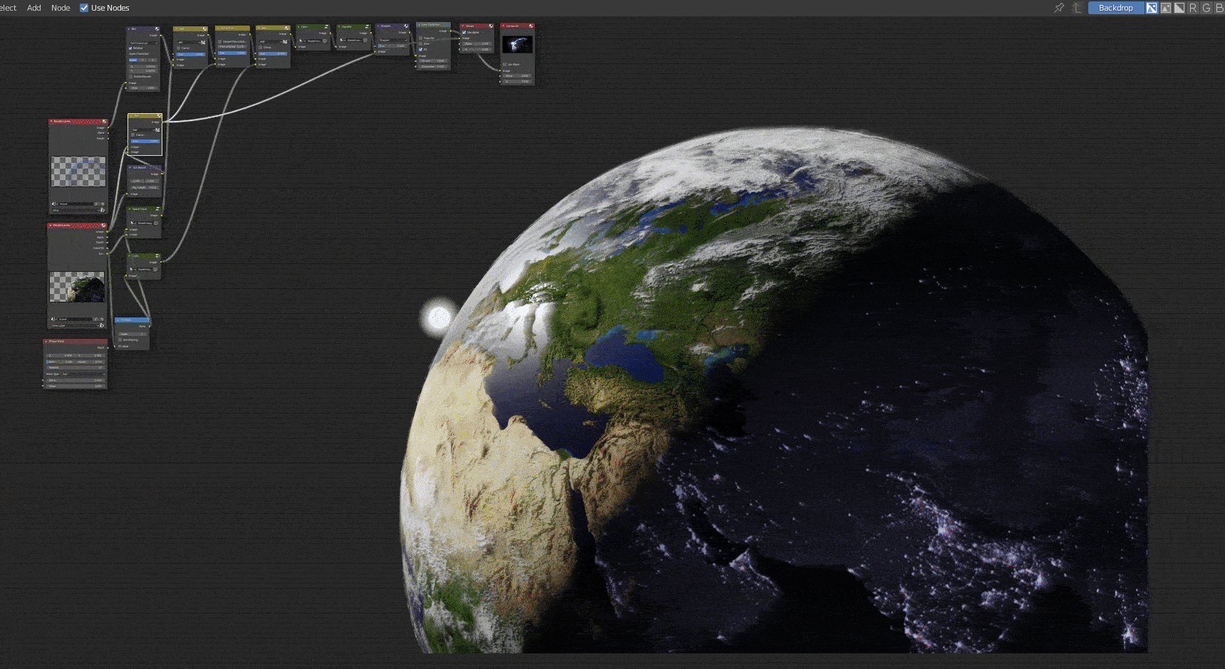
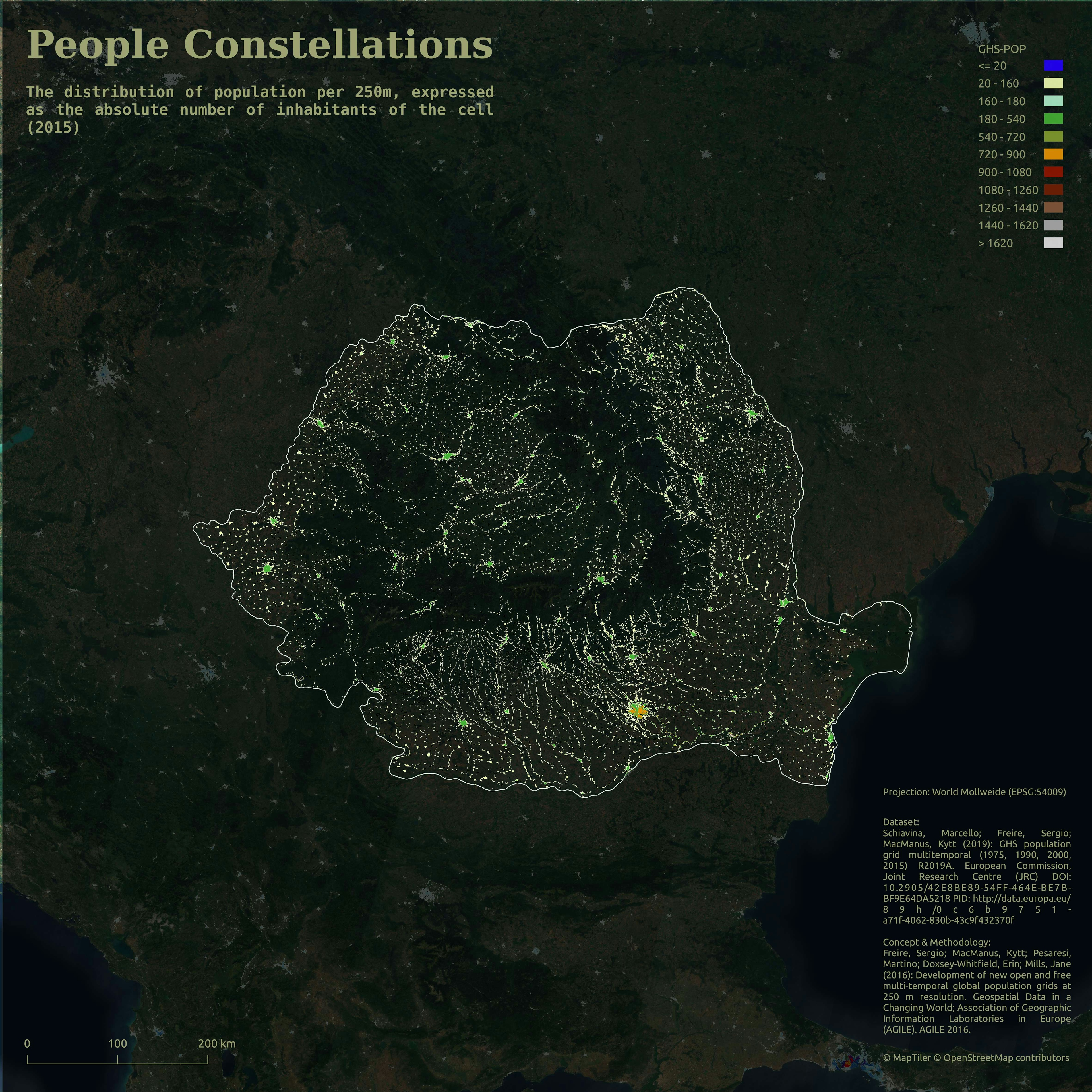
The visualization shows the populated places on Earth. The bigger the circle, the greater the population.
Cities with a bigger rank are more brightly colored.
Data: Natural Earth
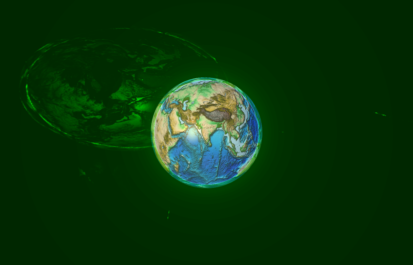
Populated Places on Earth 🌍
The visualization shows the populated places on Earth. The bigger the circle, the greater the population.
Cities with a bigger rank are more brightly colored.
Data: Natural Earth
You might also like
We're a place where geospatial professionals showcase their works and discover opportunities.
.gif&w=3840&q=100)

.gif&w=3840&q=100)


.svg "Keran Nkongolo")
.jpg&w=3840&q=100)