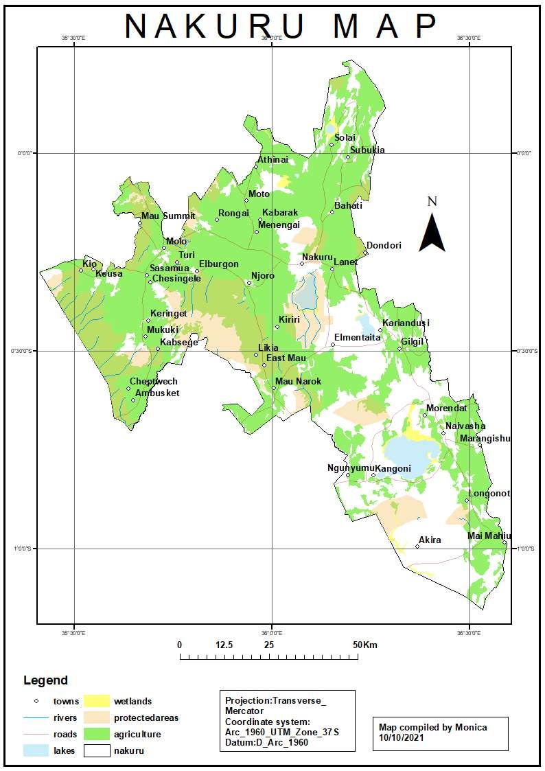
RESOURCE MAP FOR NAKURU COUNTY IN KENYA

Tools used
ArcMap
Plug-ins used
ArcMap
tags
ArcMap
More by Monica Wanjiru Chuchu

You might also like


Join the community!
We're a place where geospatial professionals showcase their works and discover opportunities.