

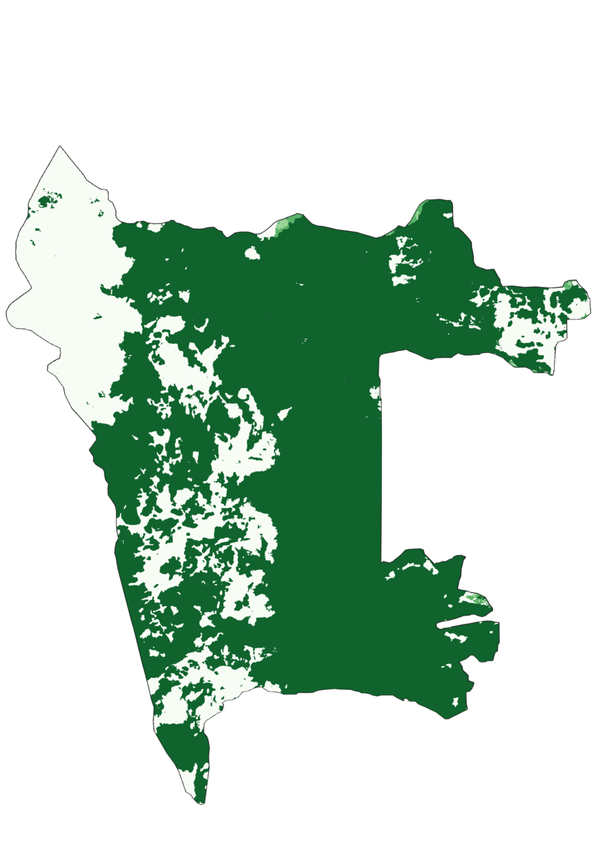
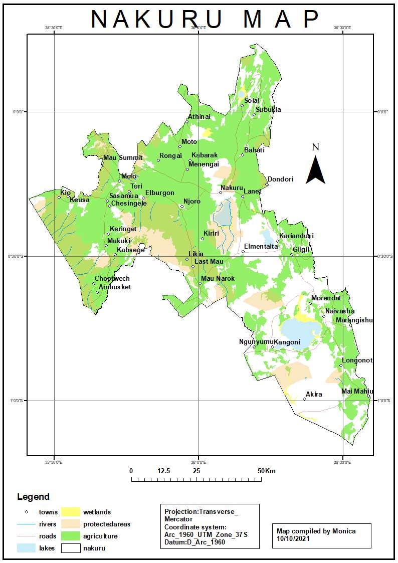
Geothermal exploration can be done through various techniques including remote sensing. A geothermal potential area has thermal anomalies as compared to its surrounding areas. Therefore, by creating a Land Surface temperature map, you are able to identify the anomalies. Eburru Badlands, Gilgil constituency, Nakuru county in Kenya is a geothermal powerplant. The area is characterized by fumaroles, hot springs, mud pools which are all manifestations of heat anomalies on earth. The power plant generates about 2.44 MW of electricity.
LAND SURFACE TEMPERATURE MAP FOR GILGIL
Tools used
QGIS
tags
QGIS
More by Monica Wanjiru Chuchu
You might also like


Join the community!
We're a place where geospatial professionals showcase their works and discover opportunities.