
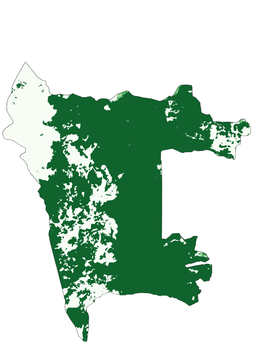
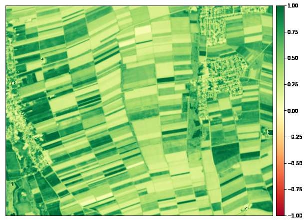
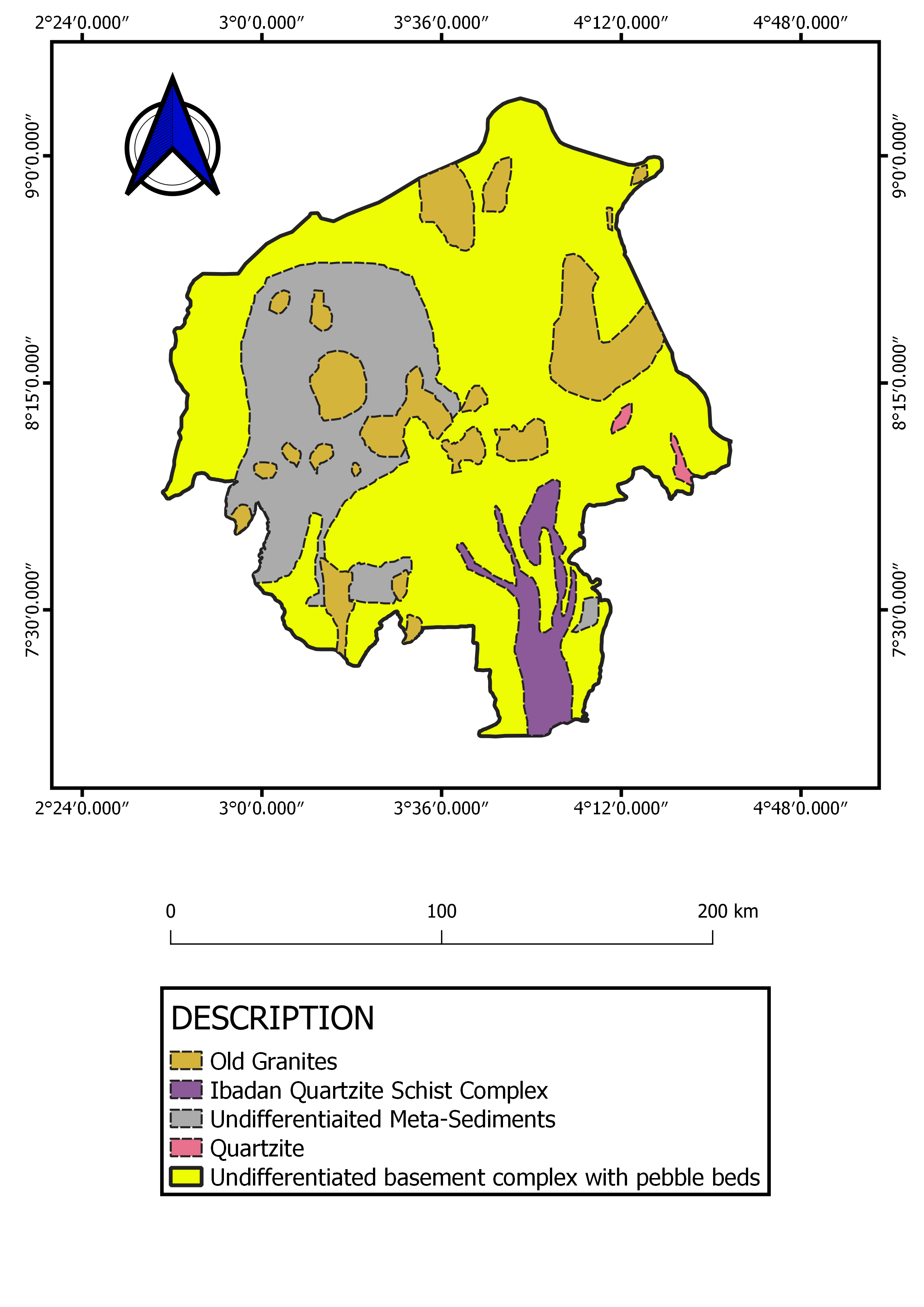
Above is a time series showing Aberdare forest land cover from 2017 to 2021. Aberdare forest is located in central Kenya, east of the Rift Valley. It is home to the Aberdare National Park which has animals such as elephants, black rhinos, leopards, spotted hyenas just to mention a few. The forest has been prone to fires due to various reasons. For instance, in 2017, wildfires led to the burning of 17,000 hectares of forest. In 2022 around February, there were fires in the forest which according to the Kenya wildlife service were due to strong winds and dry vegetation caused by the prevailing drought in the area for the past few months. Other reports also indicated that the fires may also have been caused by honey gatherers and hunters.
ABERDARE FOREST MONITORING 2017 to 2021
Tools used
QGIS
Plug-ins used
Esri
tags
fire forestsentinel-2
More by Monica Wanjiru Chuchu

You might also like


Join the community!
We're a place where geospatial professionals showcase their works and discover opportunities.