


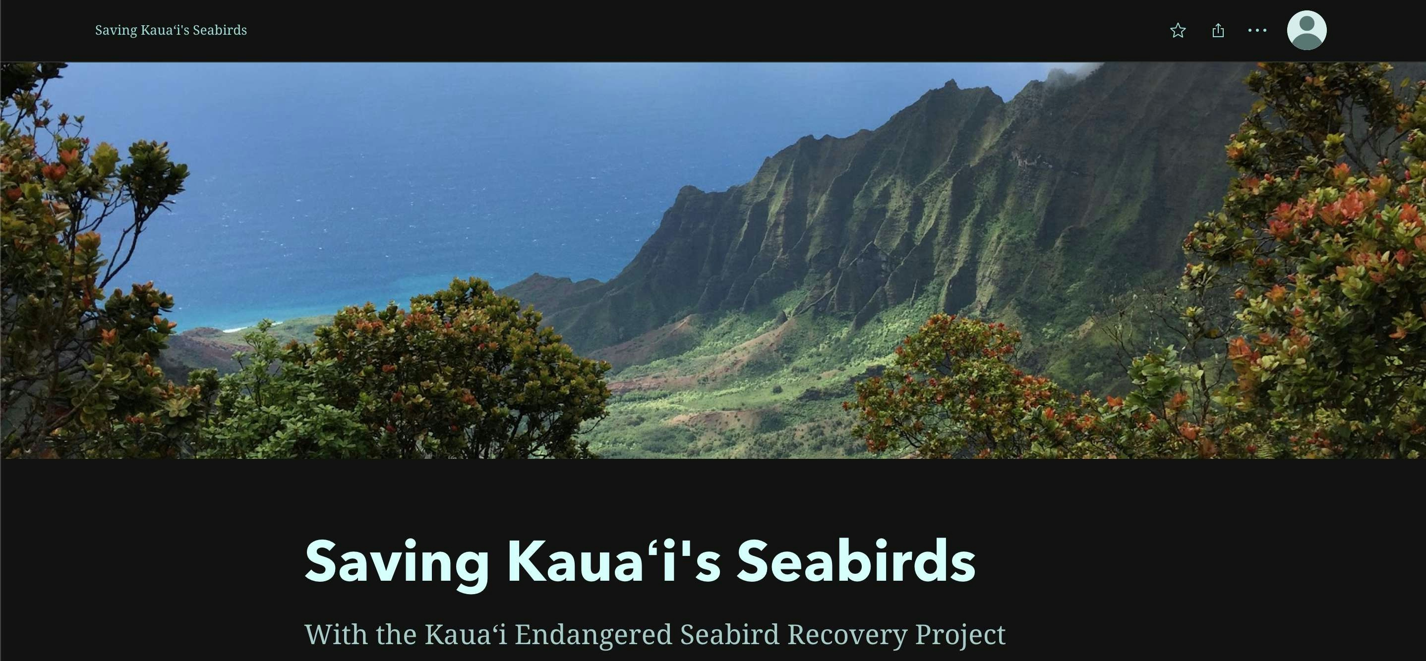
The purpose of this project was to design and research a GIS project and to produce a map displaying my findings. I chose the island of Kauai, Hawaii to compare populations of threatened and endangered species with human land usage.
Land Usage, Endangered Species on Kauai
Tools used
bufferclip
Plug-ins used
geoportal.hawaii.gov/datasets/HiStateGIS::t hreatened-endangered-plants/about
tags
conservationendangered plantshawaiikauailanduse
More by Jamaica De Luna


You might also like


.svg "Keran Nkongolo")


Join the community!
We're a place where geospatial professionals showcase their works and discover opportunities.