
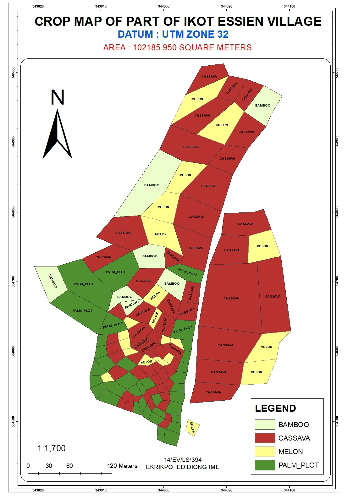
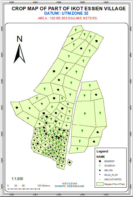
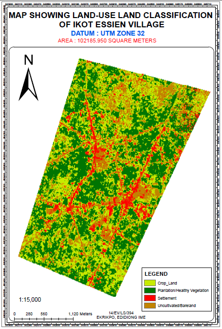
This is a map showing crops and their extents on some farm lands in Ikot Essien village, Essien Udim LGA, Akwa Ibom State.
CROP MAP OF PART OF IKOT ESSIEN VILLAGE
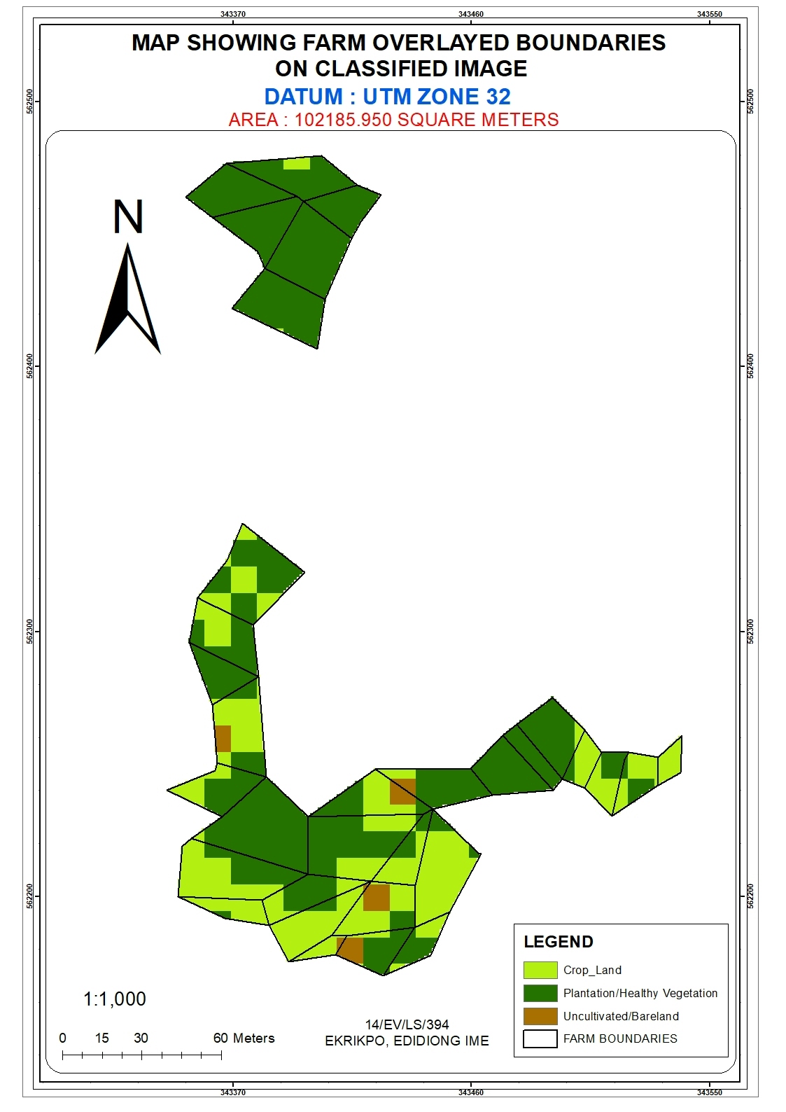
Tools used
ArcGIS Survey123 ConnectArcMapExcelGoogle Earth Pro
Plug-ins used
Spatial analystSpatial Analyst Toolbox
tags
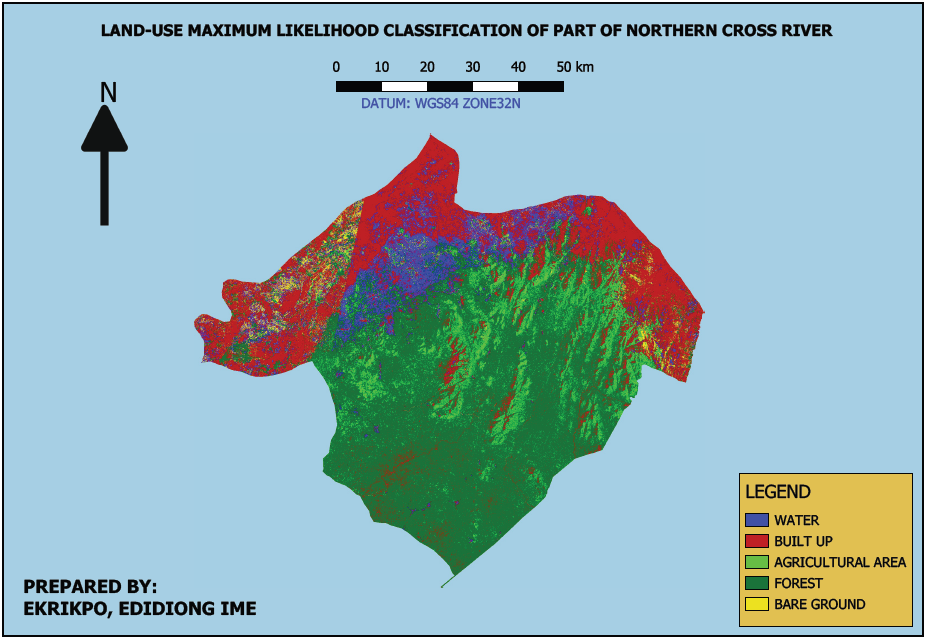
satellite data
More by Edidiong Ekrikpo


You might also like


1_1537132.png&w=3840&q=100)


Join the community!
We're a place where geospatial professionals showcase their works and discover opportunities.