Introduction
Drainage Density is an important index across various fields such as hydrology, environmental science, and even civil engineering. It is defined as the total length of streams per unit area, which can provide valuable insights into landscape characteristics, watershed management, and erosion potential.
In this article, we will learn how to calculate drainage density in ArcGIS Pro using Digital Elevation Model (DEM)
Let’s get started!
Launch ArcGIS Pro and create a new project
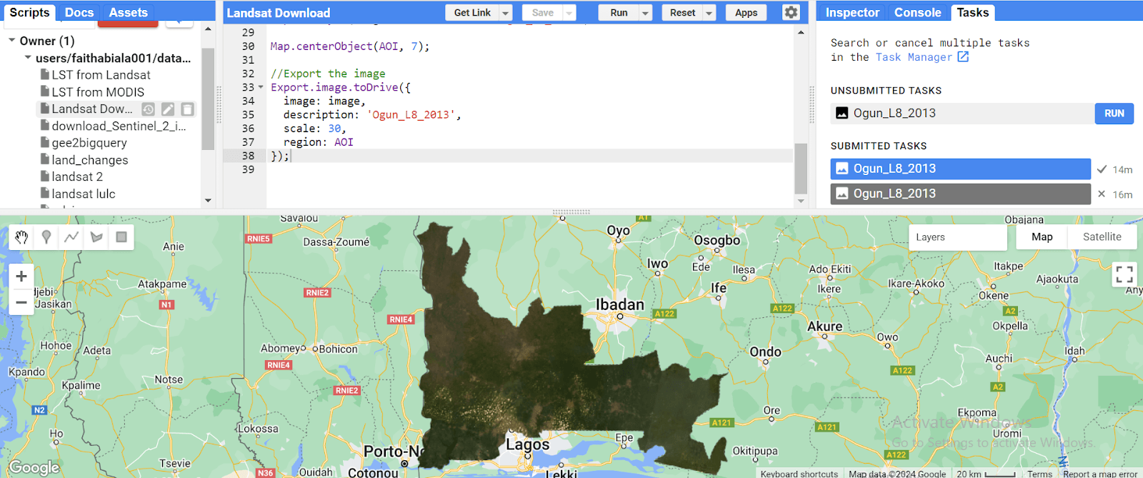
Add your DEM file to the map canvas
Data Refinement (Optional): In the geoprocessing pane's search bar, type "Fill" and click on it; this tool removes imperfections in the data.

Set the DEM as the input surface raster and specify your preferred output name and location. Click "Run" to execute the process.

Flow Direction Determination: In the geoprocessing pane's search bar, type "Flow Direction" and click on it to calculate the flow direction for each cell.

Set the refined DEM (“Fill”) (or the original DEM if refinement wasn't applied) as the input surface raster. Define the output name and location, and click "Run".

Flow Accumulation Calculation: In the geoprocessing pane's search bar, type "Flow Accumulation" and click on it to depict the accumulating water.

Choose the flow direction output from the previous step as the input flow direction raster. Specify the output name and location, and click "Run".

Stream Network Extraction: To extract streams, we will utilize the "Raster Calculator" tool. Within the calculator expression box, enter "Flow Accumulation" >= (1% of the highest flow accumulation value). This expression identifies cells with a flow accumulation exceeding 1% of the highest value, signifying potential streams. Alternatively, you can experiment with different threshold values to refine stream extraction.


Stream Order Definition: Search for the "Stream Order" tool and click on it. Select the stream output from the previous step as the input stream raster and provide the flow direction raster as well. Specify the output name and location, and click "Run" to classify the streams based on a hierarchical ranking system.

Stream Network Conversion: Search for the "Stream to Feature" tool and click on it to convert the stream raster into a vector polyline feature class, representing your actual stream network.

Drainage Density Calculation: To determine drainage density, the "Line Density" tool is used. Set the stream network feature class as the input and specify the output name and location for the drainage density raster.

In the “Environments” pane of the line density tool, use your area of study to mask; this is to represent the area that will be used for the density calculation. Click “Run” to generate the drainage density raster.

Conclusion
By following these steps, we have successfully used ArcGIS Pro to calculate the drainage density from a DEM.