Introduction
After performing a Land Use/Land Cover (LULC) classification of an area of interest, we often need to determine the area/percentage coverage of each LULC class. This information is crucial, especially in change detection analyses comparing different-year classifications.
Calculating the area for each LULC class in ArcMap is relatively straightforward. As you train your samples and run the classification, the resulting attribute table includes a count of each class, which can then be used to calculate the area and percentage of each LULC class.
However, in ArcGIS Pro, training samples and running classification don’t automatically provide the count of each class in the attribute table. So, how can we calculate the area of each class in ArcGIS Pro? That's precisely what we'll explore in this article.
If you want to learn how to perform a supervised classification in ArcGIS Pro, check out this step-by-step guide here.
Now, let’s get started!
Step 1: Raster to Polygon Conversion
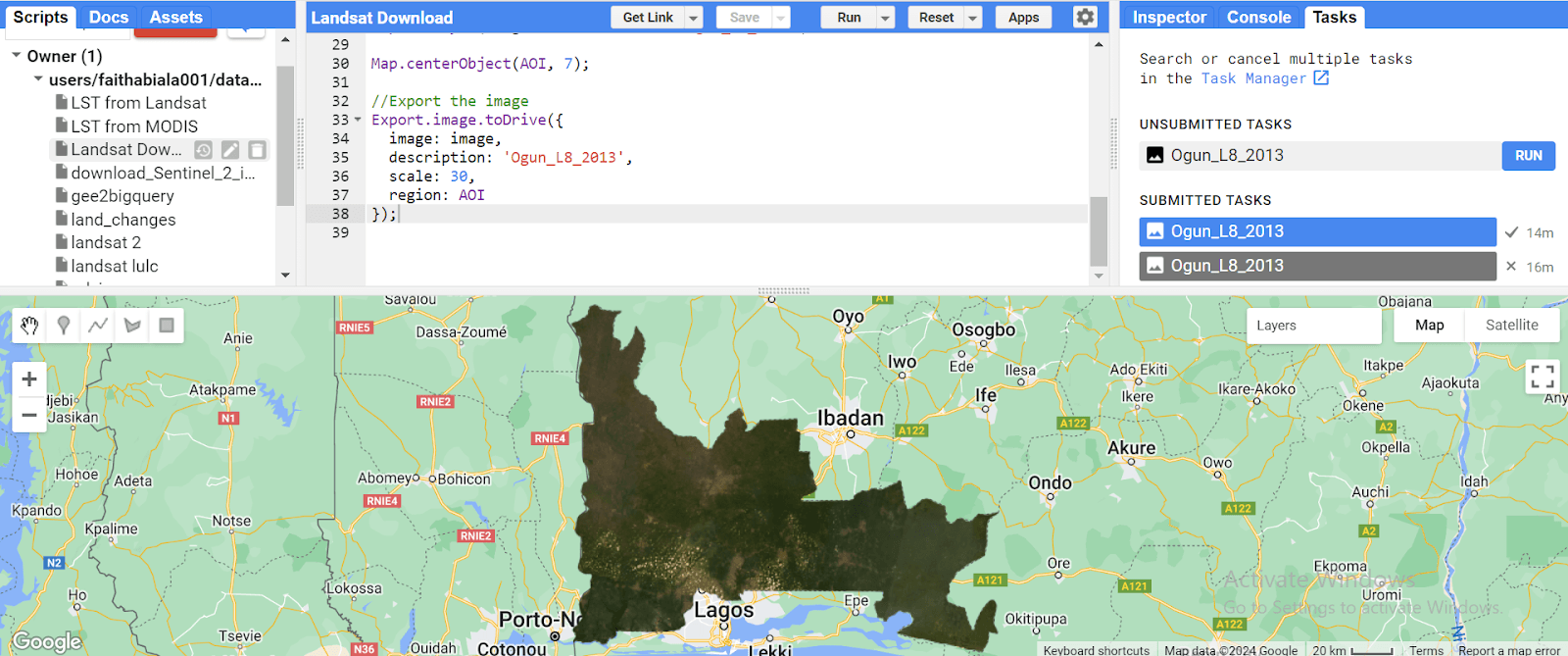
Assuming the LULC classification has already been performed, the first step is to convert the raster to a polygon:
In the Geoprocessing pane's search bar, type "Raster to Polygon" and select the tool.

Set the "Input raster" to your classified image.
Choose the field from the attribute table that describes each class (e.g., “Class_name” field).
Specify your desired output name and location, then click “Run”.

Step 2: Projecting the Converted Polygon (Optional but recommended)
Local-level analyses often benefit from working in a projected coordinate system.
Search for "Project" in the Geoprocessing Tools and select it.
Set the output coordinate system to your area of study's local datum.
Click "Run."
Step 3: Dissolving Polygons (Merging polygons of the same class)
After converting the raster to a polygon, you may notice that each class consists of multiple polygons, but we want each class represented by a single polygon. To rectify this, we need to dissolve the polygons to retain each class as one feature:
Search for "Dissolve" in the Geoprocessing tools and select it.
Set the "Input Features" to your projected polygon layer.
Specify your desired output name and location.
In "Dissolve Fields," choose the fields on which the classes will be aggregated (e.g., gridcode and class name fields).
Click “Run”.

Step 4: Calculating Area
Each LULC class is now aggregated.
Open the attribute table of the dissolved output.
Add a new field named "Area" with a data type of "Float" or "Double" for decimal area values (e.g., 300.239 sq. km) or "Long" for whole numbers (e.g., 300 sq. km).

Step 5: Calculating Geometry
With the new field added, we can now calculate the area for each class:
Right-click on the "Area" field and select "Calculate Geometry."

Choose "Area" as the property, select your preferred area unit, and set the coordinate system to the projected one you used earlier.
Click "OK."

Conclusion
By following these steps, you've successfully calculated the area of each LULC class in ArcGIS Pro.