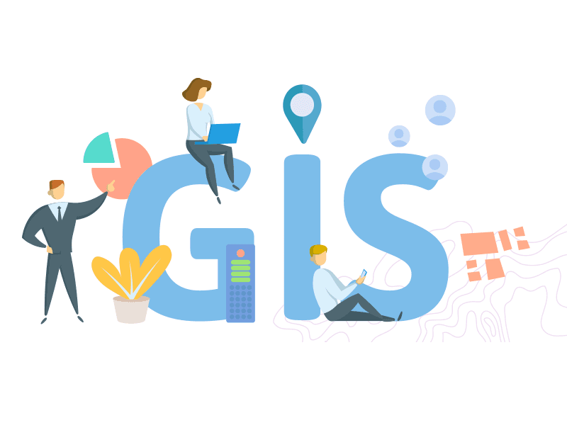

Geoinformatics and data science are two rapidly growing fields that are transforming the way we collect, process, and analyze data.
Geoinformatics involves the use of geospatial data and technology to study and manage the earth's natural resources and environment, while data science involves the use of statistical and computational methods to extract insights from complex data.
By integrating these two fields, we can unlock the power of geospatial data and leverage advanced data science techniques to make more informed decisions and better plan for the future. In this article, we will explore how geoinformatics and data science are being integrated, and the potential benefits this integration can offer.
Integrating Geoinformatics and Data Science
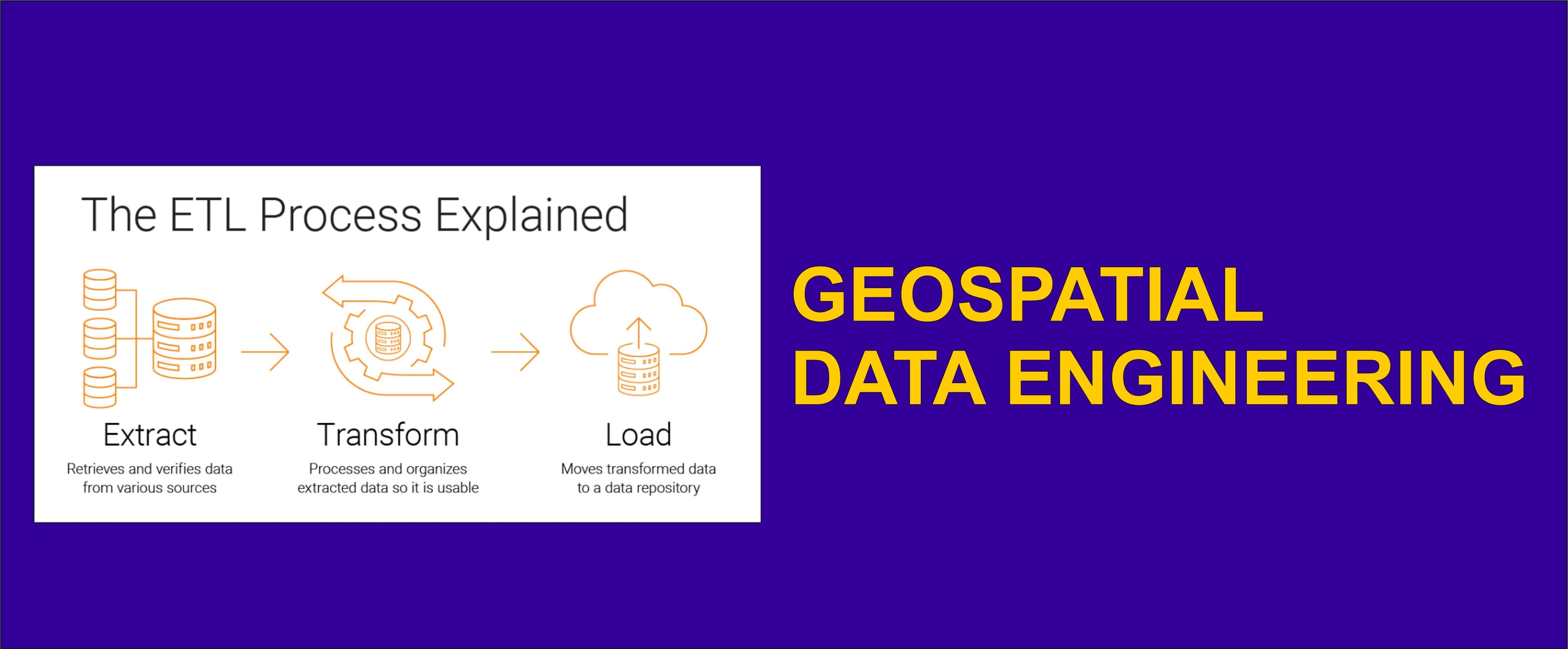
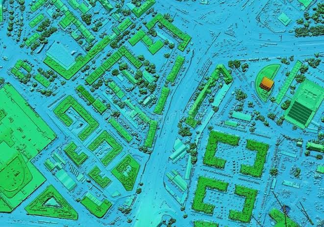
The integration of geoinformatics and data science involves applying advanced data science techniques to geospatial data. This includes everything from using machine learning algorithms to identify patterns in imagery (both Satellite and Aerial), to using natural language processing to analyze social media data for insights about public perception of environmental issues, and many other ways.
By integrating these two fields, we can unlock the full potential of geospatial data and use it to make more informed decisions and better plan for the future in the following areas:
Hazard mitigation and planning
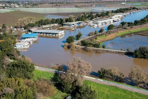
Geospatial data can be used to identify areas that are most at risk of natural disasters, such as flood-prone areas or earthquake zones. This information can be used to inform land-use planning decisions, such as where to locate critical infrastructure and how to design buildings and other structures to withstand natural disasters. Data science techniques can be used to develop predictive models of natural hazards and flooding, planners can also anticipate the impacts of future disasters and develop mitigation strategies to minimize damage and protect human life.
Site selection analysis
Geospatial data can be used to identify potential sites for new construction projects, such as residential developments or commercial buildings. By using data science techniques to analyze geospatial data, planners can evaluate the suitability of different sites based on factors such as soil stability, slope, and proximity to natural hazards. This can help to ensure that new buildings are located in areas that are less vulnerable to natural disasters and have the necessary infrastructure to support them.
Building performance analysis
Geospatial data can be used to evaluate the performance of existing buildings under different environmental conditions. By using data science techniques to analyze geospatial data, planners can evaluate the energy efficiency of buildings, their susceptibility to natural hazards, and other factors that affect their performance.
Urban growth modeling
Geospatial data can be used to model urban growth and evaluate the suitability of different areas for future development. By using data science techniques to analyze geospatial data, planners can evaluate the potential impact of urban growth on natural resources, infrastructure, and the environment.
In conclusion, the integration of geoinformatics and data science offers a powerful tool for assessing building suitability and mitigating the risks of natural disasters.
This article discusses a few application areas where the integration of Geoinformatics and Data Science can improve decision-making and planning. If I have overlooked any important areas where geoinformatics and decision-making can collaborate, please feel free to share them in the comments section so that we can learn together..
If you found this article helpful, give it a like🤍.
🥰🥰🥰