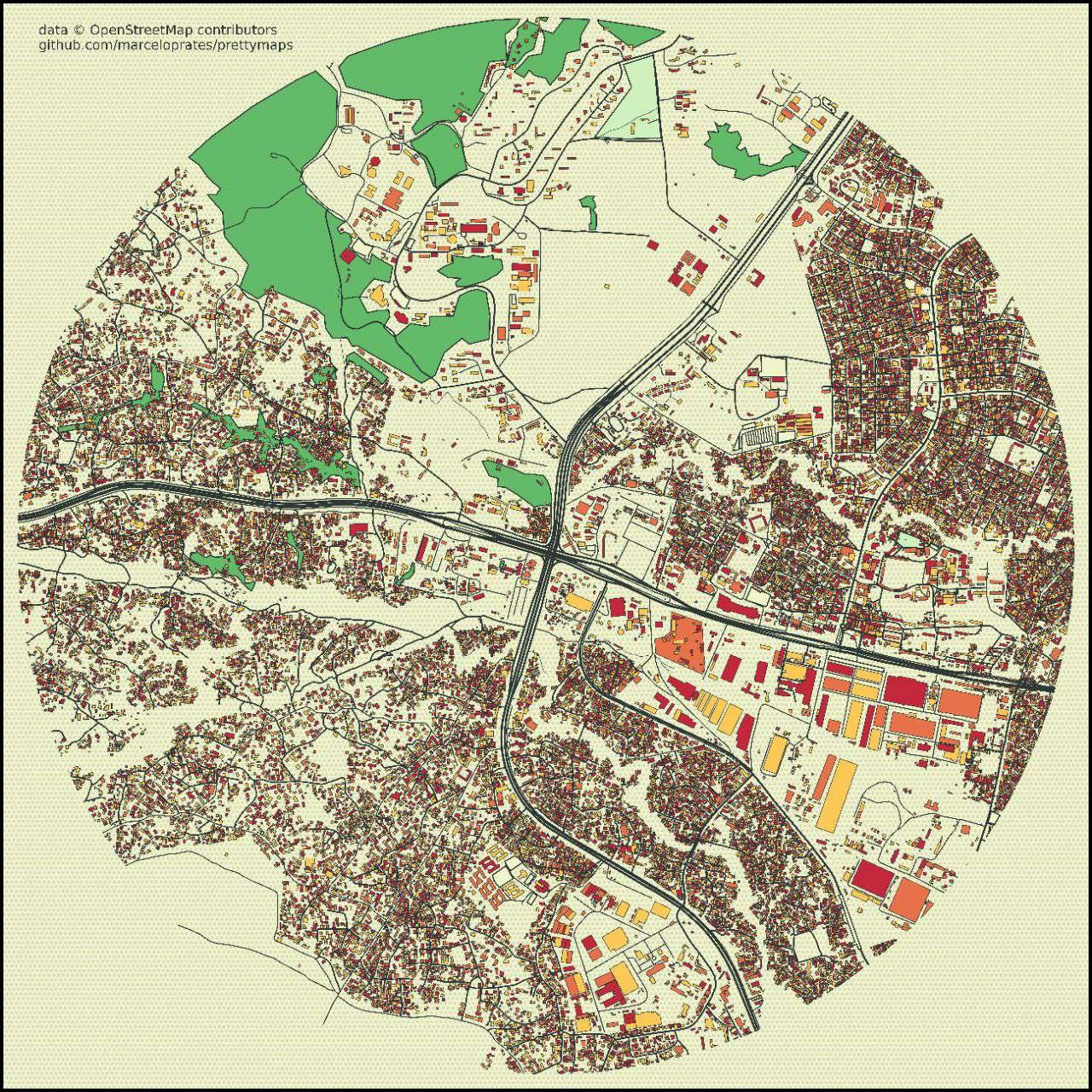
bomet regional context maps

_1708284.png&w=3840&q=100)
Tools used
ArcMap
tags
CARTO
_2100075.png&w=3840&q=100)

You might also like


_SK%2520(1).jpg&w=3840&q=100)


Join the community!
We're a place where geospatial professionals showcase their works and discover opportunities.
bomet regional context maps
You might also like
We're a place where geospatial professionals showcase their works and discover opportunities.