
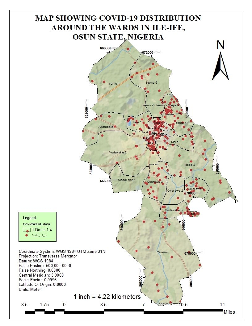
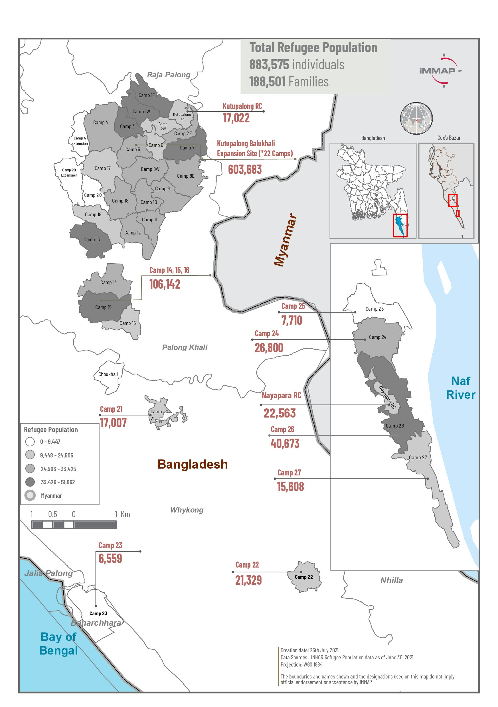
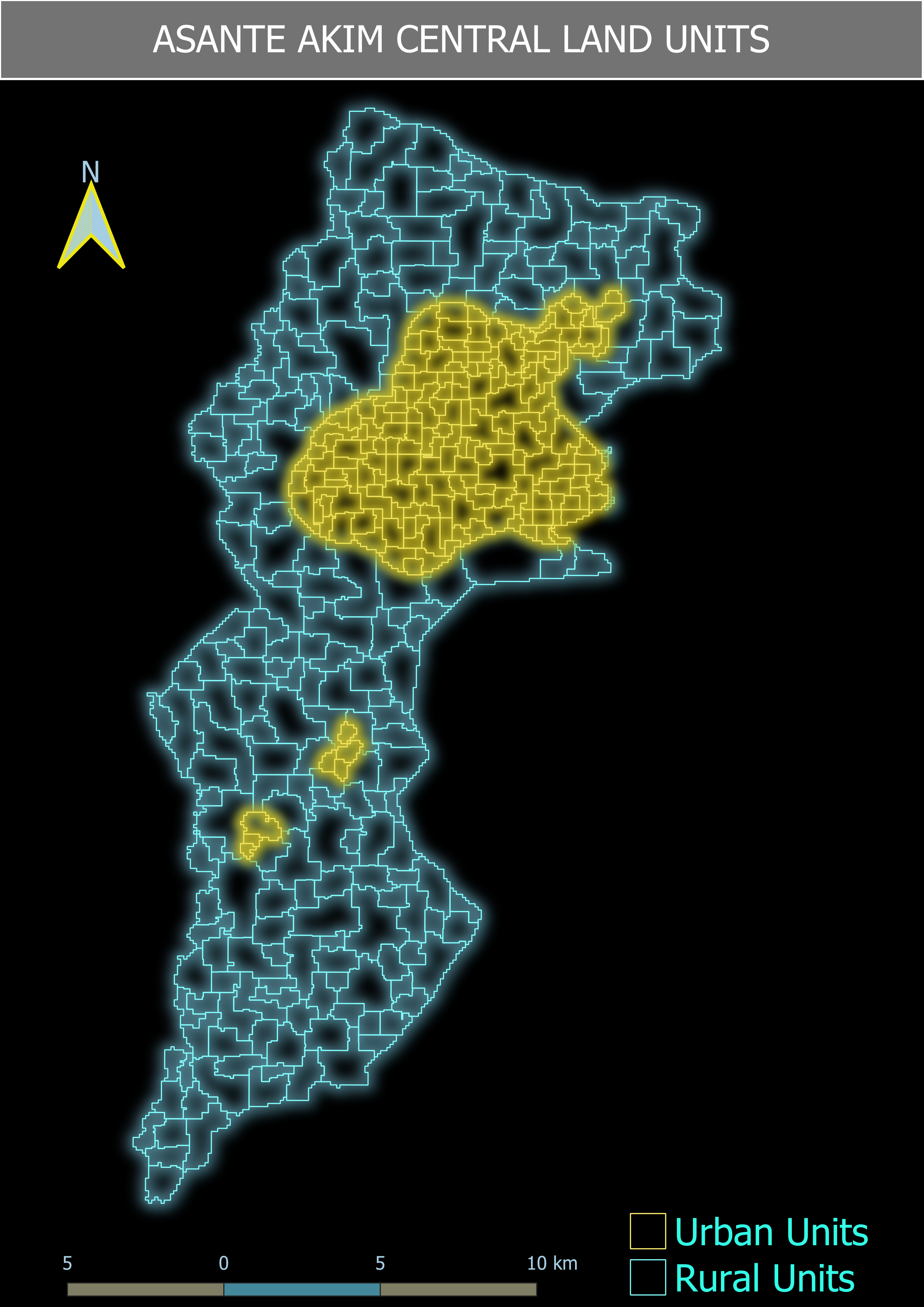
This project investigated the geospatial distribution of COVID-19 cases in Ile-Ife, Osun State, Nigeria. The data was retrieved from the National Center for Disease Control. From here, the data was then recorded in WPS Excel and joined with the attribute table of a map of Ile-Ife.
COVID-19 DISTRIBUTION MAP
Tools used
ArcMapExcel
Plug-ins used
ArcGISSpatial analyst
tags
ArcMapCOVID-19 NigeriaPandemic
More by Oswald Onimhawo


You might also like


Join the community!
We're a place where geospatial professionals showcase their works and discover opportunities.