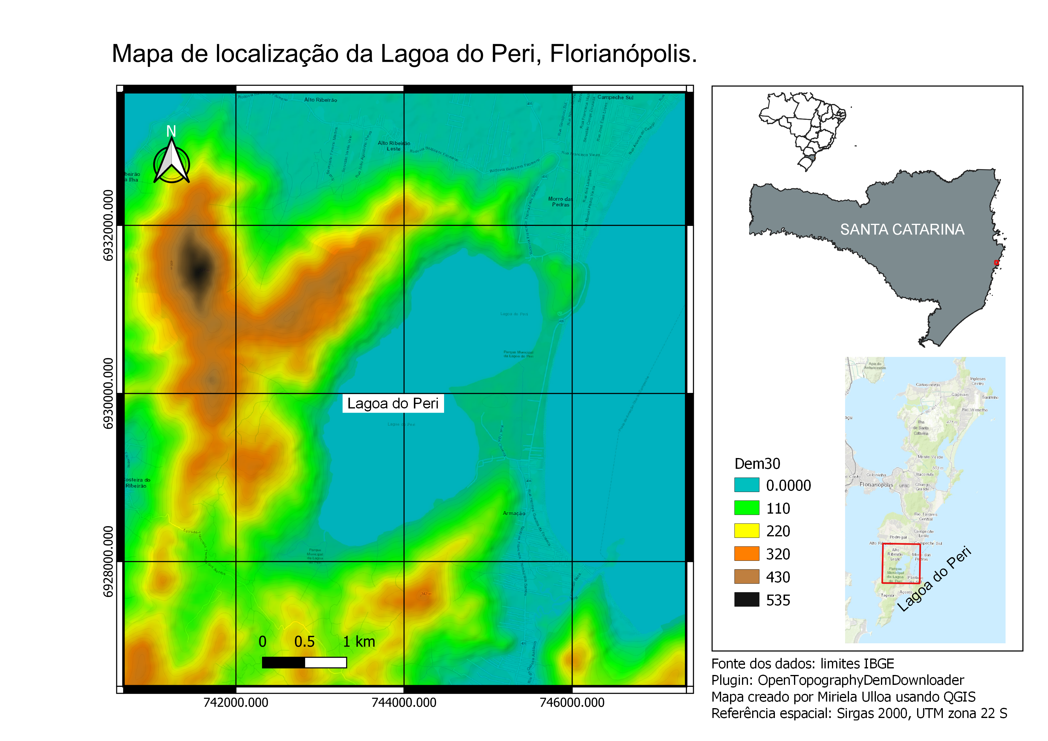
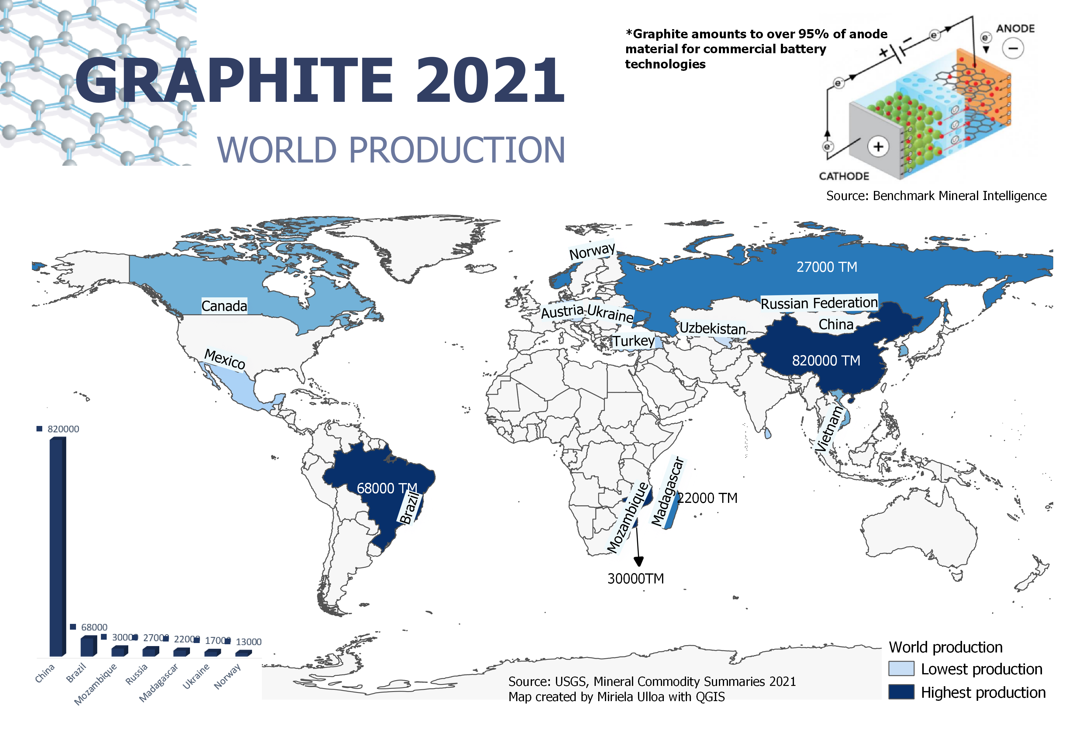
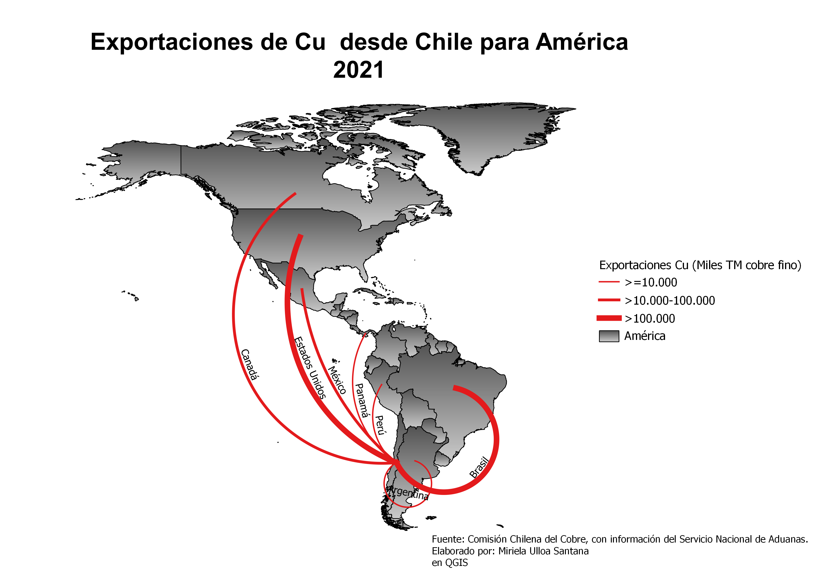
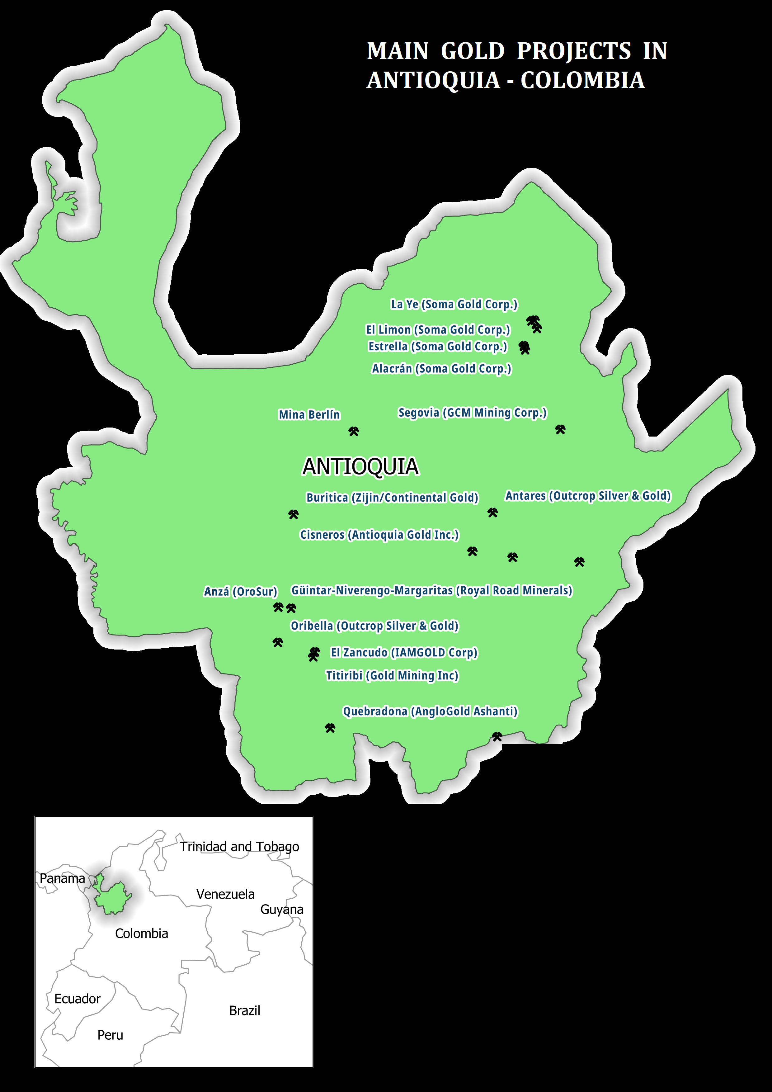
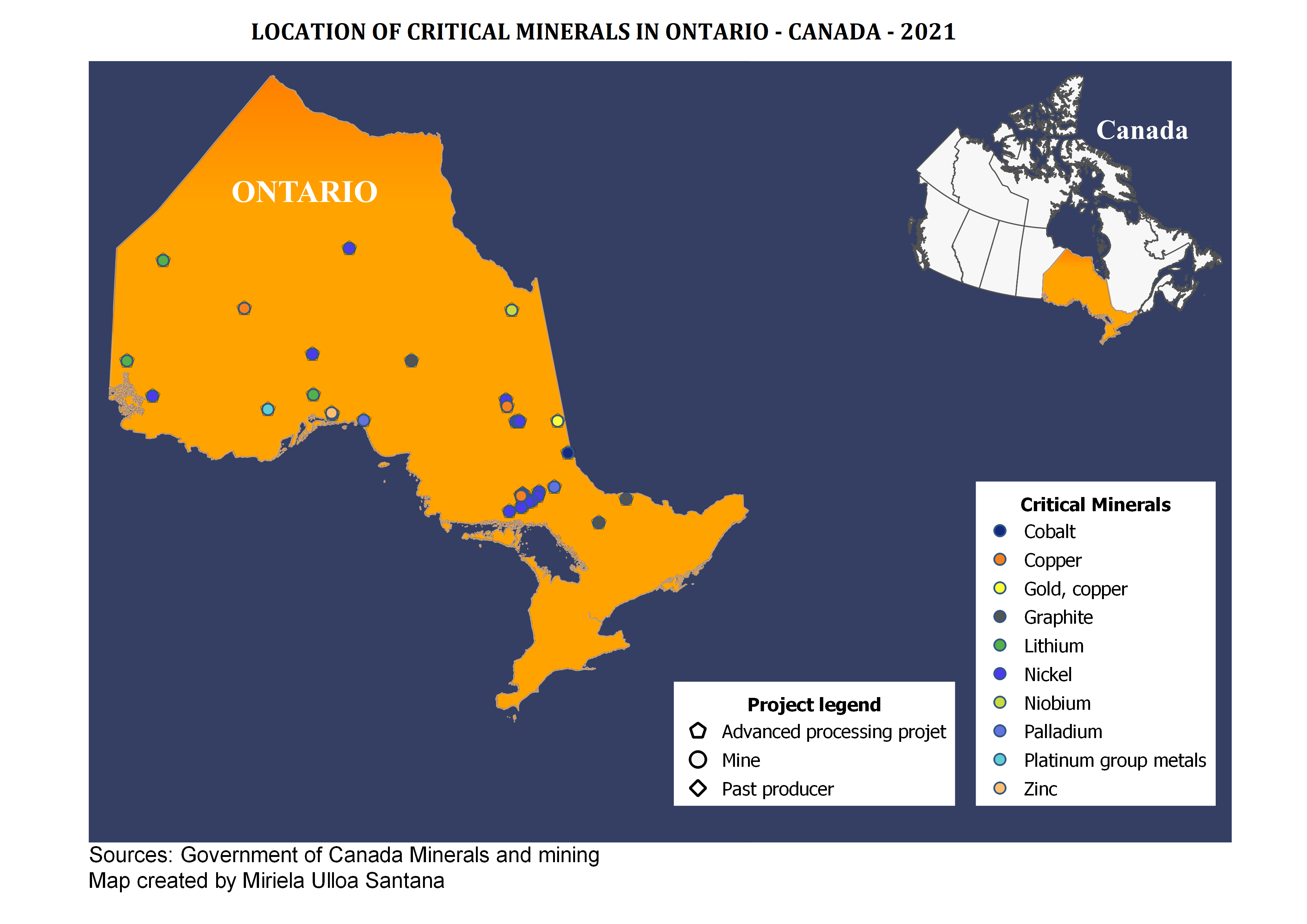
Mapa de localização da Lagoa do Peri.

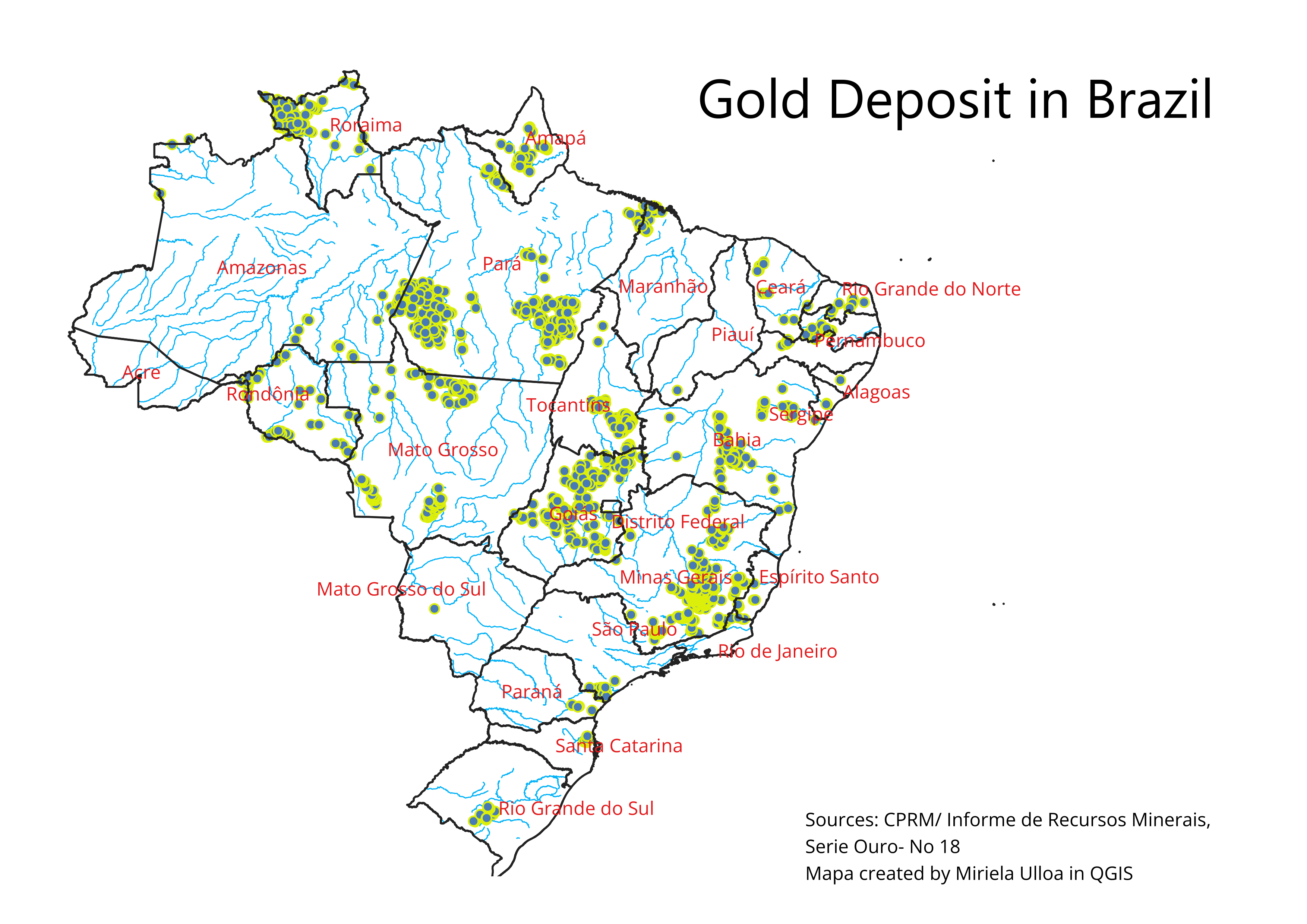
Tools used
Google MapQGIS
Plug-ins used
OpenTopographyDEMDownloader
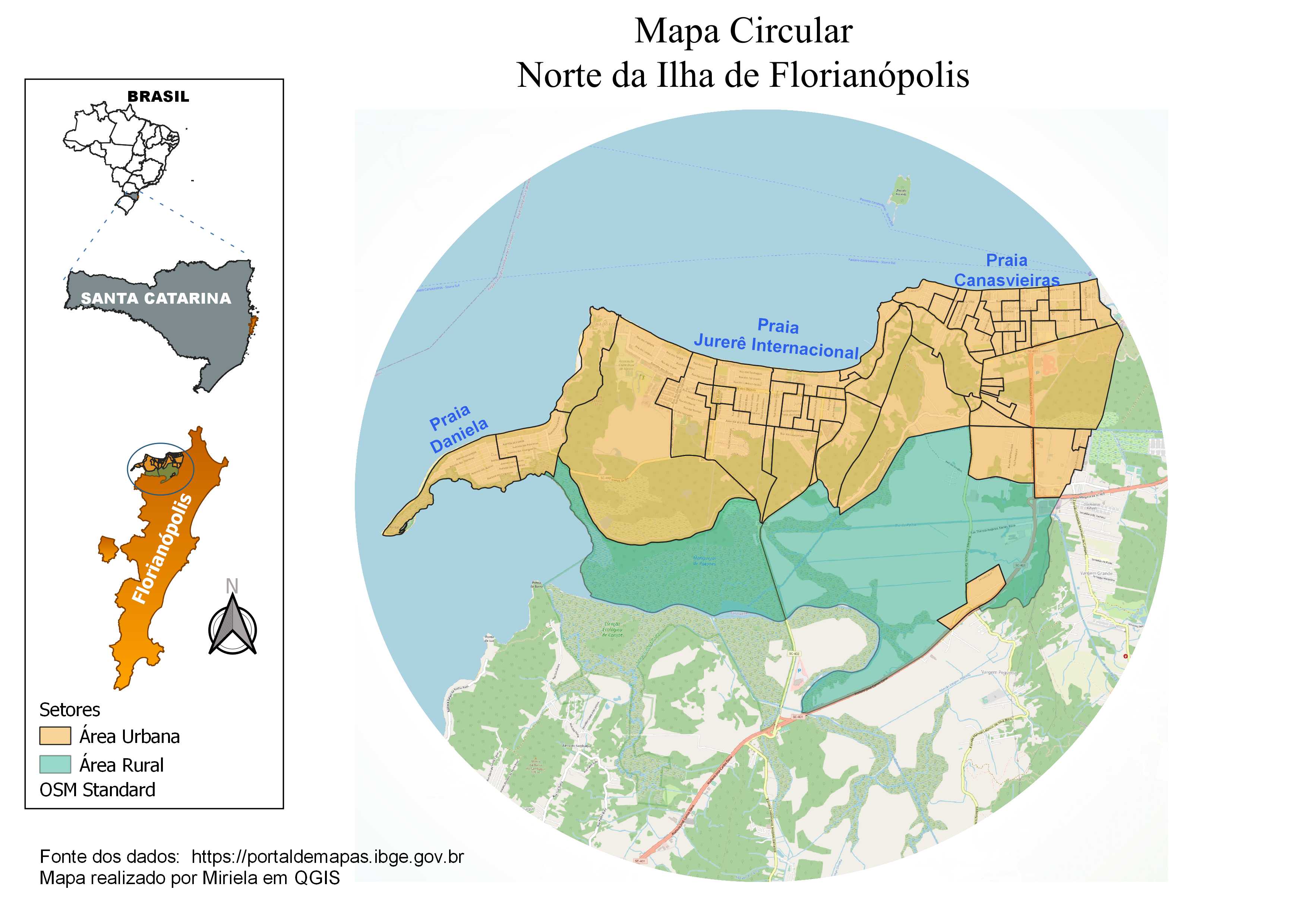
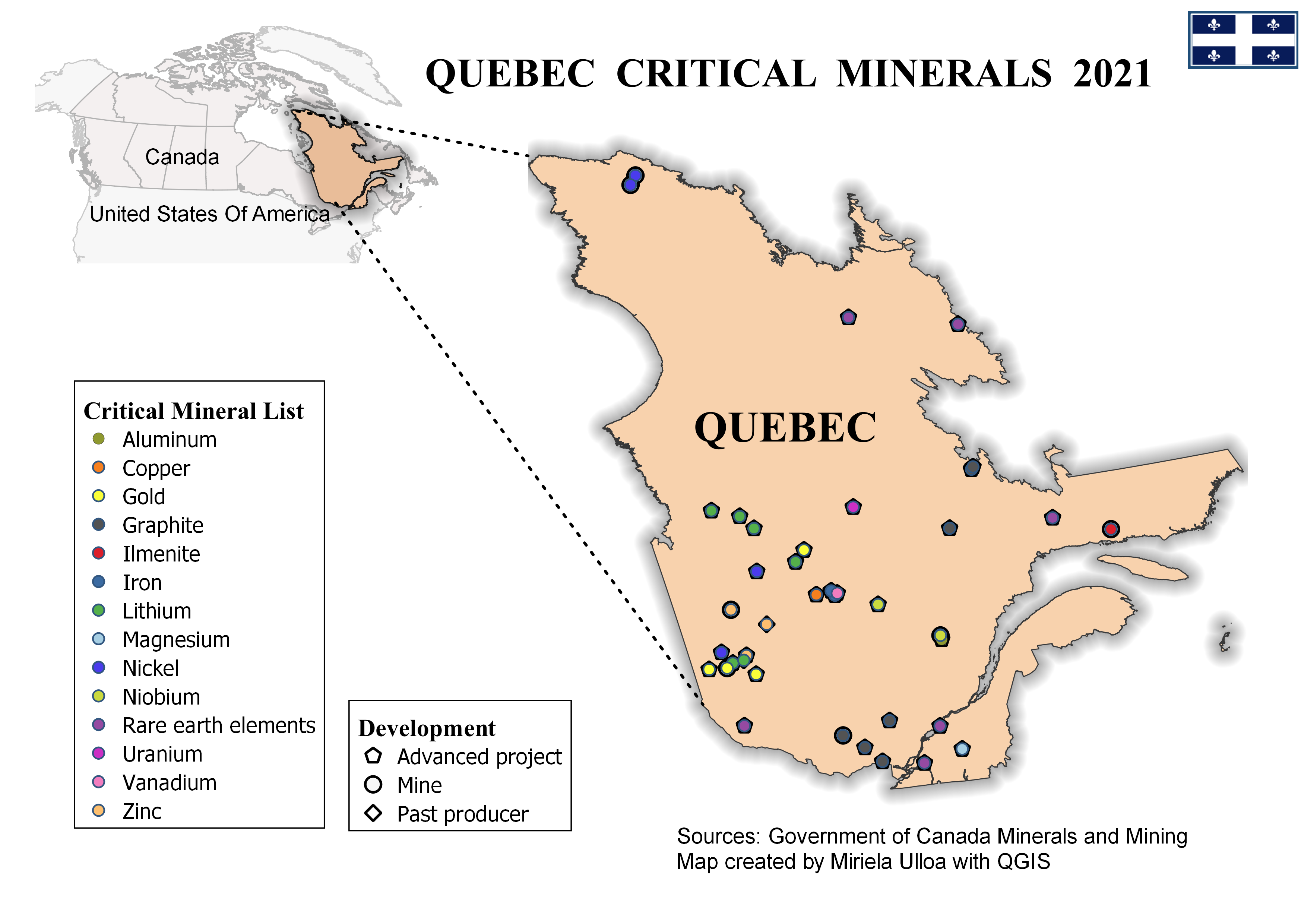
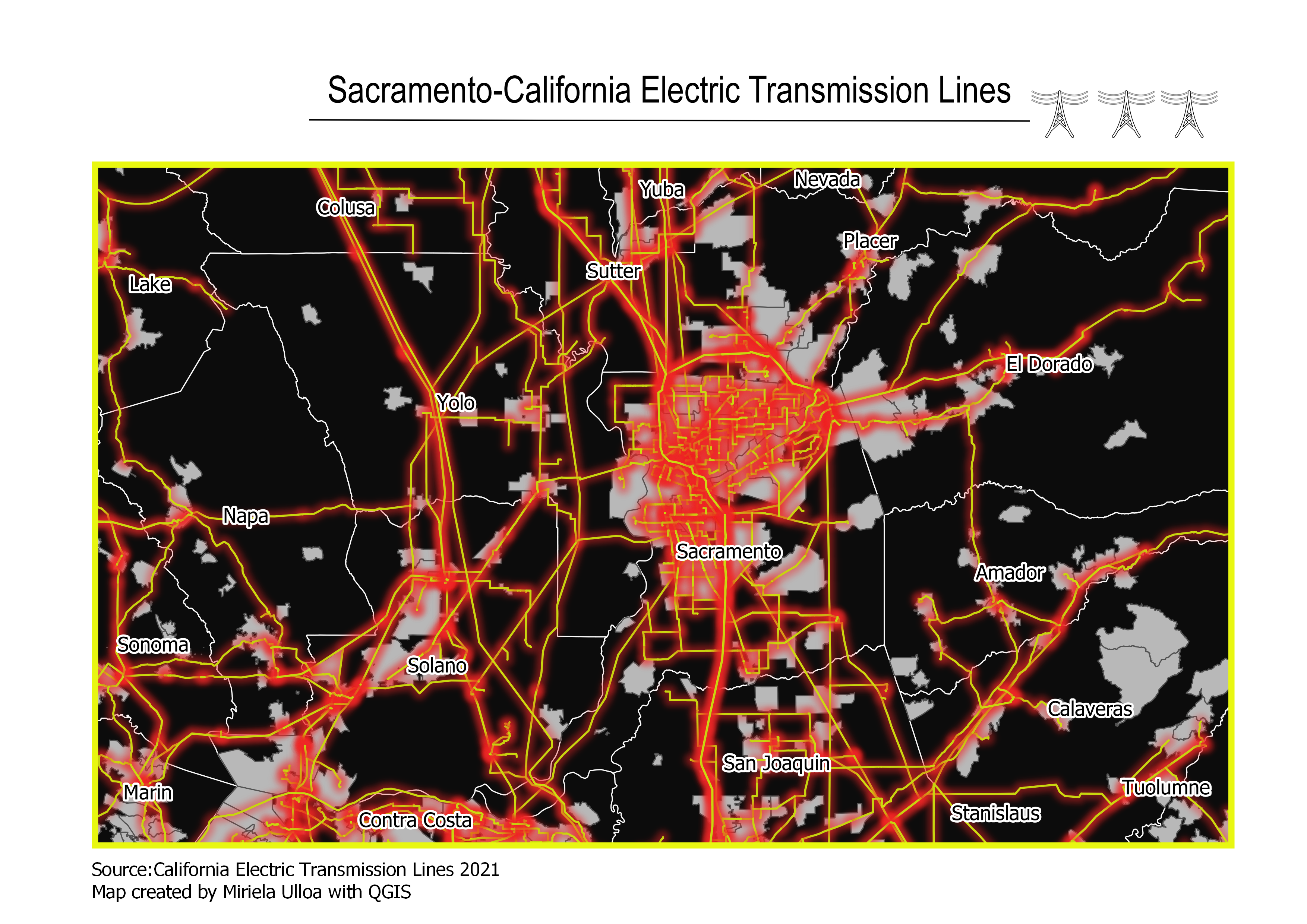
More by Miriela Ulloa Santana


You might also like


Join the community!
We're a place where geospatial professionals showcase their works and discover opportunities.