Sign up or log in to your Spatialnode account.

Takes less than a few seconds.

Fire Districts

Adam O Dolce
Adam O Dolce•

November 12, 2022

Fire Districts

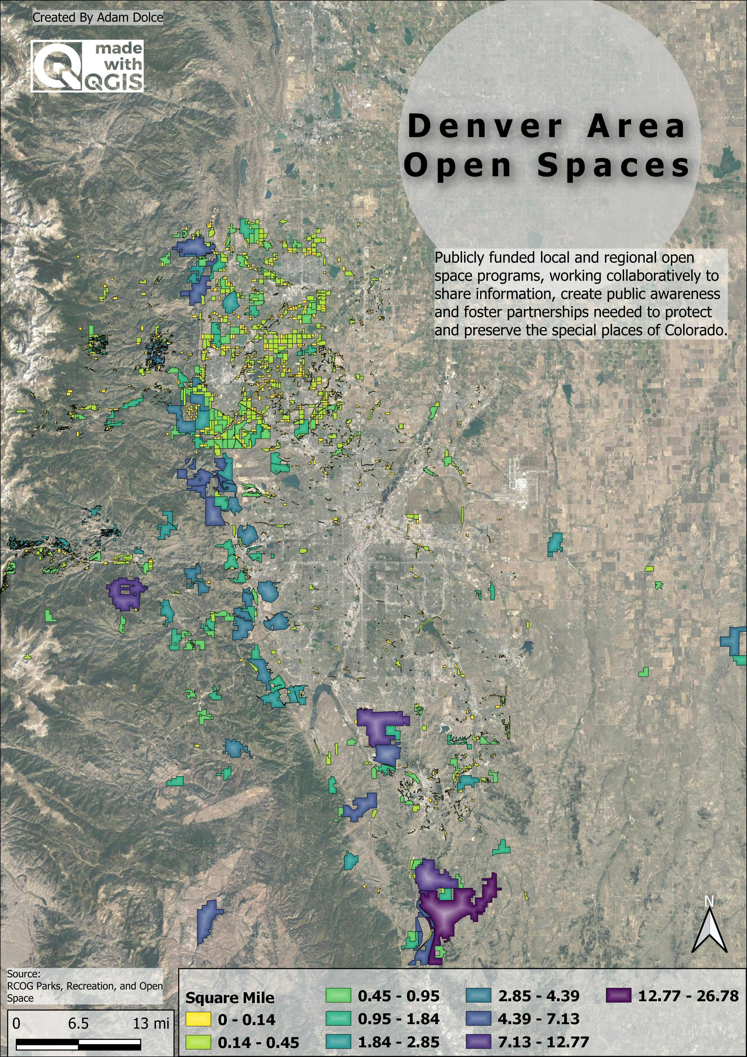
Color Friday: Red, Day 11 of the 30-day map challenge.


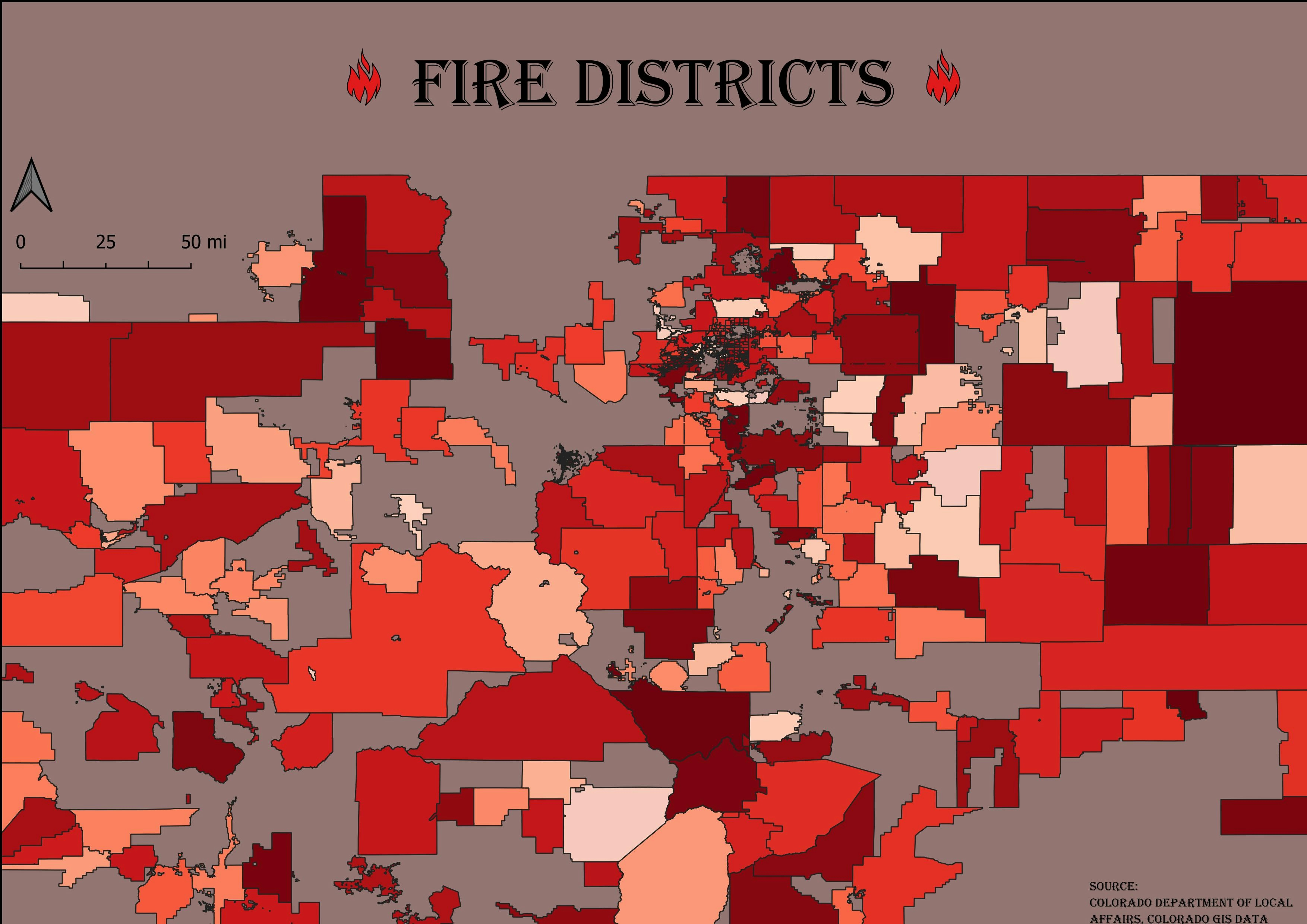
The polygons represent the defined fire districts within Colorado.


#day11 #red #30daymapchallenge


Tools used

QGIS

Plug-ins used

QGIS

tags

#30DayMapChallenge

More by Adam O Dolce

Telluride in Blue
Telluride in Blue
24
EZ Waste Landfill Site Proposal
299
Bike Paths
Bike Paths
20
Roughness
Roughness
41
Open Spaces
Open Spaces
71
EVSE Charging Stations
74
EVSE Locations in Wenatchee
25
Colorado County Population
74
Kiev Vegetation
Kiev Vegetation
74
Denver Center
Denver Center
77
Registered EV Owners
91
Rivers
Rivers
56

You might also like

SEVERIDAD DE INCENDIOS Y FOCOS DE CALOR
GUSTAVO ABEL CACERES MARTINEZ
SEVERIDAD DE INCENDIOS Y FOCOS DE CALOR
GUSTAVO ABEL...
6
Hazardous Level at Glacier National Park
Jason Boatjri
Hazardous Level at Glacier National Park
Jason Boatjri
25
Multidimensional Raster Predictive Model
Zach Torres
Multidimensional Raster Predictive Model
Zach Torres
82
Mapa temático
jucelino dos santos
Mapa temático
jucelino dos santos
5
Análise de usos do solo - Norte Pioneiro
João Gabriel Feriato do Nascimento
Análise de usos do solo - Norte Pioneiro
João Gabriel...
13
Supervised classification image of Hall County, Georgia
Kolawole Arowoogun
Supervised classification image of Hall County, Georgia
Kolawole Arowoogun
253
Produção de laranja Estado de São Paulo
Gabriel Martins Corrêa
Produção de laranja Estado de São Paulo
Gabriel Martins Corrêa
19
Average Electricity Access Rural Areas
Jonathan Correa Varela
Average Electricity Access Rural Areas
Jonathan Correa Varela
14
Dancing City
Alexa Cristina
Dancing City
Alexa Cristina
27
Mapa de Declividade de Garanhuns-PE
Carlos Alberto
Mapa de Declividade de Garanhuns-PE
Carlos Alberto
8
Estimating Timber Volume with LIDAR
Moez Labiadh
Estimating Timber Volume with LIDAR
Moez Labiadh
1.5K
Mapa Hipsométrico do Pico do Roncador
Matheus Sá
Mapa Hipsométrico do Pico do Roncador
Matheus Sá
17

Join the community!

We're a place where geospatial professionals showcase their works and discover opportunities.

Sign Up for free