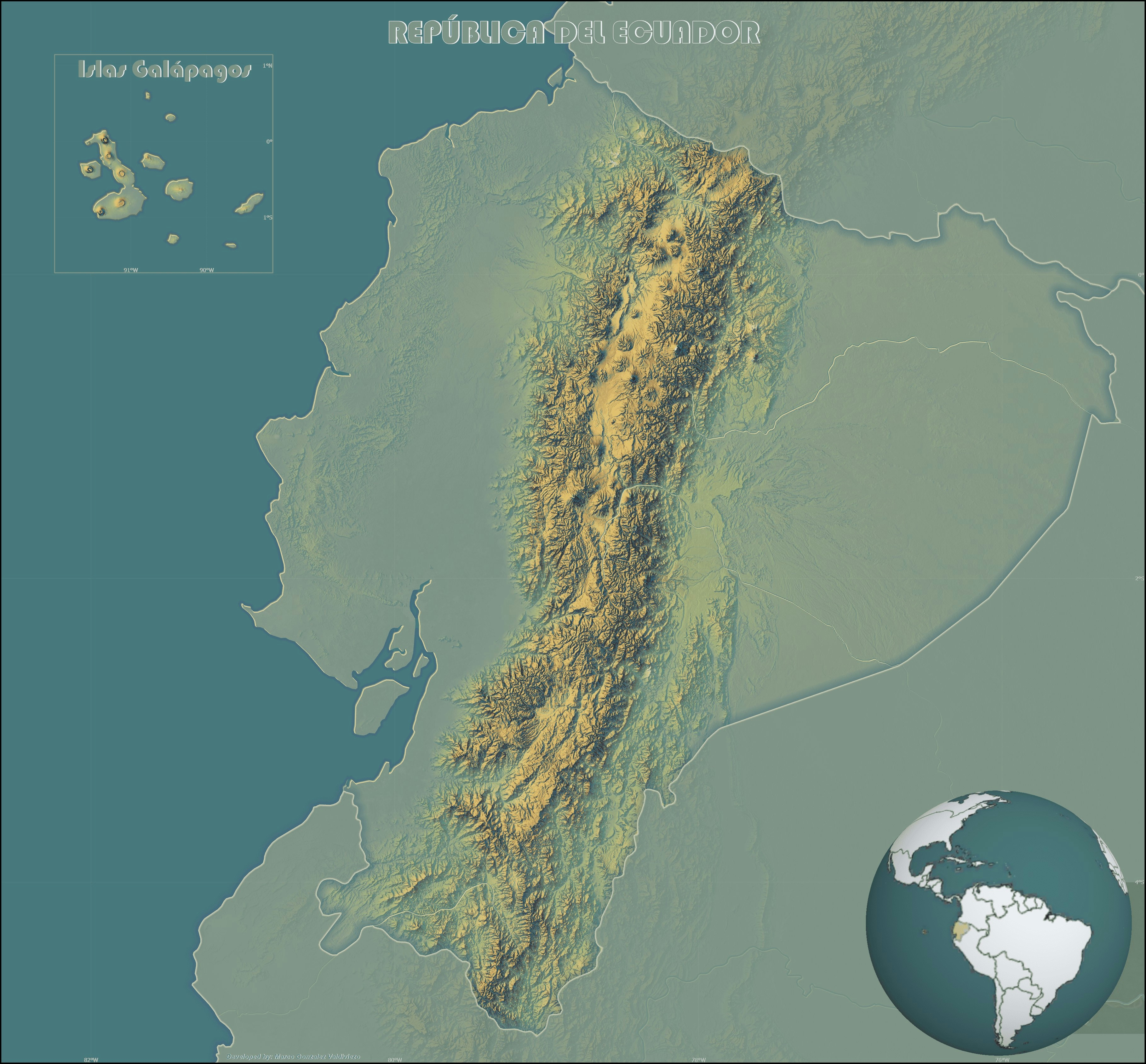
This map was made in ArcGIS Pro.
It shows the elevation of the Republic of Ecuador using the Imhof style developed by John Nelson.
Elevation map of the Ecuador
This map was made in ArcGIS Pro.
It shows the elevation of the Republic of Ecuador using the Imhof style developed by John Nelson.
You might also like
We're a place where geospatial professionals showcase their works and discover opportunities.