Map Production Using Python

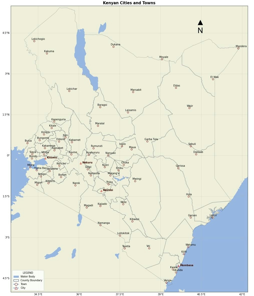
Tools used
Python
Plug-ins used
cartopyMatplotlib
tags
CartographyGIS
More by Amon Melly

You might also like


Join the community!
We're a place where geospatial professionals showcase their works and discover opportunities.