Mapa de produção de trigo


Tools used
QGIS
tags
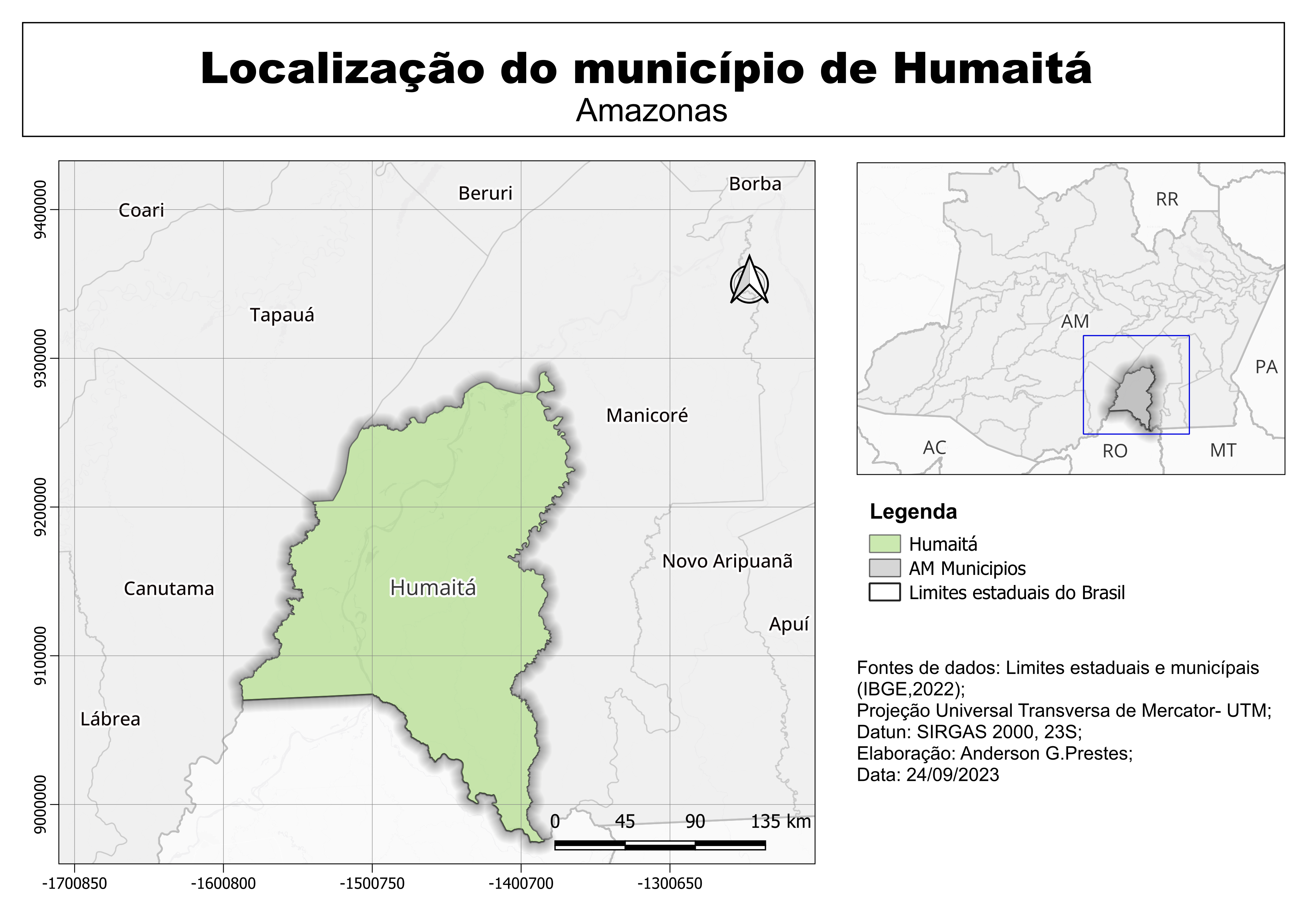
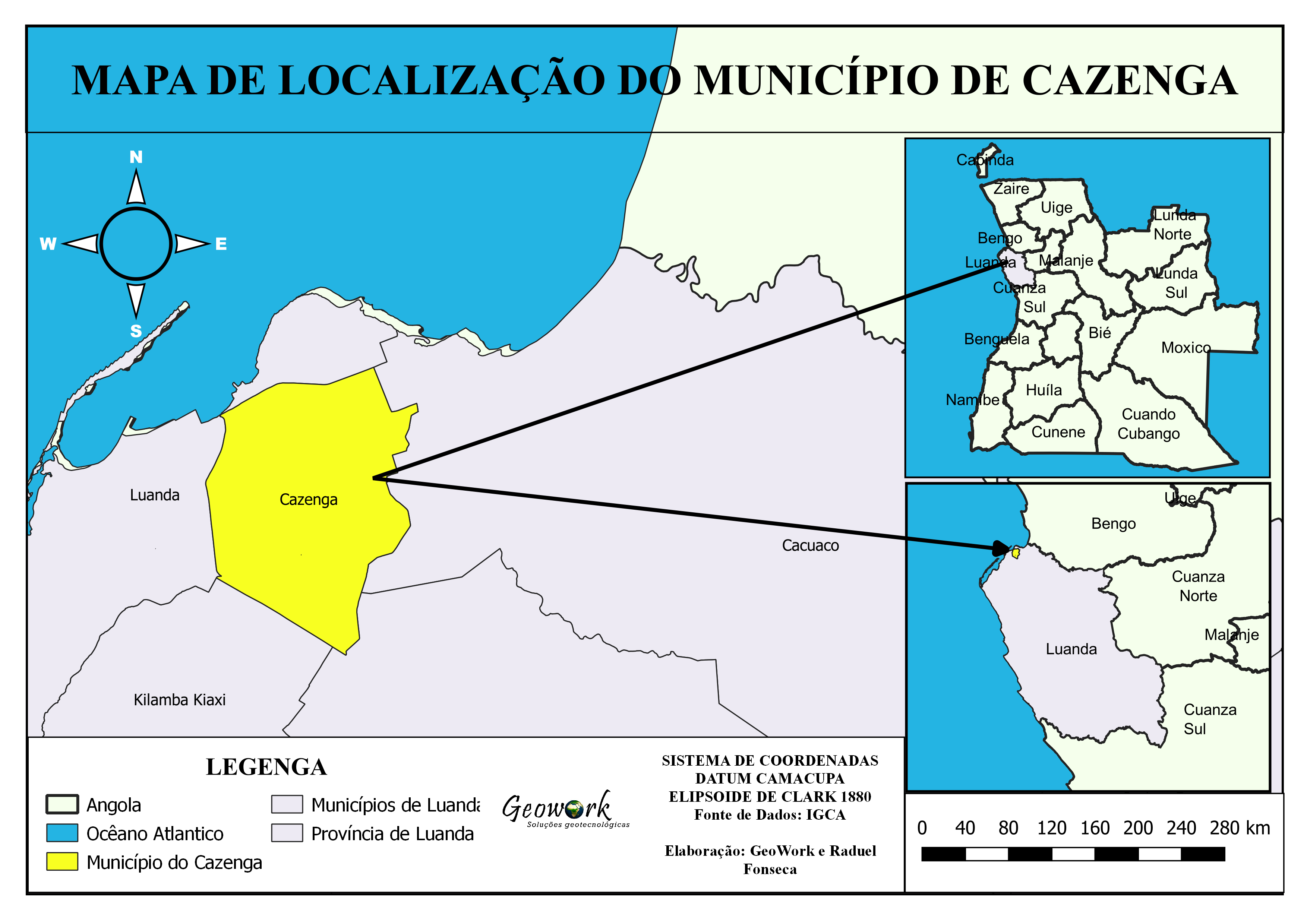
Localização
You might also like


Join the community!
We're a place where geospatial professionals showcase their works and discover opportunities.
Mapa de produção de trigo
You might also like
We're a place where geospatial professionals showcase their works and discover opportunities.