Sign up or log in to your Spatialnode account.

Takes less than a few seconds.

Mount Tuk

Seth Frame
Seth Frame•

July 07, 2022

Mount Tuk

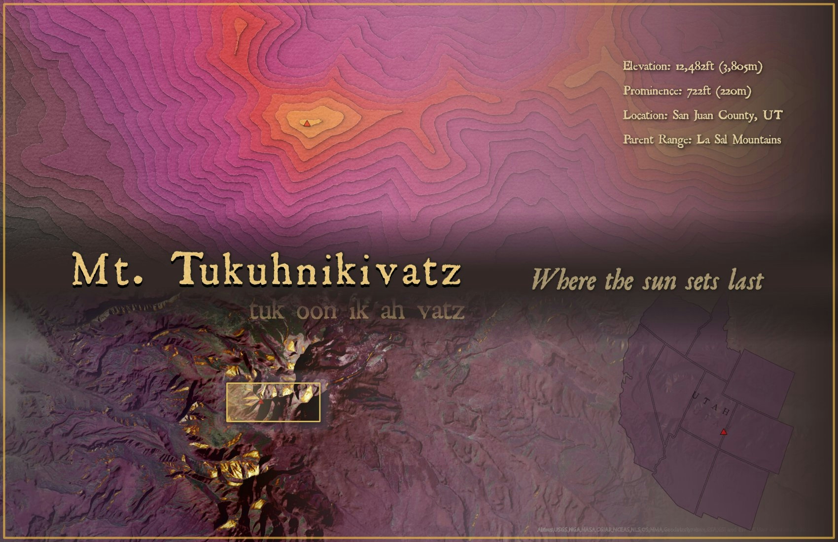
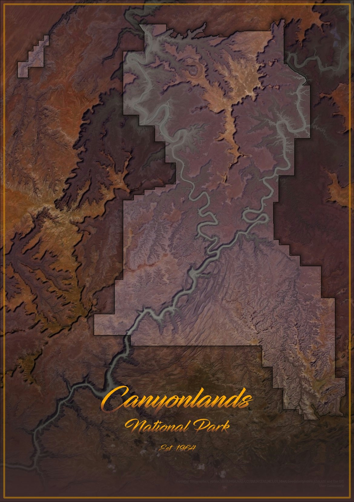
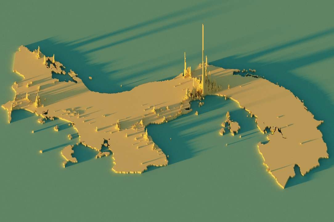
This is a heavily stylized map showing Mt. Tukuhnikivatz in Utah. It makes use of the "Sunrise" and "Papercut" styles created by John Nelson


Tools used

ArcGIS Pro

Plug-ins used

ArcGIS Pro

tags

ArcGIS ProArtCartography#mappychallenge

More by Seth Frame

St. Joe County Contours
93
Map of The Log from the Sea of Cortez
328
Great Sand Dunes, CO
122
Channel Islands National Park, CA
127
Canyonlands National Park, UT
177

You might also like

Street Map Art, Mainland LGA, Lagos, NGA
Bamidele Daniel Ohinoyi
Street Map Art, Mainland LGA, Lagos, NGA
Bamidele Daniel Ohinoyi
316
Map Re-draw/Facelift
Oladeji Muhammed
Map Re-draw/Facelift
Oladeji Muhammed
56
LAND SURFACE TEMPERATURE OF EGBEDA L.G
Rafiu, Kawiyu Omomayowa
LAND SURFACE TEMPERATURE OF EGBEDA L.G
Rafiu, Kawiyu Omomayowa
32
3D Forested Ski Resort
Ryan Shields
3D Forested Ski Resort
Ryan Shields
26
GPS Interval Dataset visualization
alyle5@charlotte.edu
GPS Interval Dataset visualization
alyle5@charlotte.edu
14
NDMI - Guarapari (ES)
Gabriel Martins Corrêa
NDMI - Guarapari (ES)
Gabriel Martins Corrêa
9
Land Cover Mapping with Python
Bertrand Lobo
Land Cover Mapping with Python
Bertrand Lobo
109
Fire Station Response Time
Niroj Shrestha
Fire Station Response Time
Niroj Shrestha
41
Georeferencing Lord of the Rings
Luana Moraes Costa
Georeferencing Lord of the Rings
Luana Moraes Costa
42
Addition New Updates In Heliopolis
Mohamed Gamal Hassan Mahmoud
Addition New Updates In Heliopolis
Mohamed Gamal...
44
Uso e ocupação do solo
Vitória Serra Bernardes
Uso e ocupação do solo
Vitória Serra Bernardes
149
Sistema Hidrográfico Simplificado
Ariel Horst
Sistema Hidrográfico Simplificado
Ariel Horst
9

Join the community!

We're a place where geospatial professionals showcase their works and discover opportunities.

Sign Up for free