
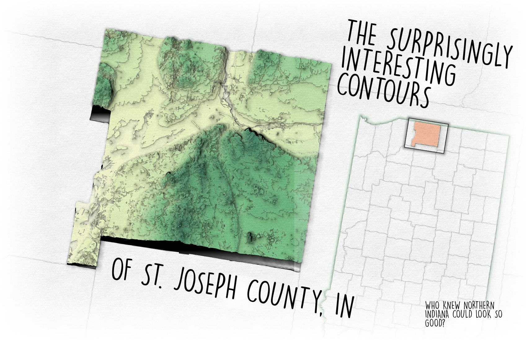
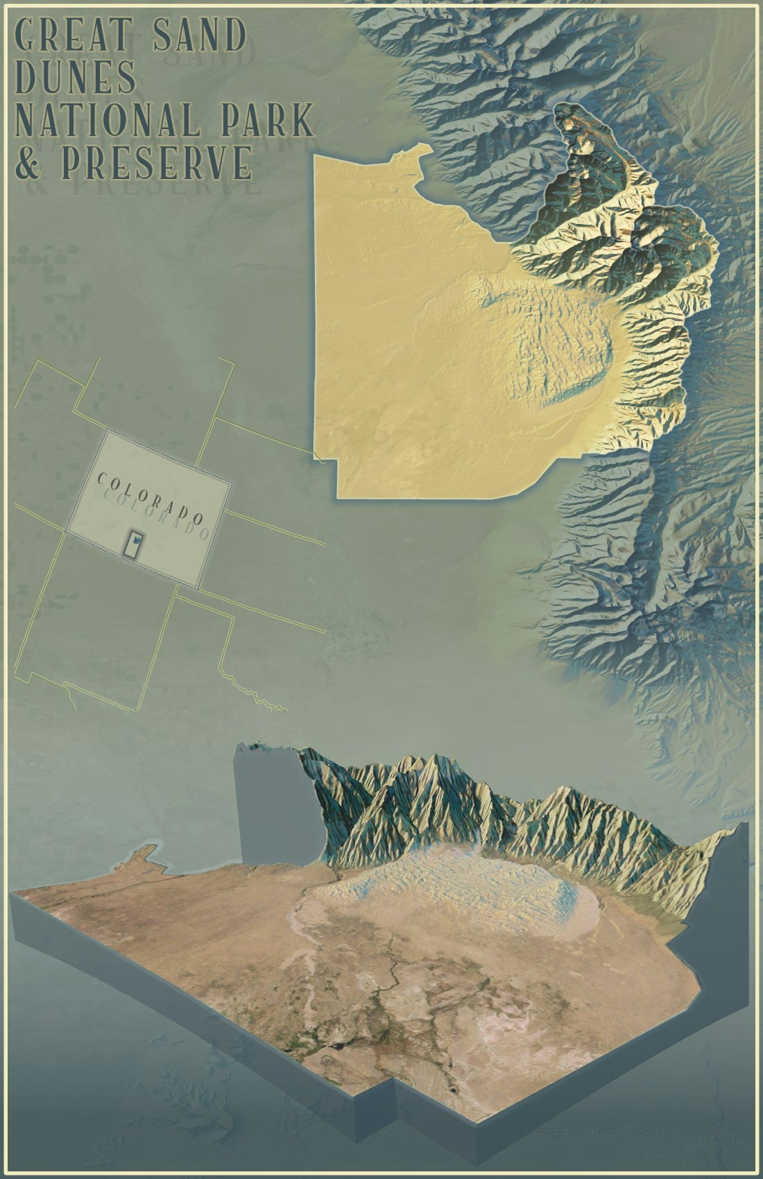
For this map I created contours of my home county of St. Joseph, Indiana. I then distorted the polygons in a way that better highlights the differences in elevation. This is all then symbolized using the "Papercut" style by ESRI's John Nelson
St. Joe County Contours
Tools used
ArcGIS Pro
Plug-ins used
ArcGIS Pro
tags
ArcGIS ProCartography#gismapping#mappychallenge
More by Seth Frame

You might also like


Join the community!
We're a place where geospatial professionals showcase their works and discover opportunities.