

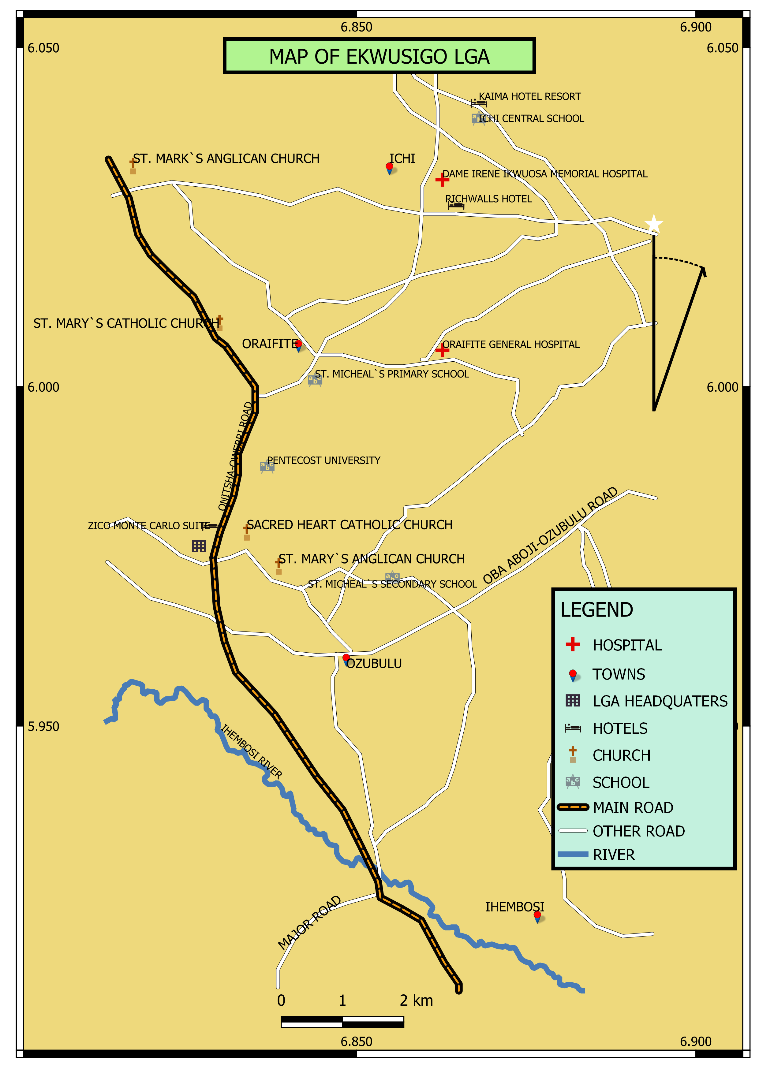
I extracted Kogi state from the Nigerian shapefile using the intersect feature under vector tools and continued editing on QGIS to show the Idah Education Zone.
Map of Kogi State
Plug-ins used
OpenStreetMap
tags
Kogi NigeriaNorthCentral Nigeria
More by Chukwulobe Martins Ugonna


You might also like

.jpg&w=3840&q=100)


Join the community!
We're a place where geospatial professionals showcase their works and discover opportunities.