Sign up or log in to your Spatialnode account.

Takes less than a few seconds.

Contour map of Enugu State, Nigeria

Chukwulobe Martins Ugonna
Chukwulobe Martins Ugonna•

February 13, 2023

Contour map of Enugu State, Nigeria

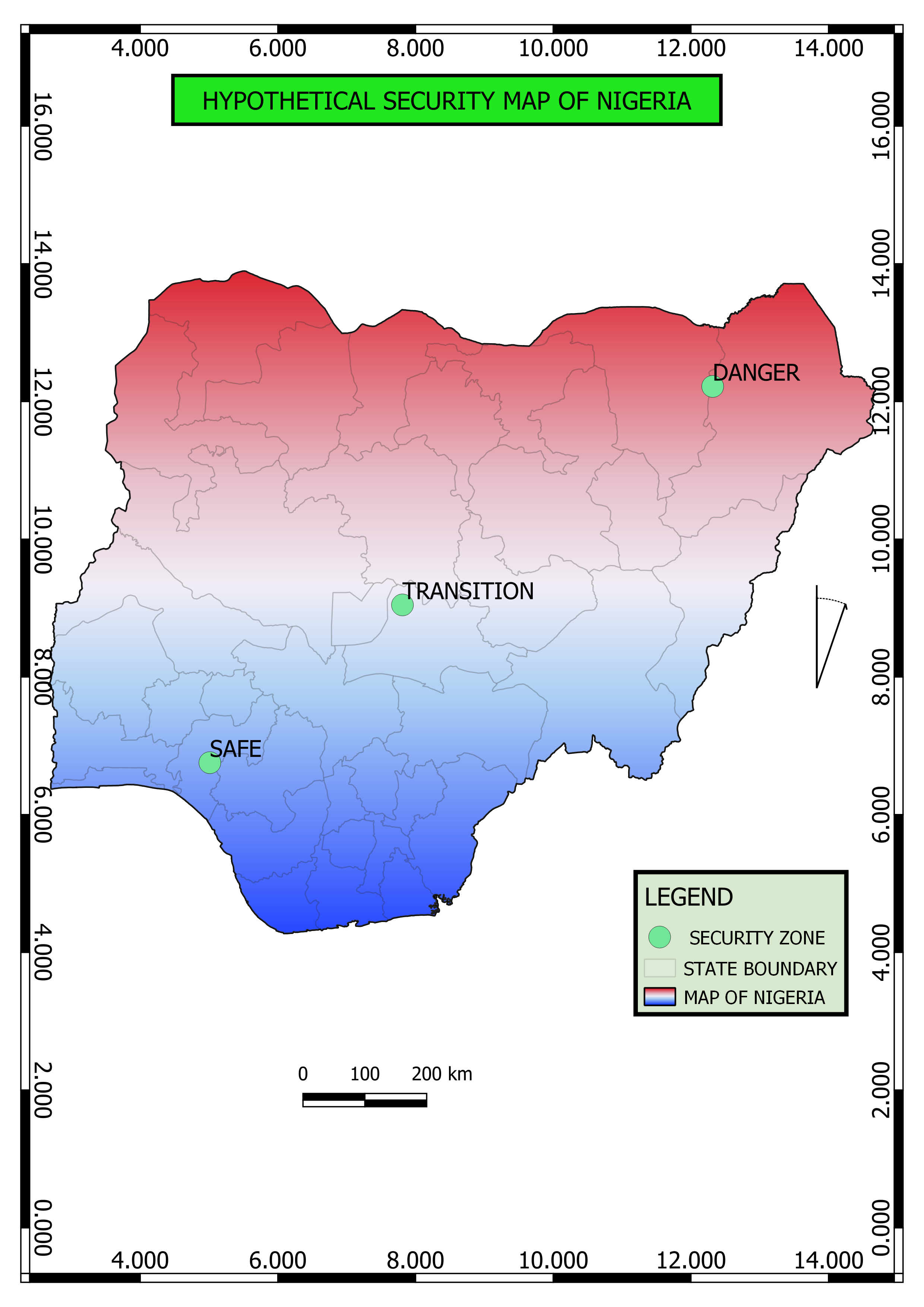
QGIS and the DEM of Nigeria 
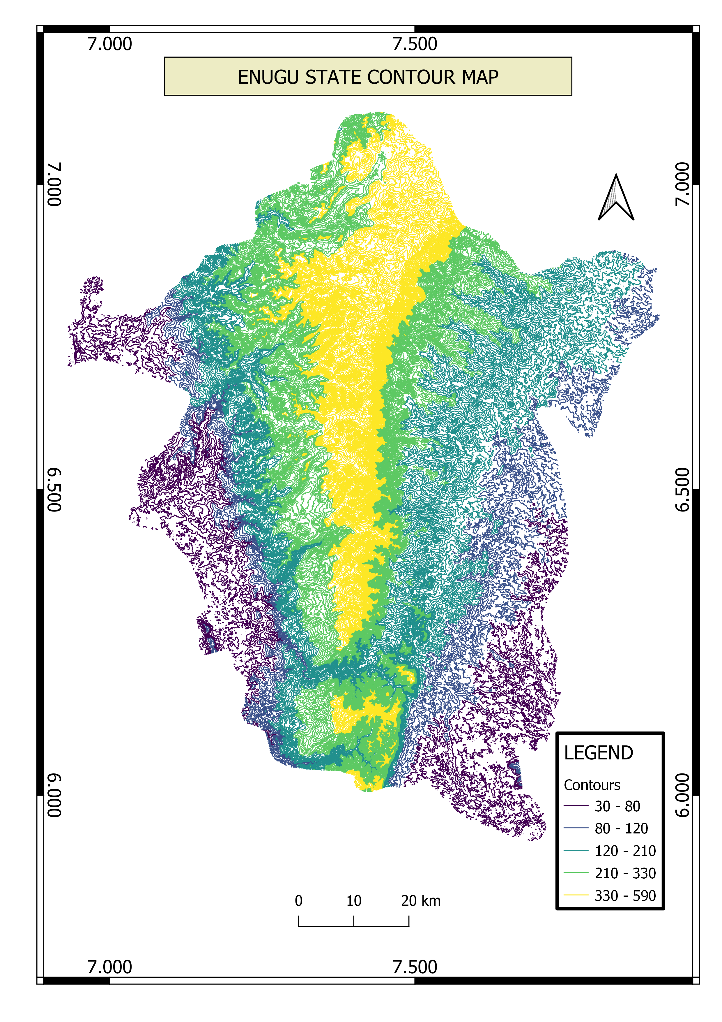
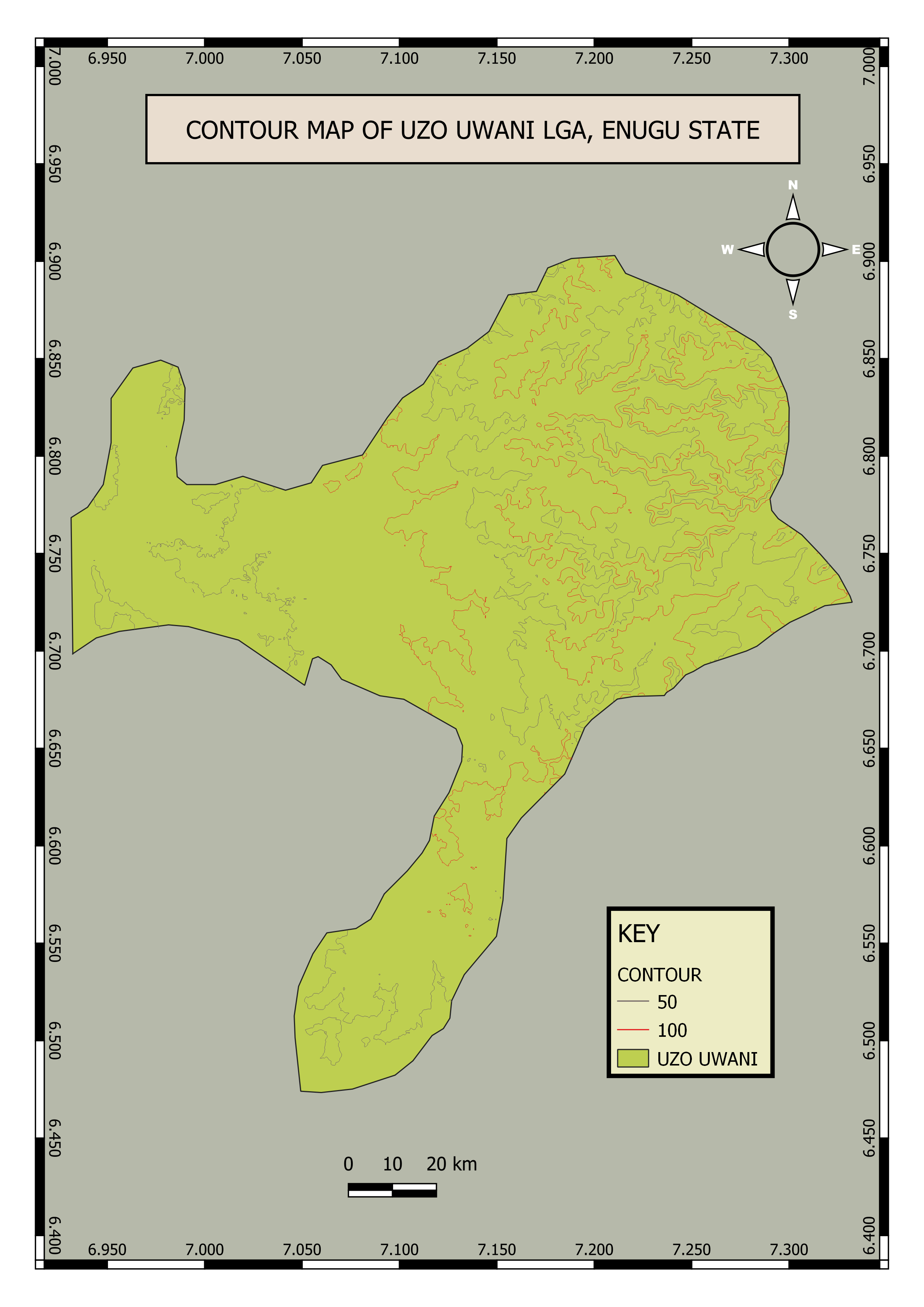

Tools used

I used QGIS

Plug-ins used

Null

tags

DEMQGIS

More by Chukwulobe Martins Ugonna

Map of Anambra classed by Population
361
Map of Enugu state showing road network
433
Map of Udi LGA in Enugu State, Nigeria
177
Hypothetical security map of Nigeria
20
Map of Kogi state highlighting Lokoja
445
Elevation map of Uzo Uwani Enugu State
39
Map of Ekwusigo LGA, Anambra State
267
Map of Kogi State
Map of Kogi State
579

You might also like

New Mexico Wildfires
Keran Nkongolo
New Mexico Wildfires
Keran NkongoloPro
19
Uso e ocupação no subcentro de Jatiúca
Priscila Andreza dos Santos Buarque
Uso e ocupação no subcentro de Jatiúca
Priscila Andreza...
200
Geologia de São Sebastião-AL
Priscila Andreza dos Santos Buarque
Geologia de São Sebastião-AL
Priscila Andreza...
56
Setor terciário - Subcentro de Bebedouro
Priscila Andreza dos Santos Buarque
Setor terciário - Subcentro de Bebedouro
Priscila Andreza...
36
Distribution of spiders Mecynogea
Philip Russo
Distribution of spiders Mecynogea
Philip Russo
490
NYC property types
Jude Restis
NYC property types
Jude Restis
9
Fator de uso e ocupação do solo
ana karla rodrigues lobato
Fator de uso e ocupação do solo
ana karla...
7
Seafloor map around Jan Mayen
Kareen Bröker
Seafloor map around Jan Mayen
Kareen Bröker
50
Satellite data for land cover mapping
Kareen Bröker
Satellite data for land cover mapping
Kareen Bröker
46
Maryland Soybean and Corn
Keran Nkongolo
Maryland Soybean and Corn
Keran NkongoloPro
31
Habitat Suitability Index Model Example
Ali Mulla
Habitat Suitability Index Model Example
Ali Mulla
113
PrettyMap of Dar-es-salaam
Hemed Lungo
PrettyMap of Dar-es-salaam
Hemed Lungo
37

Join the community!

We're a place where geospatial professionals showcase their works and discover opportunities.

Sign Up for free