

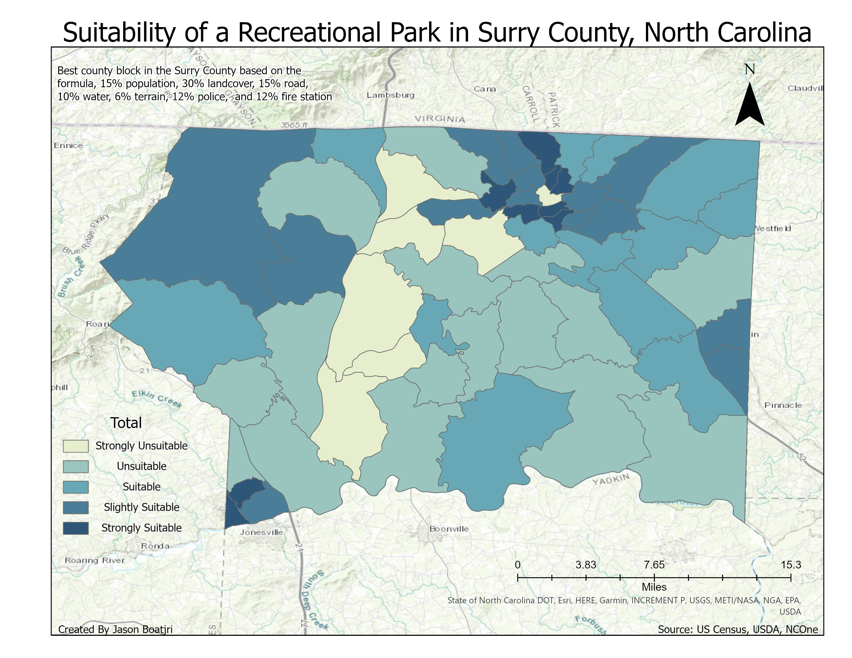
The following map displays hazardous levels at Glacier National Park, Montana, USA. Based on six factors: biomass levels, flammable vegetation, slope measurements, wind gusts and speed, human activities of trails, and bodies of water. The weighted calculation is sum to 100 with biomass at 24%, fire fuel at 28%, steep elevation at 9%, wind speed at 17%, trail paths at 21%, and water bodies at 1%. The assessment finding was that the middle of the park is the least prone to fires due to bodies of water and well-maintained areas. The perfect condition for a fire to start would be the far left corner of the park where human activity is prevalent, wind gusts are likely and strong, and vegetation build-up. The tasks used to complete this project were spatial analyst tools for slope, reclassify, raster calculation, and aspect. Conversion tools change polygons, rasters, and shapefiles to one type. Analysis tools such as spatial joins to edit and combine tables. The resources came from DEM, Tiger Road Shapefile, raster landcover, and NDVI.
Hazardous Level at Glacier National Park
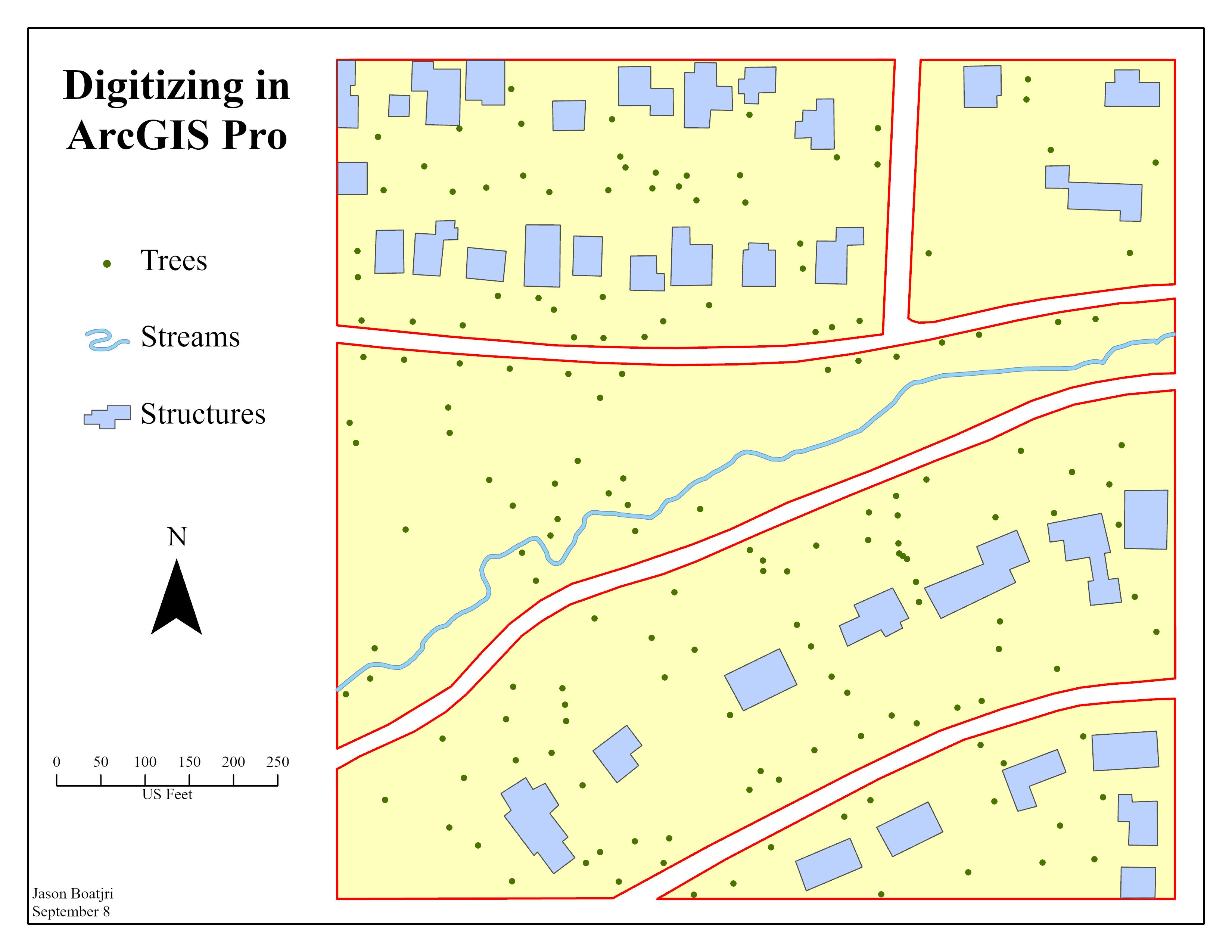
Tools used
ArcGIS Pro
Plug-ins used
Conversion ToolsDEMRasterSlopeSpatial analystSpatial Join
tags
DEMfire mapHazard
More by Jason Boatjri


You might also like


Join the community!
We're a place where geospatial professionals showcase their works and discover opportunities.