Sign up or log in to your Spatialnode account.

Takes less than a few seconds.

Iceland

Kareen Bröker
Kareen Bröker•

May 16, 2023

Iceland

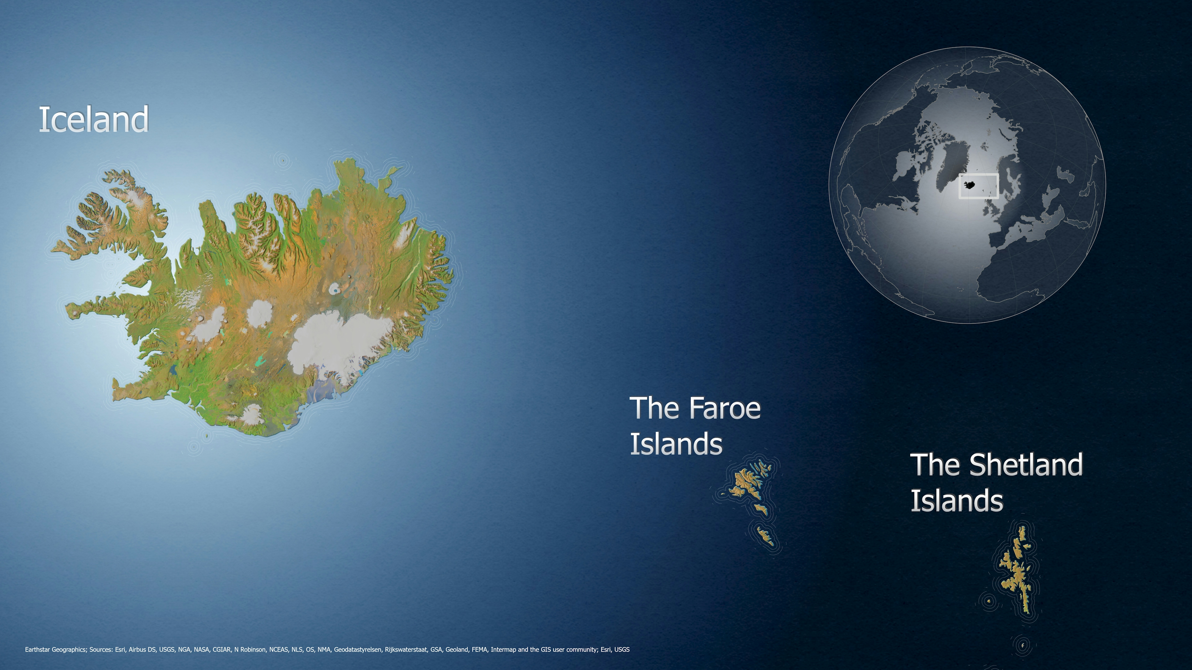
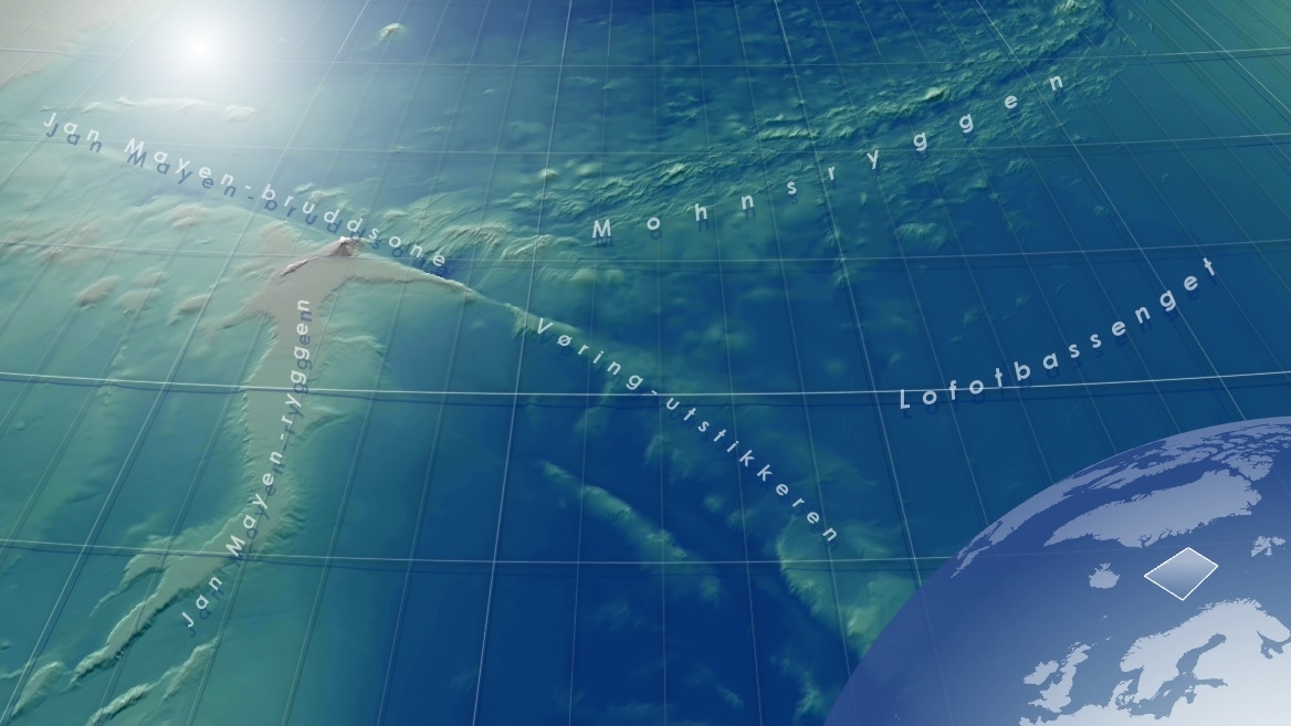
This map showing Iceland was created in 2023.

It is inspired by a tutorial from John Nelson at the ArcGIS Blog. Thank you, John, for a great tutorial!
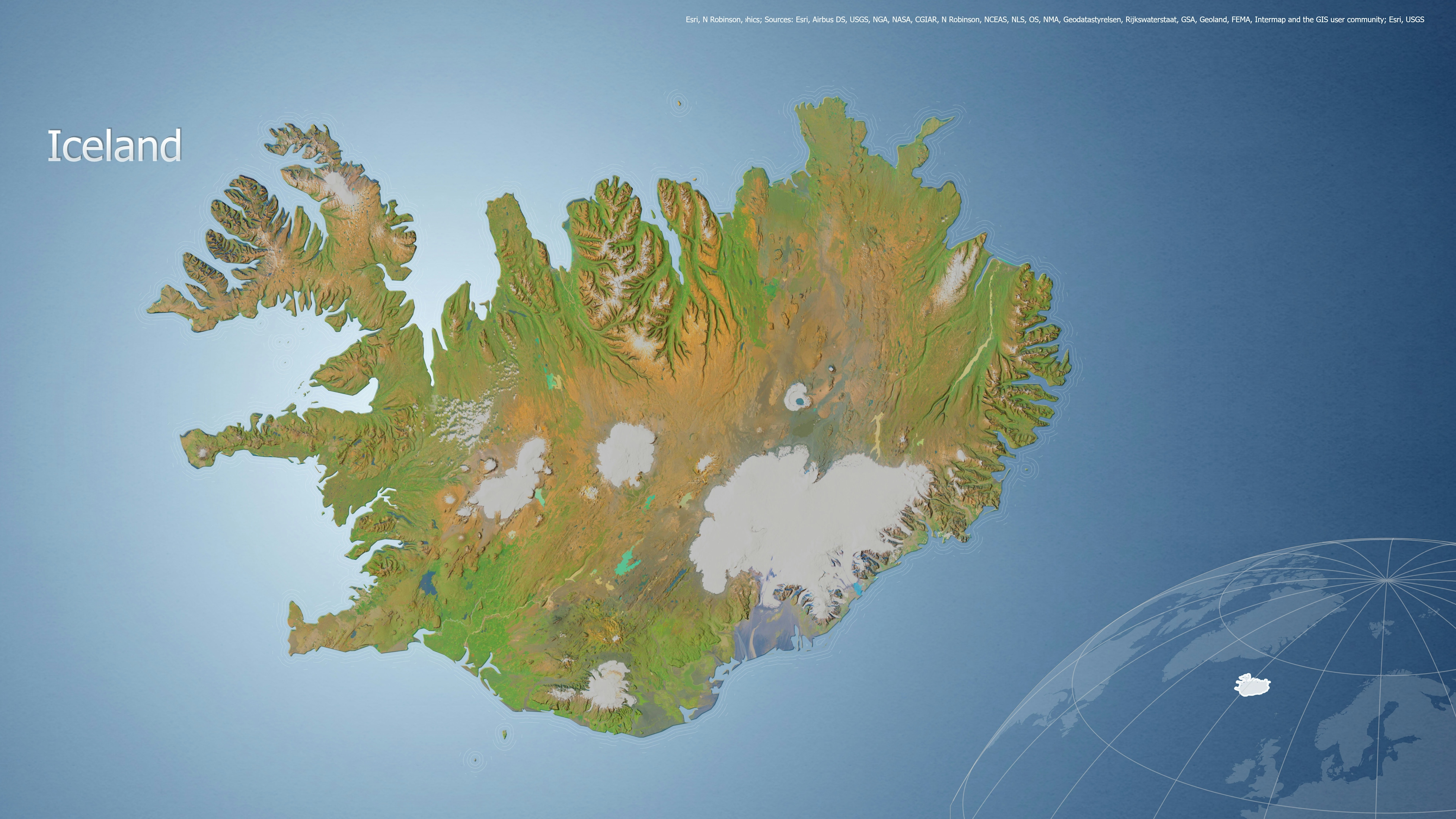

Tools used

ArcGIS Pro

Plug-ins used

ArcGIS Living Atlas of the WorldGEBCO bathymetryNatural Earth dataRaster FunctionsSpatial analyst

tags

Cartography

More by Kareen Bröker

Seafloor map around Jan Mayen
50
The Norwegian Coastal Current
193
MAREANO WEB
MAREANO WEB
42
Simulator database: Nordkapp-Hammerfest
69
Exercise - live dashboard
16
Iceland, the Faroe and Shetland Islands
82
Satellite data
Satellite data
39
Visualization of possible conflict areas
44
Satellite data for land cover mapping
48
Simulator database: Haugesund-Tananger
23
EGNOS TRAN - Maritime
22
Exercise - Descriptive Analytics
62

You might also like

Missouri Wells
Keran Nkongolo
Missouri Wells
Keran NkongoloPro
13
Springfield Sinkholes
Keran Nkongolo
Springfield Sinkholes
Keran NkongoloPro
70
The California Water Crisis
Naomi Yates
The California Water Crisis
Naomi Yates
296
Historical shift 1943 to 2020
Michael Nau
Historical shift 1943 to 2020
Michael Nau
61
Policing and Voronoi
Don Cameron
Policing and Voronoi
Don Cameron
279
Uso e Ocupação Solo - SC (2003 - 2023)
Paulo Vitor Moraes Estella
Uso e Ocupação Solo - SC (2003 - 2023)
Paulo Vitor...
120
Redistricting Plan 1-Collin County
Richard Wierengo
Redistricting Plan 1-Collin County
Richard Wierengo
13
Transit Line Frequencies
Bertrand Lobo
Transit Line Frequencies
Bertrand Lobo
93
Drainage basins of Nigeria
Balogun Temitope
Drainage basins of Nigeria
Balogun Temitope
904
Environmental Impact Assessment
omoogun bankole
Environmental Impact Assessment
omoogun bankole
14
Geospatial Data Processing for CHESF
Kaio Serrano Galvão
Geospatial Data Processing for CHESF
Kaio Serrano Galvão
21
Declividade Corrego Marrecas
luiz felipe maçon
Declividade Corrego Marrecas
luiz felipe maçon
10

Join the community!

We're a place where geospatial professionals showcase their works and discover opportunities.

Sign Up for free