Sign up or log in to your Spatialnode account.

Takes less than a few seconds.

Simulator database: Vessels

Kareen Bröker
Kareen Bröker•

May 16, 2023

Simulator database: Vessels

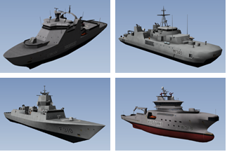
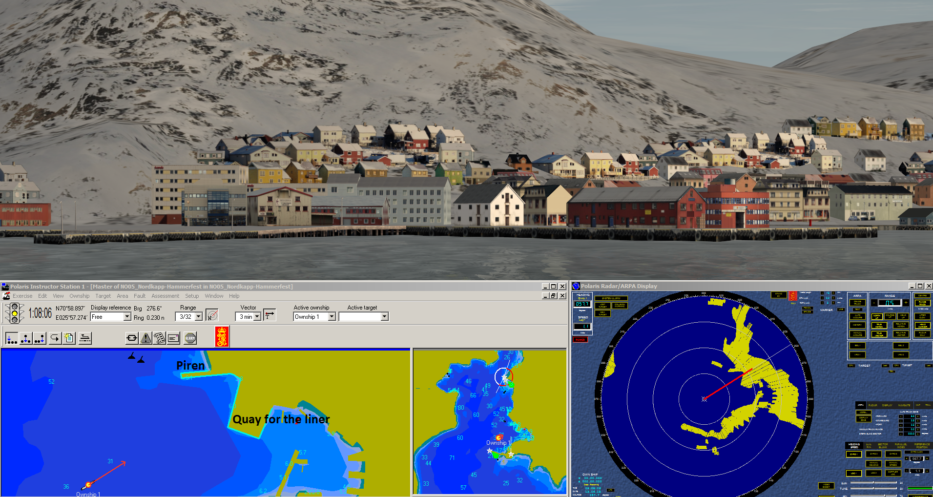
3D modelled vessels for Kongsberg Polaris and K-SIM Simulator. The vessels were created in 2010.


Tools used

3D Studio MaxAdobe PhotoshopPresagis Creator

Plug-ins used

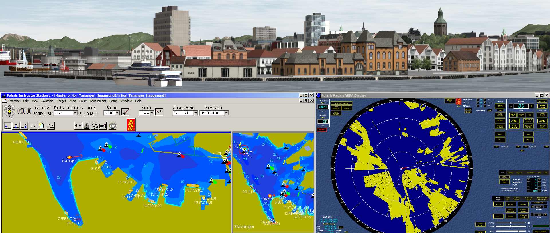
Simulator specific tools

tags

3D modellingSimulator

More by Kareen Bröker

MAREANO WEB
MAREANO WEB
47
Simulator database: Haugesund-Tananger
26
Exercise - live dashboard
16
Iceland
Iceland
56
Seafloor map around Jan Mayen
58
Satellite data for land cover mapping
52
EGNOS TRAN - Maritime
22
Simulator database: Nordkapp-Hammerfest
82
Satellite data
Satellite data
43
The Norwegian Coastal Current
218
Iceland, the Faroe and Shetland Islands
99
Exercise - Descriptive Analytics
70

You might also like

Acehnese Immigrants' Route to Malaysia
Muhammad Rifqy
Acehnese Immigrants' Route to Malaysia
Muhammad Rifqy
138
3D Elevation Map of West Sumatera
Muhammad Rifqy
3D Elevation Map of West Sumatera
Muhammad Rifqy
125
Mapa de focos de Queimadas do Piauí
RONEIDE DOS SANTOS SOUSA
Mapa de focos de Queimadas do Piauí
RONEIDE DOS...
52
School Service Area Analysis Network GIS
Mai Alfadel
School Service Area Analysis Network GIS
Mai Alfadel
4
Wildlife crossings priorities in Guyana
Angela Mejia
Wildlife crossings priorities in Guyana
Angela Mejia
21
Análise Multicritério
Carlos Joubert Sousa da Rocha
Análise Multicritério
Carlos Joubert...
361
Stormwater Pipe Survey
JAYASHRI KORADE
Stormwater Pipe Survey
JAYASHRI KORADE
50
Mapa hipsométrico da Serra do Espinhaço
Thawanny de Carvalho
Mapa hipsométrico da Serra do Espinhaço
Thawanny de Carvalho
3
Safeguarding Frog Lake First Nation
Kamille Mendoza
Safeguarding Frog Lake First Nation
Kamille Mendoza
24
How to Automate Territory Optimization
Stewart Berry
How to Automate Territory Optimization
Stewart Berry
52
Improving trade area coverage for M&A
Matthew Forrest
Improving trade area coverage for M&A
Matthew Forrest
577
Modelo digital de terreno (MDT - MDE)
Diogo Henrique Rodrigues Junior
Modelo digital de terreno (MDT - MDE)
Diogo Henrique...
16

Join the community!

We're a place where geospatial professionals showcase their works and discover opportunities.

Sign Up for free