
1_1537132.png&w=3840&q=100)
This map was created using SRTM data, which was then transformed into hillshade of various types (traditional and multidirectional) and colour ramps for subsequent overlay. The current colour ramp depicts the Marawa Minang flag. For a higher resolution, please see the demo.
3D Elevation Map of West Sumatera
Tools used
Adobe IllustratorArcGIS Pro
Plug-ins used
Terrain Tools 1.1
tags
3d mapData Visualizationhillshadetopographic map
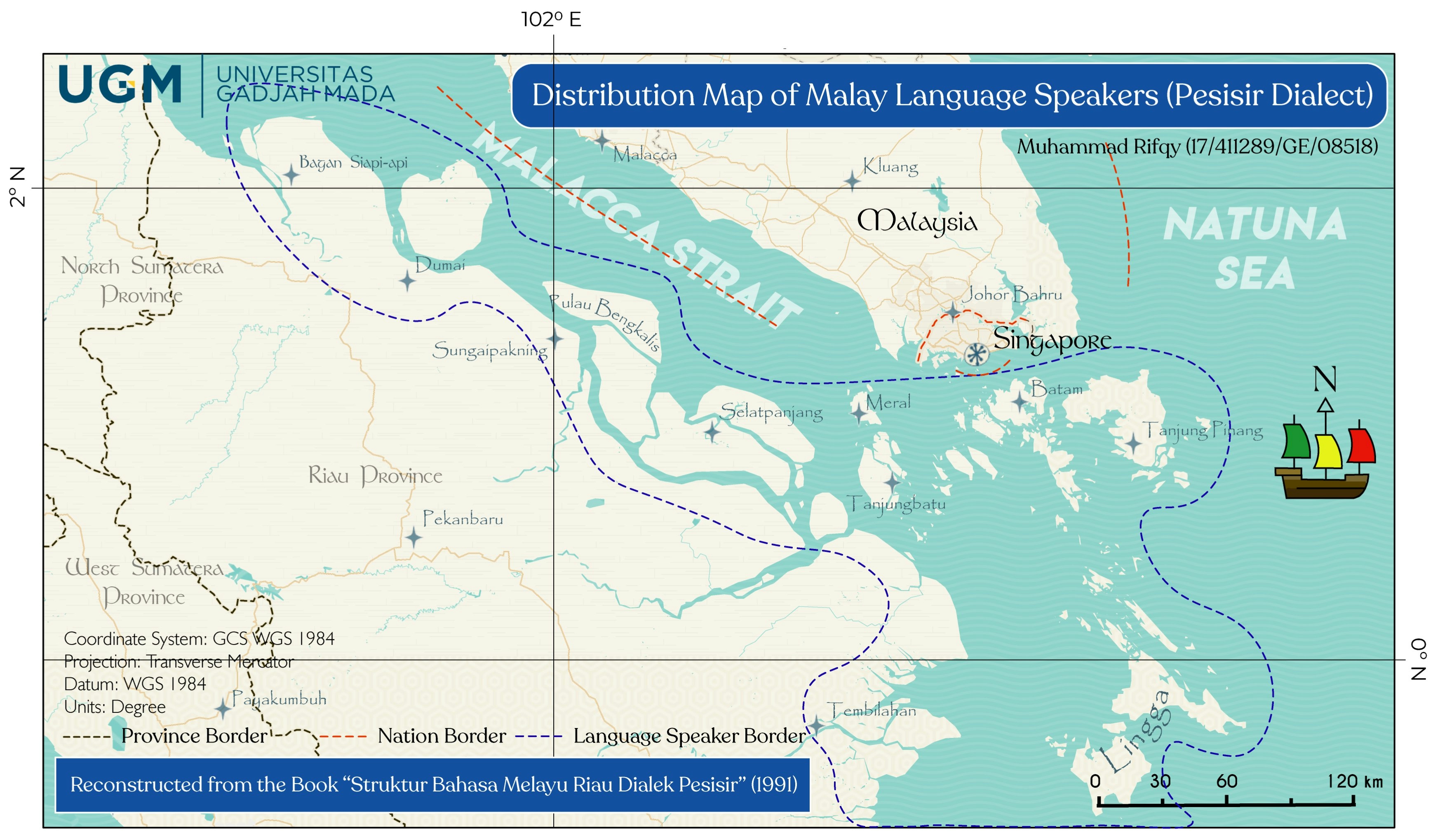
More by Muhammad Rifqy
![Lexical Map of [Shovel] in Malay Lang](/_next/image?url=https%3A%2F%2Fstorage.googleapis.com%2Fspatialnodefiles%2Fprojects%2FPetaDialekCangkul1_9000385.png&w=3840&q=100)
You might also like


Join the community!
We're a place where geospatial professionals showcase their works and discover opportunities.