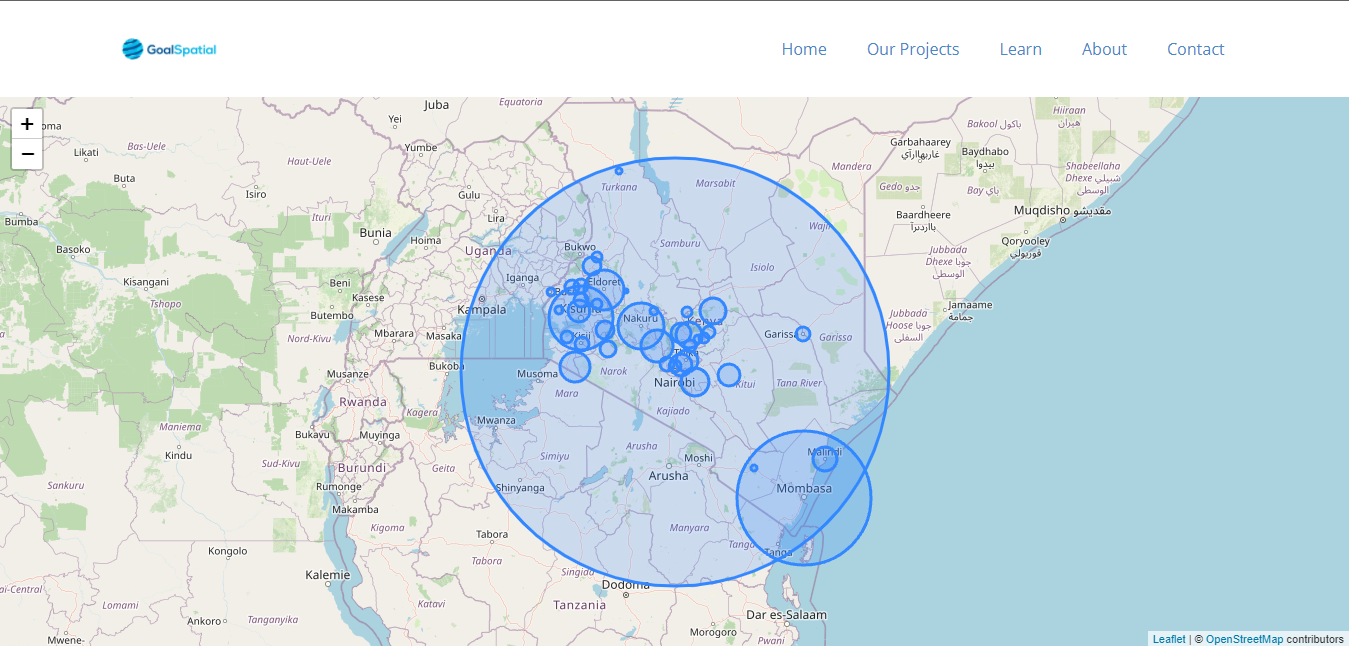
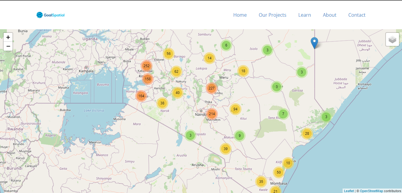
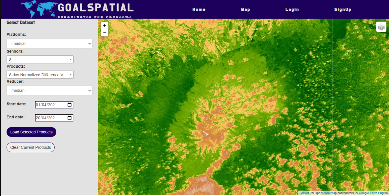
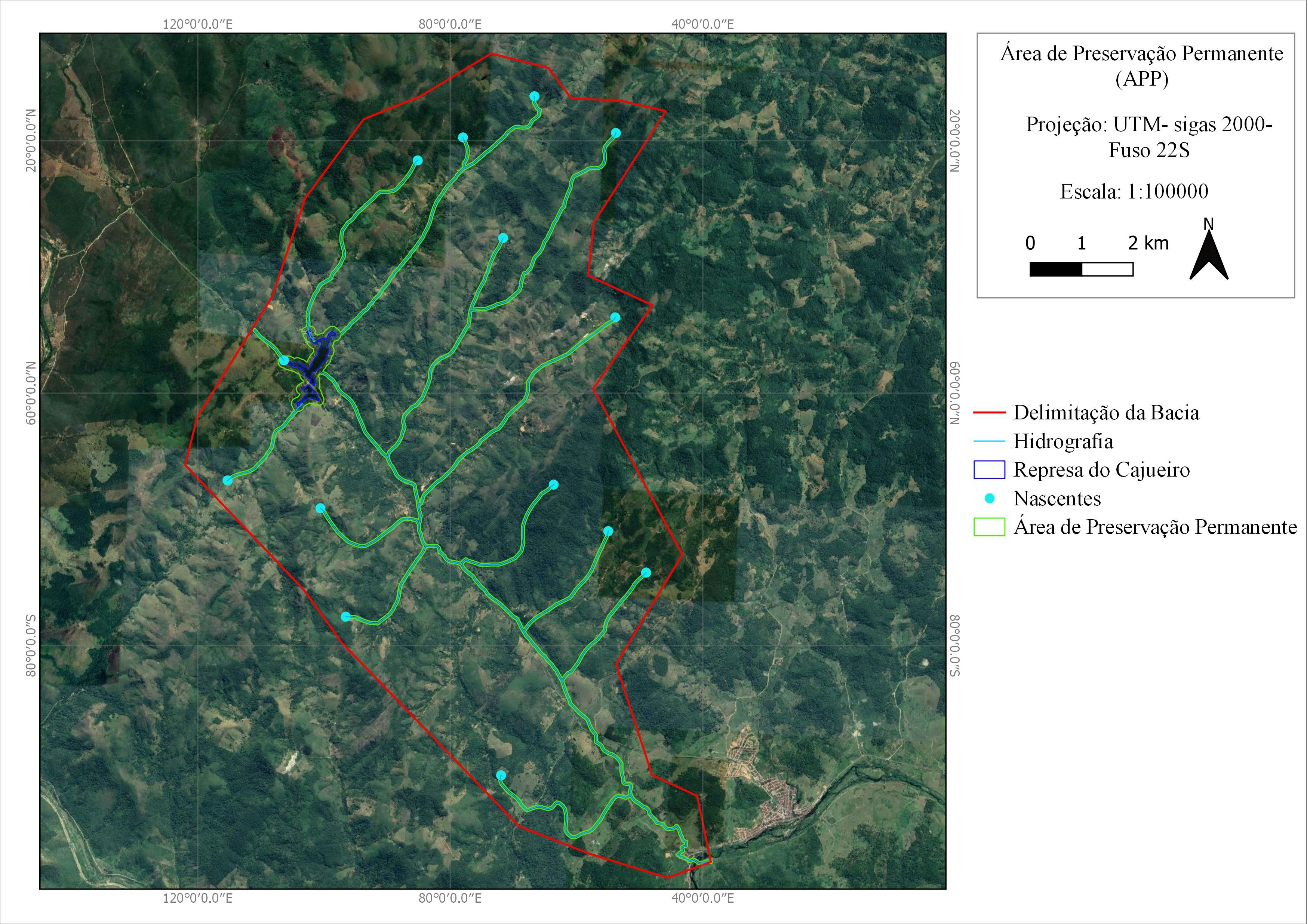
How to use proportional circles in Leaflet

Tools used
GeodjangoJavascriptLeafletJS
Plug-ins used
GeodjangoJavascriptLeafletJS
tags
GeodjangoJavascriptLeafletJS
More by Joseph Thuha

You might also like


Join the community!
We're a place where geospatial professionals showcase their works and discover opportunities.