Sign up or log in to your Spatialnode account.

Takes less than a few seconds.

Using Nominatim to Route in Leaflet

Joseph Thuha
Joseph Thuha•

December 18, 2021

Using Nominatim to Route in Leaflet

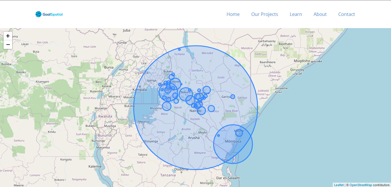
This is a demonstration on how to use Nominatim geocoder to give routes in leaflet. A tutorial is coming soon to my blog on https://blog.josephthuha.tech


Stay posted.


Tools used

Django Rest FrameworkFirebaseGeodjangoJava

Plug-ins used

Leaflet

tags

Cloud FirestoreFirebaseGISLeaflet

More by Joseph Thuha

Locate Countries Game.
910
Nandi County NDVI
Nandi County NDVI
622
How to use the MarkerCluster plugin in LeafletJS
336
How can you create your own Django Applications leveraging on data from Google Earth Engine?
How can you create your own Django Applications leveraging on...
813
Vihiga County NDVI
Vihiga County NDVI
834
How to use proportional circles in Leaflet
327
REST APIs to create standalone app
612

You might also like

Inspiração Artesanal
Rayanne Cardoso
Inspiração Artesanal
Rayanne Cardoso
15
Mapeamento fins ecológicos
Felipe Ferreira Monteiro
Mapeamento fins ecológicos
Felipe Ferreira Monteiro
498
Beltrami County 2025 Dust Control Sites
Isaac Ajayi
Beltrami County 2025 Dust Control Sites
Isaac AjayiPro
7
Surfe e Mergulho no Litoral Norte de SP
christiane tajiri
Surfe e Mergulho no Litoral Norte de SP
christiane tajiri
82
South Sound 911 Address Verification
Rhonda Parrish, GISP
South Sound 911 Address Verification
Rhonda Parrish, GISP
11
Land Use map of Vermont USA
Oswald Onimhawo
Land Use map of Vermont USA
Oswald Onimhawo
41
Lubigi Wetland Vulnerability Map Uganda
Akor, Daniel Enechojo
Lubigi Wetland Vulnerability Map Uganda
Akor, Daniel Enechojo
109
Estimating Timber Volume with LIDAR
Moez Labiadh
Estimating Timber Volume with LIDAR
Moez Labiadh
1.5K
Total Population per Electoral Division
Enoch Oluwaferanmi Babayemi
Total Population per Electoral Division
Enoch Oluwaferanmi Babayemi
21
LOCATIONAL CONTEXT MAP FOR KIAMBU COUNTY
Mary Muthee
LOCATIONAL CONTEXT MAP FOR KIAMBU COUNTY
Mary Muthee
50
Mapa de Declividade
Luiz Prado
Mapa de Declividade
Luiz Prado
8
Hipsometria Município do Ipojuca (PE)
Luan Tomaz
Hipsometria Município do Ipojuca (PE)
Luan Tomaz
160

Join the community!

We're a place where geospatial professionals showcase their works and discover opportunities.

Sign Up for free