
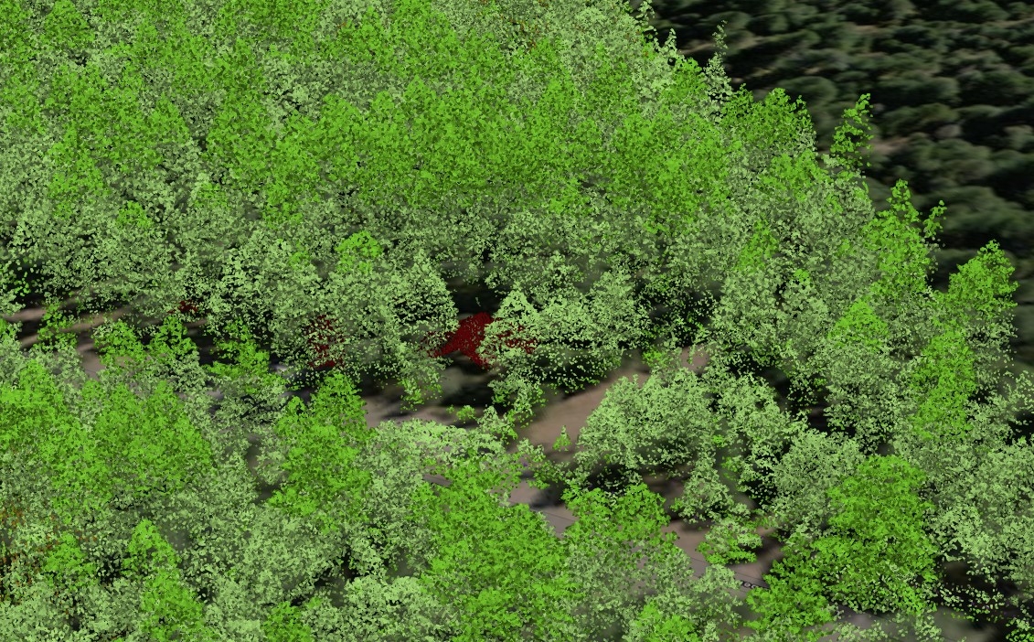
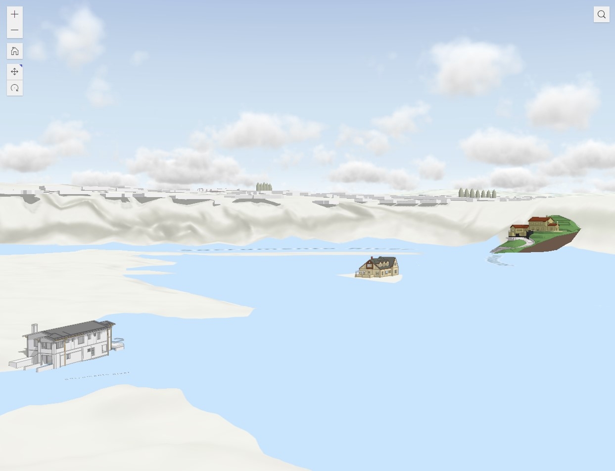
This is a 3D Scene of Lidar data captured in 2019 in Shingletown, California. I classified the points in ArcGIS Pro using automated tools and manual digitizing, then saved it for quick viewing online.
Shingletown Lidar Viewer
Tools used
ArcGIS Experience BuilderArcGIS OnlineArcGIS ProGraphisoft Archicad
tags
3DLiDAR


You might also like


Join the community!
We're a place where geospatial professionals showcase their works and discover opportunities.